Laguna Beach neighborhood
South Laguna
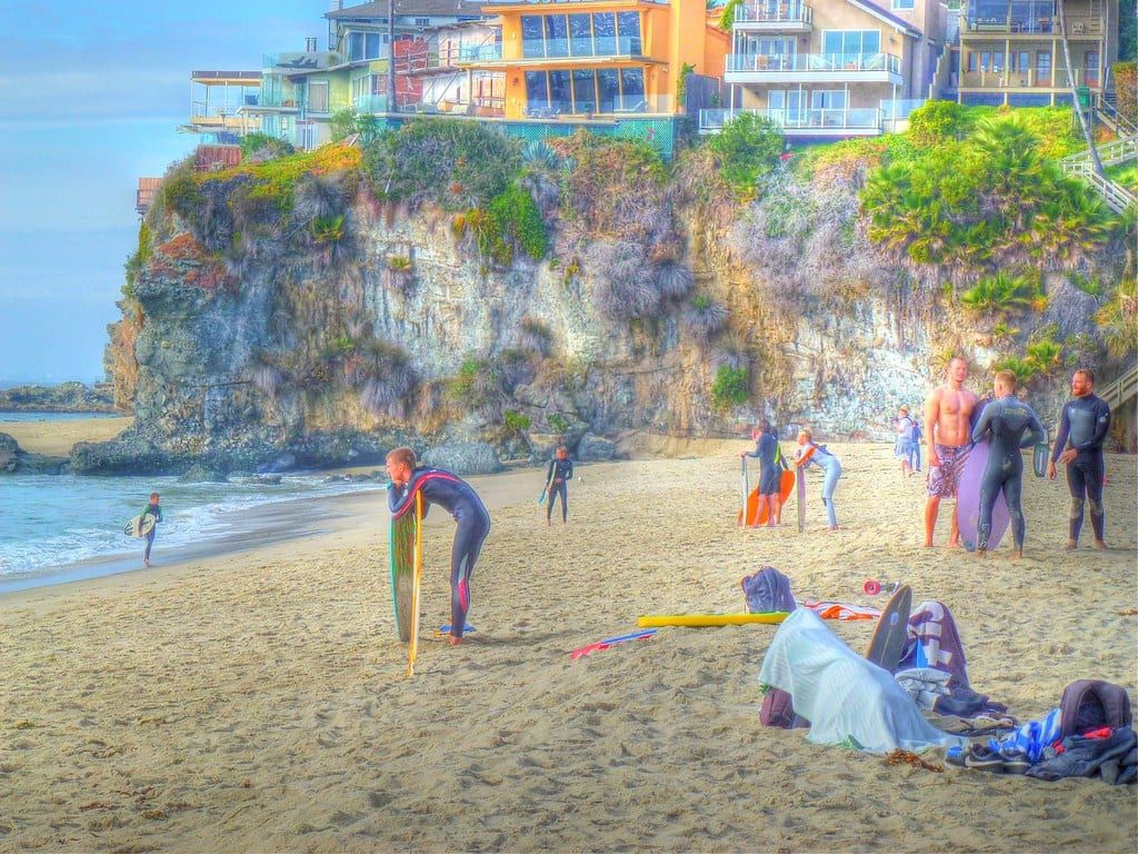
South Laguna is the southern end of Laguna Beach, a stretch of Coast Highway and coastal bluffs that runs toward Dana Point.
What it’s like
South Laguna is the southern end of Laguna Beach, a stretch of Coast Highway and coastal bluffs that runs toward Dana Point. The city’s Laguna Local map groups 25 stops under the name, from Coast Highway at Rockledge Road to Coast Highway at 9th Avenue. Several areas along this coast carry their own names and have their own pages: Victoria Beach, Lagunita, Blue Lagoon, Portafina and Three Arch Bay.
Realatrends.com describes beach cottages and modern homes, and its listings have included a duplex. Listed addresses in the South Laguna Village community include Coast Highway, Jewel Avenue, Fairview Road, 9th Avenue, 10th Avenue and Sunset Avenue. Craftsman bungalows from the early 1900s also stand in South Laguna.
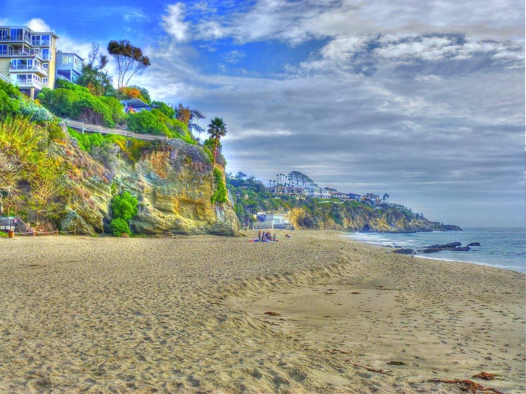
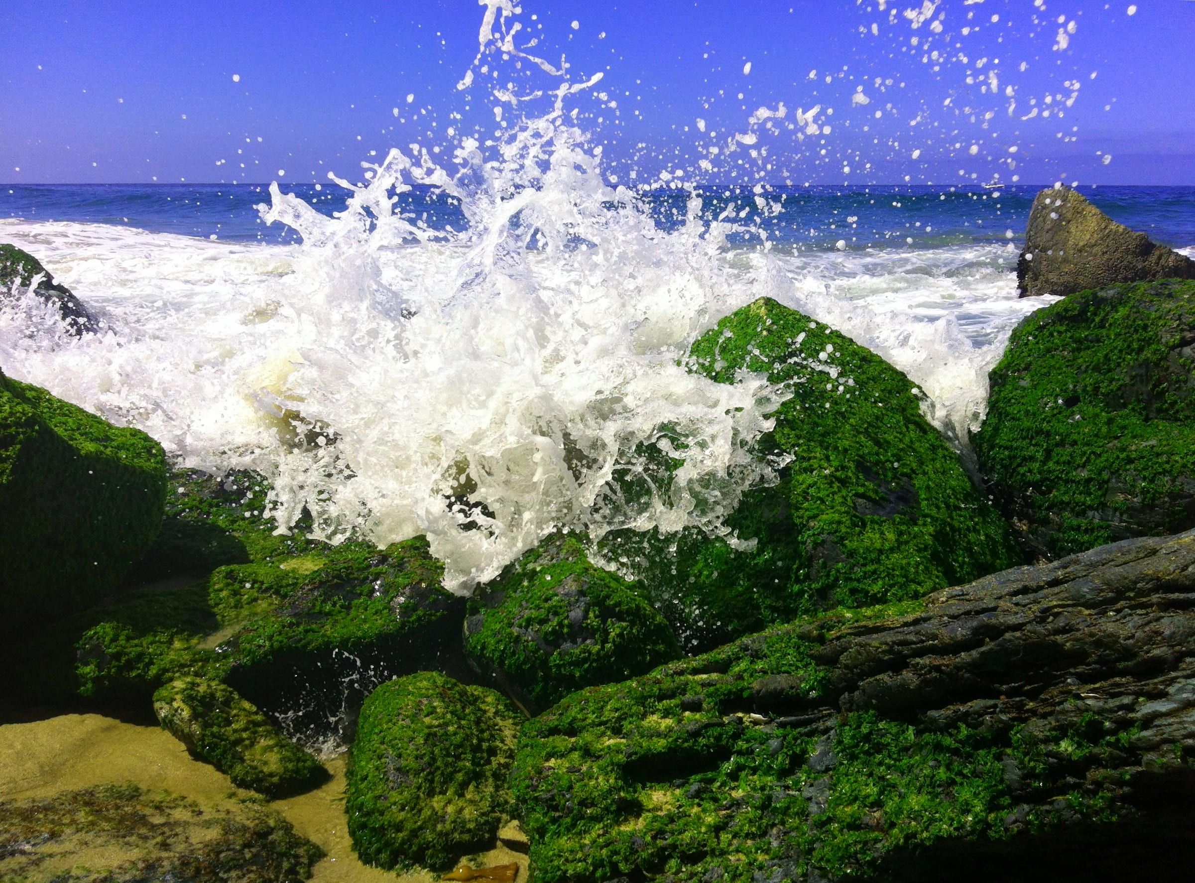
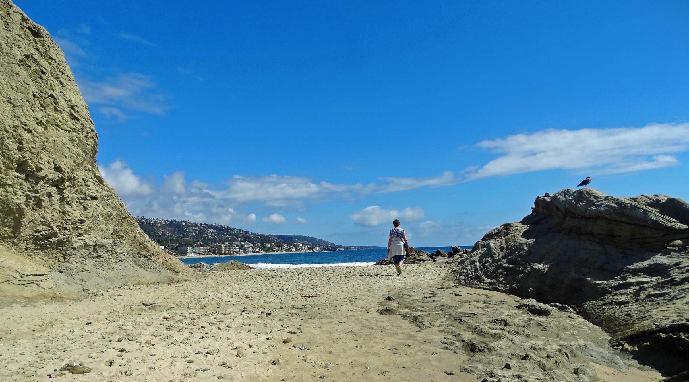
The Coastal Commission lists seven public access points here. Aliso Beach Park, in the 31000 block of South Coast Highway, lists a fee, restrooms and tide pools. Camel Point has three access points, two of them stairs to parts of Aliso Beach. West Street Beach has stairs, and Table Rock Beach has a stairway to its cove at the end of Table Rock Drive. Thousand Steps Beach has a long stairway opposite 9th Avenue, with on-street parking and restrooms. The beach pages cover each one: Aliso Beach, West Street, Table Rock and Thousand Steps.
The Laguna Beach State Marine Conservation Area runs south from Goff Island to Table Rock, and West Street Beach lies on that stretch. The California Department of Fish and Wildlife does not allow fishing or any take of marine resources there.
Getting around
The free Coastal Route trolley runs on Coast Highway between North Laguna and Heisler Park, downtown, South Laguna and Mission Hospital, and on to the Ritz-Carlton in Dana Point. On the off-season schedule, which covers September 8, 2026 to June 25, 2027, it comes every 20 to 30 minutes. Laguna Local, the city’s free on-demand shared ride, lists stops at Aliso Beach, Gelson’s Shopping Center, the Laguna Beach Community & Recreation Center, Lang Park, Table Rock, Eagle Rock Way and Mission Hospital. You book by app, online or through transit dispatch.
Mission Hospital Laguna Beach is at 31872 Pacific Coast Highway. West Street Beach lies about 3.4 miles from Main Beach in a straight line. The getting around guide has routes and hours, and the parking guide covers city permits.
Things to know before you buy or rent
South Laguna’s utilities differ from the rest of town. The city lists South Coast Water District for water and sewer and SDG&E for electricity here. The rest of the city uses the Laguna Beach County Water District, the city’s own sewer service and Southern California Edison. SoCalGas supplies gas citywide. Confirm the providers for an address.
The city is expanding its fuel break program to South Laguna, and goat grazing and hand crews maintain the breaks. The Fire Department also offers property owners a free wildfire consultation. According to the department, about 87% of the city’s land and about 65% of its buildable property sit in a Very High Fire Hazard Severity Zone. The city’s evacuation zones include South Coast, Mar Vista, Wesley, Sunset and Balboa Nyes. Each has its own map, and the city recommends that you print yours and learn the routes.
Bluff-top and oceanfront lots carry extra review. Design review sends shoreline and bluff protective devices and any improvement taller than 15 feet to a public hearing, and development that is subject to design review, or exempt from it, may still need a coastal development permit. If you are looking at a lot, the city’s GIS shows whether the parcel carries a building-site designation.
The city no longer allows new short-term lodging, meaning stays of 30 days or less, in its R-1, R-2 and R-3 residential districts. Existing permitted units are legal nonconforming, and the use runs with the land. See the short-term rentals guide.
Laguna Beach Unified School District operates the public schools. Anneliese Schools, a private school, runs a South Laguna campus for nursery through kindergarten. For school names and locations, see the schools guide. Realatrends.com’s South Laguna guide lists the homes for sale now and the most recent sales.
On the water
Beaches in and near South Laguna
Things to do
Things to do near South Laguna


Where to eat in South Laguna: 7 restaurants and cafes
Questions
Which utilities serve South Laguna?
The city lists South Coast Water District for water and sewer and SDG&E for electricity in South Laguna. The rest of the city uses the Laguna Beach County Water District, the city's sewer service and Southern California Edison.
Which beach access points are in South Laguna?
The Coastal Commission lists Aliso Beach Park, three Camel Point access points, West Street Beach, Table Rock Beach and Thousand Steps Beach, seven in all. Aliso Beach, West Street, Table Rock and Thousand Steps have their own pages on this site.
Is fishing allowed off South Laguna's beaches?
Not in the Laguna Beach State Marine Conservation Area, which runs from Goff Island to Table Rock. The California Department of Fish and Wildlife bans recreational and commercial fishing and any take of marine resources there.
Does the trolley run to South Laguna?
Yes. The free Coastal Route trolley runs on Coast Highway to South Laguna and Mission Hospital, and on to the Ritz-Carlton in Dana Point. The city's Laguna Local shared ride lists 25 South Laguna stops.
Questions about South Laguna?
Ask a local broker about streets, homes, rentals or timing.
Last reviewed
Sources (16)
- South Laguna has a mix of beach cottages and modern homes; a duplex on 9th Avenue is among the listings; MLS addresses in South Laguna Village include Coast Highway, Jewel Avenue, Fairview Road, 9th Avenue, 10th Avenue and Sunset Avenue: realatrends.com, checked 2026-10-09
- American Craftsman bungalows from the early 1900s dot the downtown and South Laguna areas: en.wikipedia.org, checked 2026-10-09
- Aliso Beach Park (31000 block of S. Coast Hwy., swimming and surfing, a fee, restrooms, tide pools); Camel Point Beach Access #1 to #3, where #2 and #3 have stairs to parts of Aliso Beach, seven South Laguna access points in all; West Street Beach has stairs and on-street parking; Table Rock Beach has a stairway to the cove at the end of Table Rock Dr. with on-street parking; Thousand Steps Beach has a long stairway, on-street parking and restrooms, opposite 9th Ave.; West Street Beach coordinates: api.coastal.ca.gov, checked 2026-10-09
- Laguna Beach State Marine Conservation Area (No-Take) extends south from Goff Island to Table Rock, between 33 degrees 30.713 minutes and 33 degrees 30.050 minutes north; recreational and commercial fishing and any take of marine resources are not allowed; it is unlawful to injure, damage, take or possess any living, geological or cultural marine resource: wildlife.ca.gov, checked 2026-10-09
- West Street Beach sits at 33.5044 N, between Goff Island and Table Rock Beach and inside the conservation area's boundary lines: api.coastal.ca.gov, checked 2026-10-09
- Laguna Local groups 25 South Laguna stops, from Coast Hwy SB @ Rockledge Road to Coast Hwy NB @ 9th Ave, including Aliso Beach, Gelson's Shopping Center, the Laguna Beach Community & Recreation Center, Lang Park, Table Rock, Eagle Rock Way and Mission Hospital: lagunabeachcity.net, checked 2026-10-09
- The Coastal Route trolley is free and runs on Coast Highway between North Laguna/Heisler Park, downtown, South Laguna/Mission Hospital and the Ritz-Carlton in Dana Point, every 20 to 30 minutes on the off-season schedule (Sept. 8, 2026 to June 25, 2027); Laguna Local is a free on-demand shared ride booked by app, online or by calling transit dispatch: lagunabeachcity.net, checked 2026-10-09
- Mission Hospital Laguna Beach at 31872 Pacific Coast Highway, South Laguna: nominatim.openstreetmap.org, checked 2026-10-09
- SDG&E provides electricity to South Laguna; South Coast Water District provides water and sewer to South Laguna; SoCalGas provides natural gas to all of Laguna Beach; Southern California Edison, Laguna Beach County Water District and the city's Water Quality Department serve the rest of the city; the Laguna Beach Unified School District operates the public schools: lagunabeachcity.net, checked 2026-10-09
- The fuel break program is expanding to South Laguna, Park Avenue and lower Bluebird Canyon; goat grazing and hand crews maintain the breaks; free wildfire consultation for property owners; 87% of the city's land and about 65% of its buildable property are in a Very High Fire Hazard Severity Zone: lagunabeachcity.net, checked 2026-10-09
- The city's 22 evacuation zones include South Coast (LAB22), Mar Vista (LAB14), Wesley (LAB20), Sunset (LAB17) and Balboa Nyes (LAB02), each with a map; the city recommends printing it and learning your routes: lagunabeachcity.net, checked 2026-10-09
- Design review sends shoreline and bluff protective devices and improvements above 15 feet to a public hearing; development subject to design review, or exempt from it, may still need a coastal development permit: ecode360.com, checked 2026-10-09
- A parcel's building-site designation shows in the city's GIS and decides whether an unimproved property may be developed: lagunabeachcity.net, checked 2026-10-09
- Anneliese Schools' South Laguna Campus serves nursery, preschool, pre-K or TK, and kindergarten: annelieseschools.com, checked 2026-10-09
- Short-term lodging is no longer allowed in the R-1, R-2 and R-3 districts; existing permitted units are legal nonconforming and the use runs with the land: lagunabeachcity.net, checked 2026-10-09
- Short-term rental means renting a lodging unit for 30 consecutive days or less: lagunabeachcity.net, checked 2026-10-09