South Laguna · Marine Conservation Area
Table Rock Beach
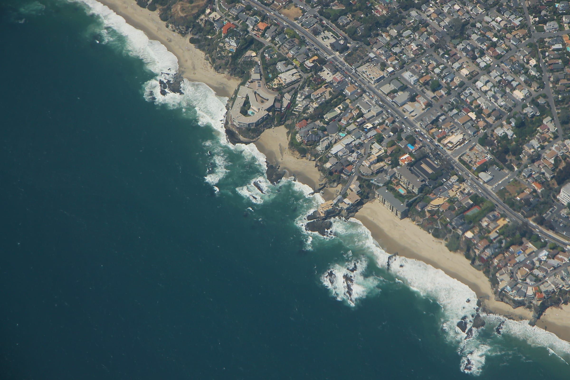
Table Rock Beach is a cove reached by a stairway at the end of Table Rock Drive in South Laguna, and Table Rock marks the south end of the Laguna Beach marine conservation area.
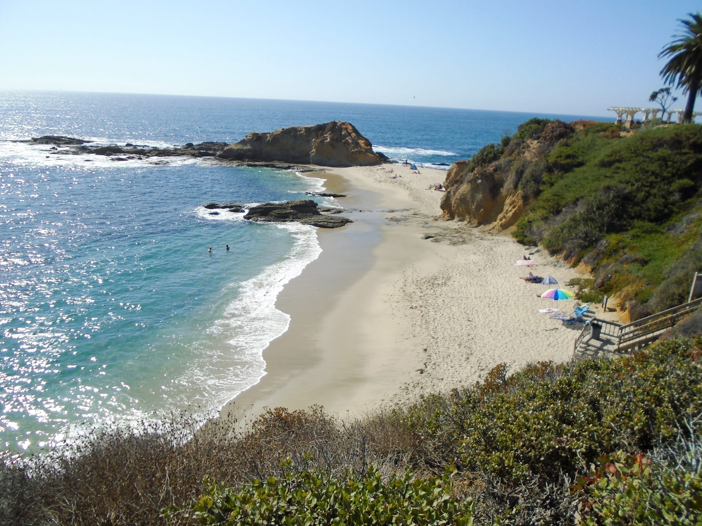
Photo: formulanone, CC BY-SA 2.0
What it’s like
Table Rock Beach is a cove of sand with rock along the shore. The Coastal Commission lists sand, a rocky shore and a stairway down from the end of Table Rock Drive. The listing shows no restrooms and no disabled access.
The cove sits in a run of stair-access beaches in South Laguna. West Street Beach lies a few hundred yards north, and Thousand Steps Beach lies just under half a mile south in a straight line. Between Table Rock and Thousand Steps sits Totuava, a cove with no public access point of its own.
For the streets and housing around the cove, see the South Laguna neighborhood page.
Getting there and parking
The stairway starts at the end of Table Rock Drive. The Coastal Commission lists on-street parking and no lot. Park on a nearby street, read the signs for time limits and permit zones, and walk to the end of the street.
The free Coastal Route trolley runs from North Laguna through downtown to South Laguna, so check the city’s trolley page for the stop nearest Table Rock Drive. Our parking guide covers permits and lots across town.
Beaches south of Aliso Creek close between 10:00 p.m. and 6:00 a.m. Table Rock falls in that group.
Rules and safety
Table Rock gives the Laguna Beach State Marine Conservation Area its southern end. California Fish and Wildlife describes the area as about 1.2 miles of shoreline from Goff Island south to Table Rock. The rule inside it is the same as in the reserve to the north: it is unlawful to injure, damage, take or possess any living, geological or cultural marine resource. Recreational and commercial fishing are not allowed. Leave rocks, kelp and every live animal where you find them.
The rules change a short way south. The Dana Point State Marine Conservation Area abuts the Laguna Beach area, and both boundary lists use the same line of latitude, 33 degrees 30.050 minutes north. Dana Point allows recreational take of finfish by hook-and-line or spearfishing, and lobster and urchin, but it prohibits taking living marine resources from tide pools. Table Rock Beach lies on the Laguna Beach side, so the stricter rule applies on this sand.
Swimming, wading, boating, diving and surfing stay allowed unless a sign says otherwise.
On beaches where dogs are allowed, the city requires a leash of 6 feet or shorter. From June 15 to September 10, dogs are allowed only before 9:00 a.m. and after 6:00 p.m. The Coastal Commission’s file has no dog information for Table Rock, so read the signs.
Check a tide table before you go down. The Department of Marine Safety answers questions about tides and surf.
Good to know
A neighboring cove can sit in a different protected area, so read the signs when you move along the coast. The next stairway south that the Coastal Commission lists is at Thousand Steps Beach.
Live from NOAA
Tides and water at Table Rock
| Day | High and low tides |
|---|---|
| Loading NOAA predictions… | |
Sources: NOAA tide predictions, station 9410580 and NOAA NDBC buoy 46253 (owned by Scripps). The buoy reads open water offshore; water at the beach can differ. Check posted lifeguard flags before you swim.
Things to do
Things to do at Table Rock
Living nearby
South Laguna, by the numbers
The closest neighborhood to Table Rock Beach. Read the South Laguna guide.
CRMLS: homes for sale today; closed sales in the 12 months through October 19, 2026. A median needs 5 sales.
Questions
Where are the stairs to Table Rock Beach?
The Coastal Commission lists a stairway to the cove at the end of Table Rock Drive in South Laguna, with on-street parking nearby.
Can you fish at Table Rock Beach?
No. The beach lies inside the Laguna Beach State Marine Conservation Area, which is no-take, and recreational and commercial fishing are not allowed there.
What marks the end of the Laguna Beach conservation area?
Table Rock. California Fish and Wildlife describes the conservation area as running from Goff Island south to Table Rock. The Dana Point conservation area begins just south, with different rules.
Are there restrooms at Table Rock Beach?
The Coastal Commission lists none at the stairs. It lists restrooms at Thousand Steps Beach, just under half a mile south.
Moving to Laguna Beach?
Get the printable moving checklist by email: what to do before you move, moving week and your first 30 days.
Last reviewed
Sources (10)
- Table Rock Beach access (off Table Rock Dr., South Laguna; stairway to the cove at the end of Table Rock Dr., on-street parking, sandy beach, rocky shore, no restrooms, no disabled access); coordinates and facilities of West Street Beach and Thousand Steps Beach; coordinates behind the distances (Table Rock Beach at 33.502285 N lies north of the 33 degrees 30.050 minutes line): api.coastal.ca.gov, checked 2026-10-09
- Laguna Beach State Marine Conservation Area runs from Goff Island south to Table Rock, about 1.2 miles of shoreline, with a south boundary at 33 degrees 30.050 minutes north; it is unlawful to injure, damage, take or possess any living, geological or cultural marine resource; recreational and commercial fishing is not allowed: wildlife.ca.gov, checked 2026-10-09
- Dana Point State Marine Conservation Area: its northern border abuts the Laguna Beach conservation area, with a north boundary at 33 degrees 30.050 minutes north; take of living marine resources from tide pools is prohibited; recreational take of finfish by hook-and-line or spearfishing, and lobster and urchin, is allowed: wildlife.ca.gov, checked 2026-10-09
- Swimming, wading, boating, diving and surfing are allowed in marine protected areas unless specifically prohibited: wildlife.ca.gov, checked 2026-10-09
- Beaches south of Aliso Creek close between 10:00 p.m. and 6:00 a.m.; dogs on a leash 6 feet or shorter, with regular beach hours from September 11 to June 14; the Department of Marine Safety as the contact for tides and surf: visitlagunabeach.com, checked 2026-10-09
- City rule: dogs must be leashed at all times; from June 15 to September 10 dogs are allowed on the beach only before 9:00 a.m. and after 6:00 p.m., and at any time the rest of the year (read via Wayback capture of 2026-09-13): lagunabeachcity.net, checked 2026-10-09
- Swim Guide: Totuava has no public access of its own and lies north of Thousand Steps Beach: theswimguide.org, checked 2026-10-09
- A 1985 Orange County filing places the Totuava Bay beach access at 5th Street and Highway 1 in South Laguna: ceqanet.lci.ca.gov, checked 2026-10-09
- OpenStreetMap places 5th Avenue in South Laguna at about 33.501 N, south of the Table Rock Beach access (33.5023 N) and north of the Thousand Steps access opposite 9th Avenue (33.4983 N) in the Coastal Commission file: nominatim.openstreetmap.org, checked 2026-10-09
- The free Coastal Route trolley runs on Coast Highway between North Laguna/Heisler Park, downtown and South Laguna (read via Wayback capture of 2026-06-14; same row in the realatrends.com verified table): lagunabeachcity.net, checked 2026-10-09