Outdoors · Marine reserve
Laguna Beach marine protected areas
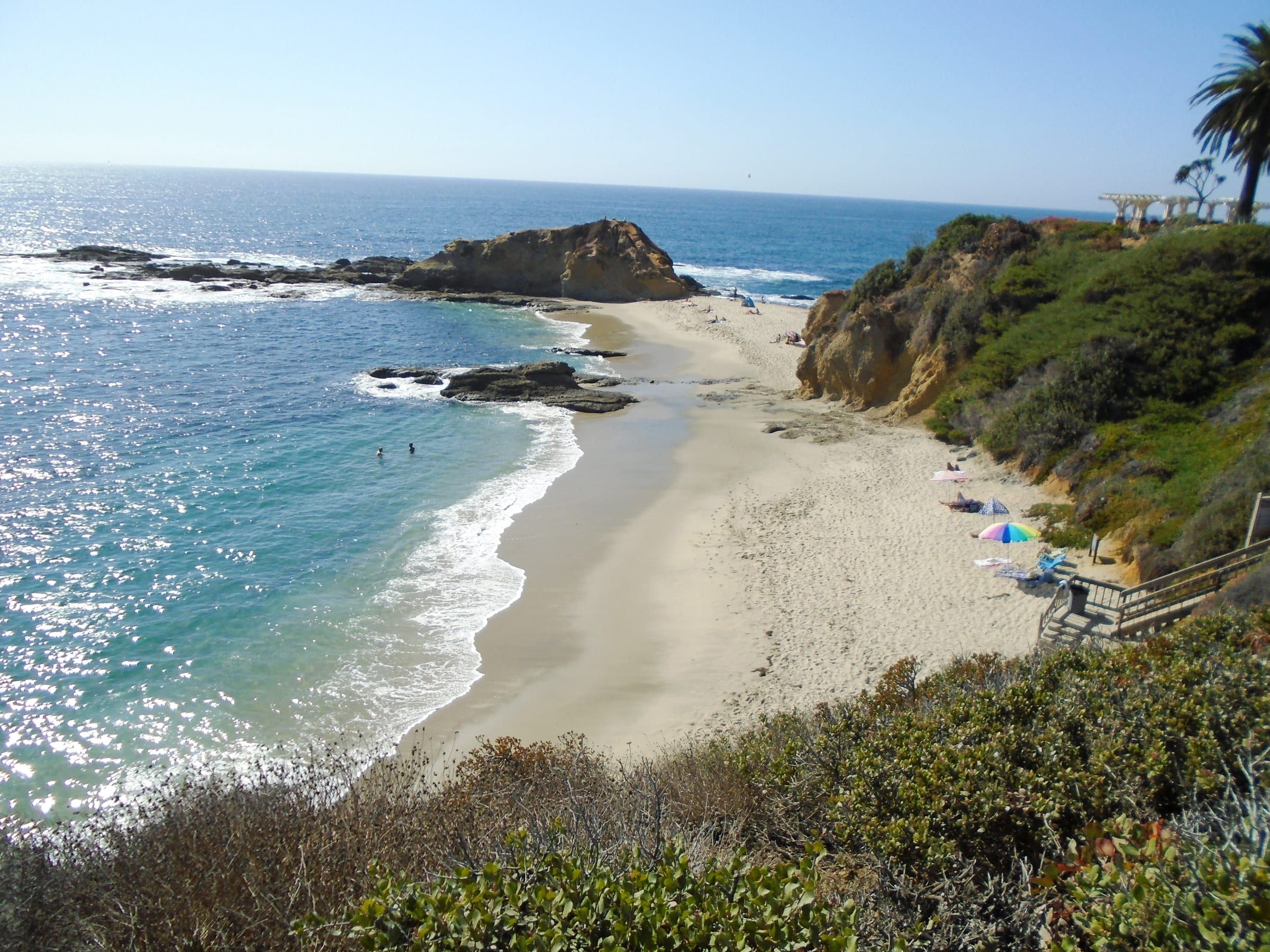
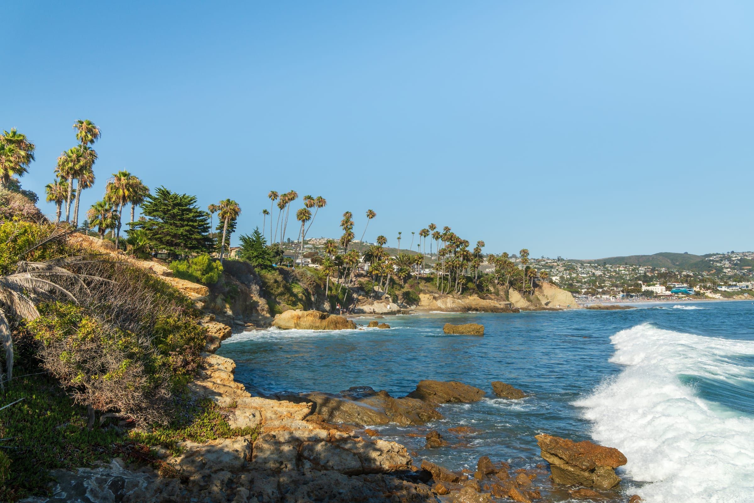
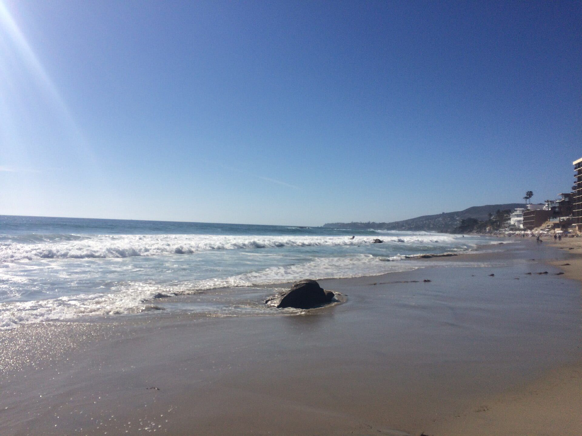
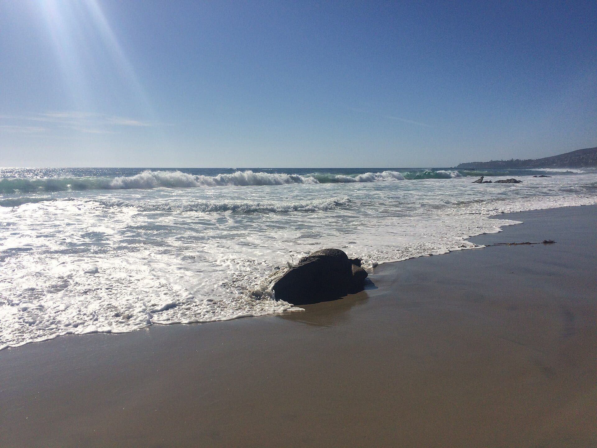
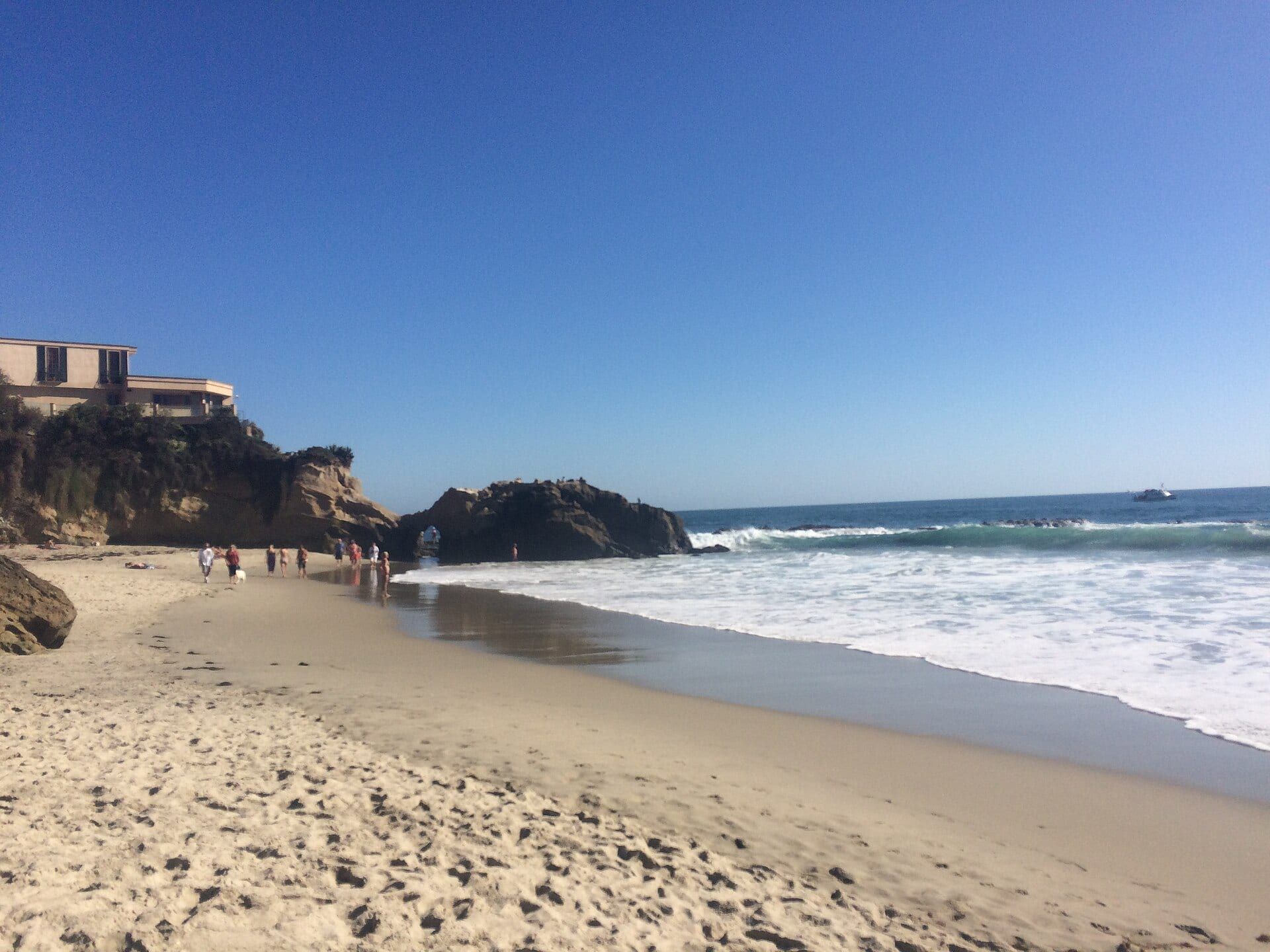
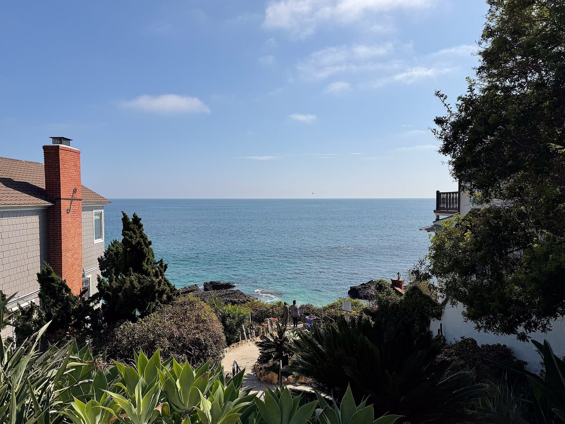
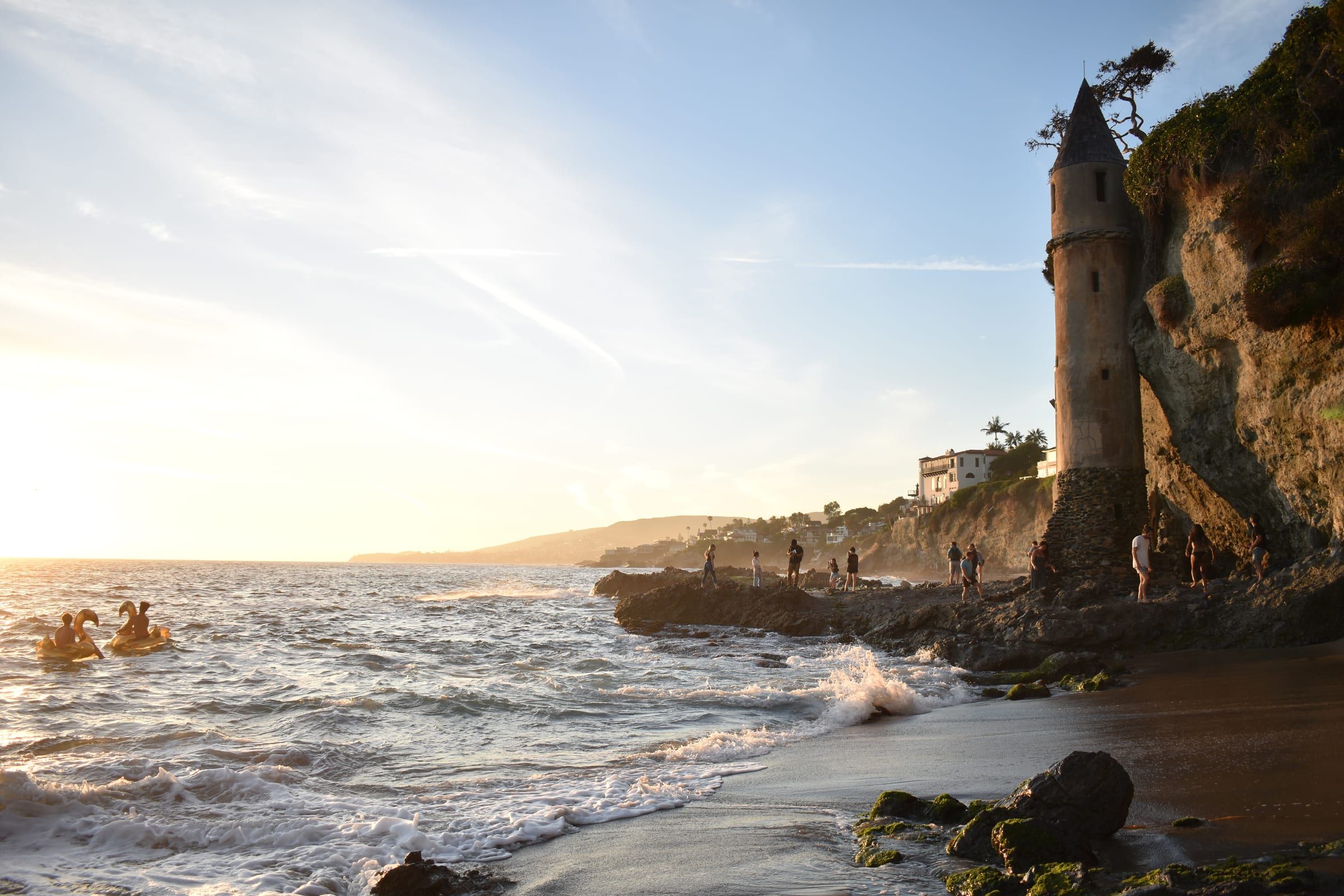
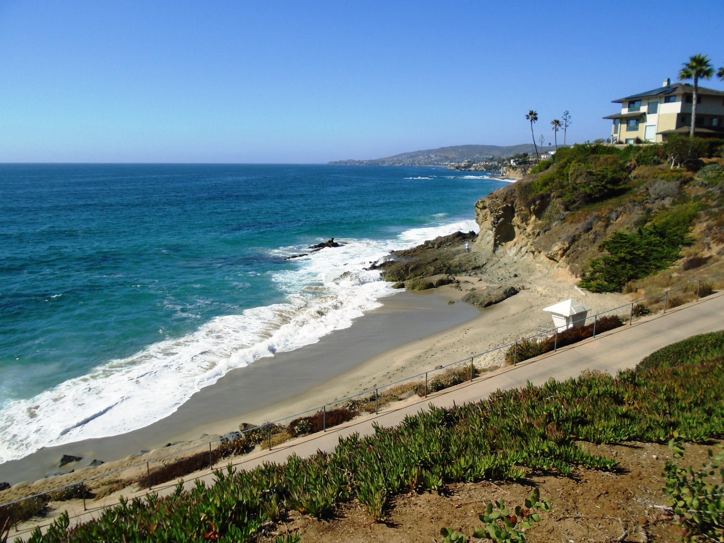
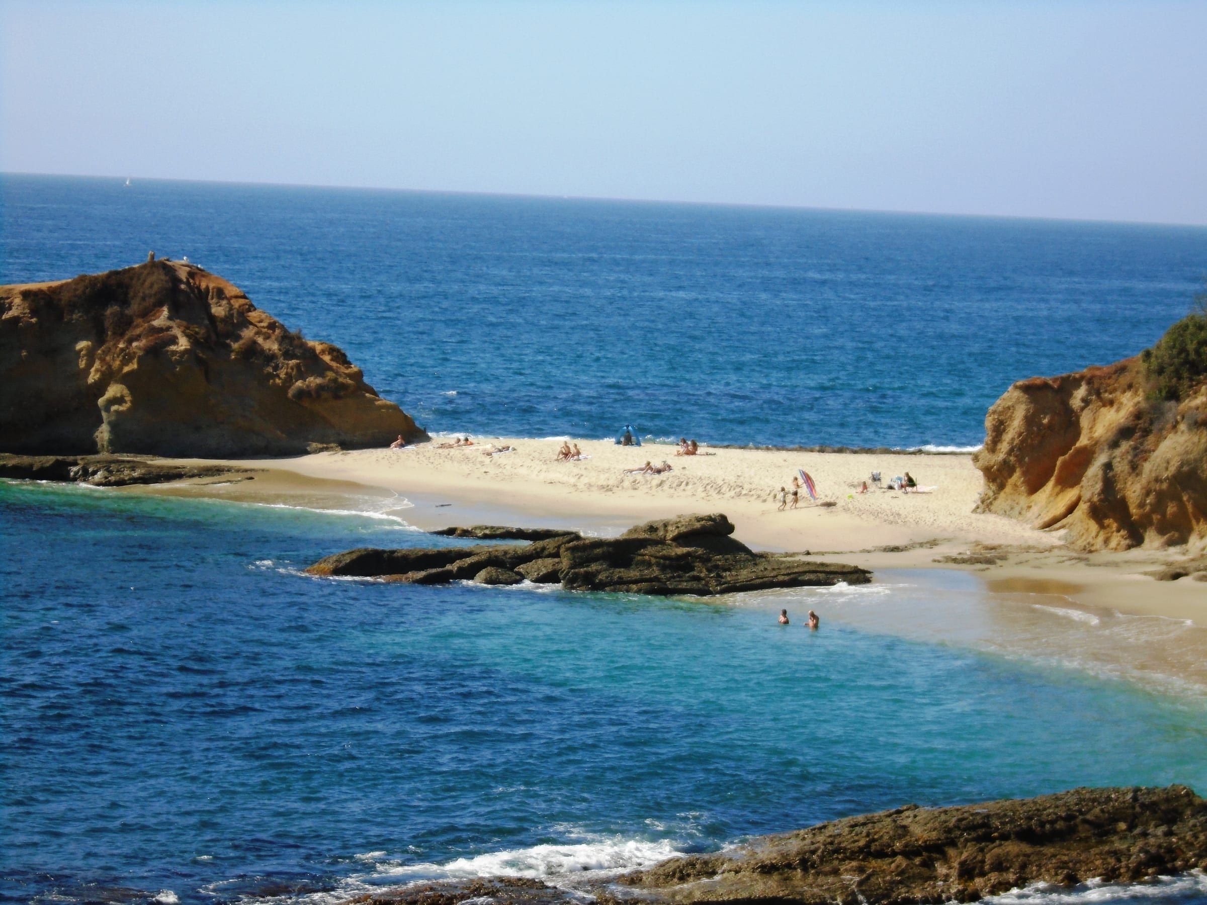
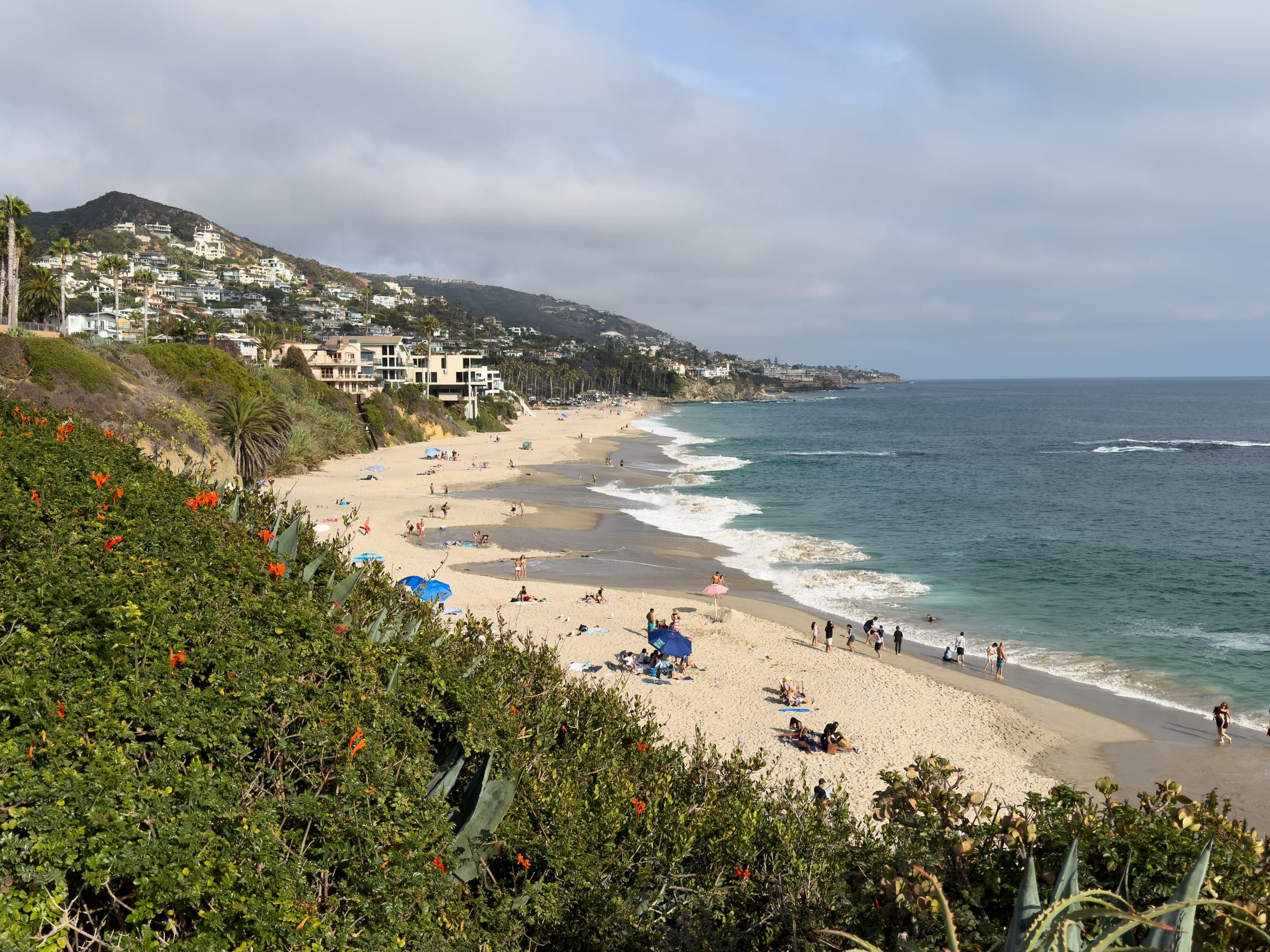
The whole Laguna Beach shoreline sits inside state marine protected areas: a reserve in the north, a no-take conservation area in the middle and a second conservation area at the south end.
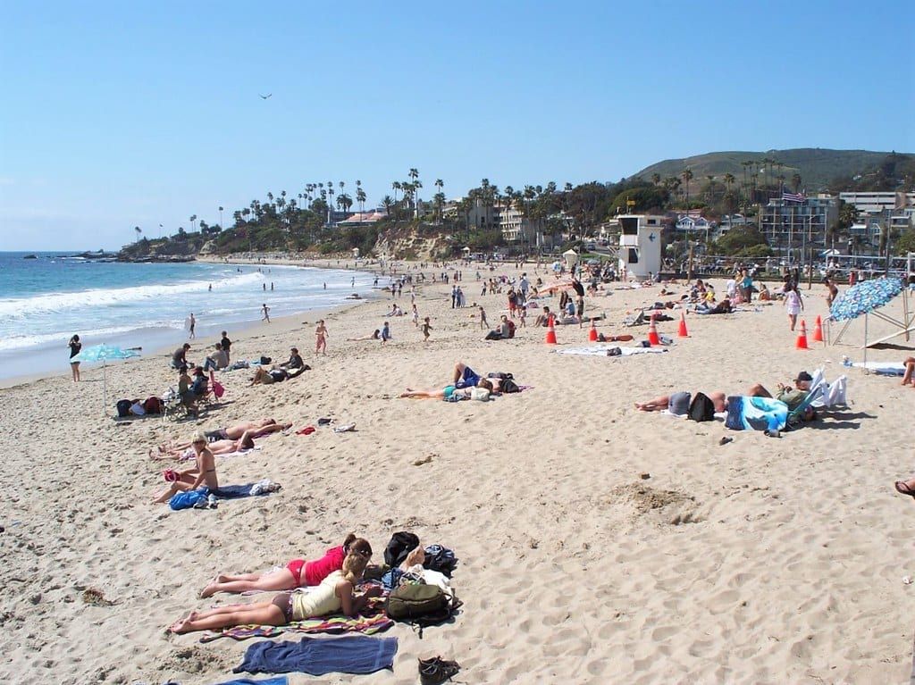
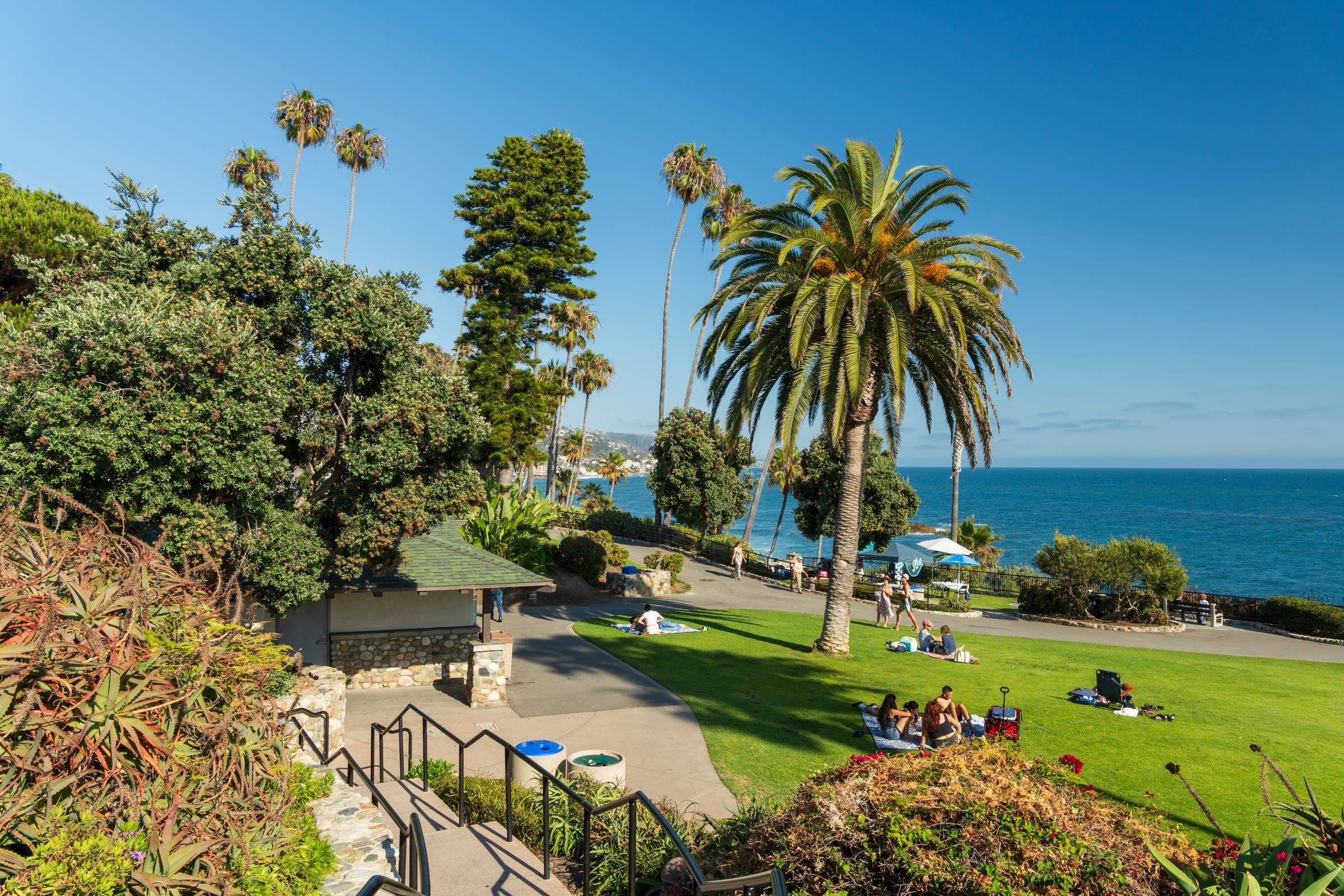
Photo: Beyond My Ken, CC BY-SA 4.0
- Reserve
- Laguna Beach SMR: Abalone Point to Goff Island, about 4.4 miles of shoreline
- No-take area
- Laguna Beach SMCA: Goff Island to Table Rock, about 1.2 miles
- South end
- Dana Point SMCA, about 4.0 miles of shoreline; some fishing allowed
- Still allowed
- Swimming, wading, boating, diving and surfing, unless specifically prohibited
Where to go
Beaches inside the protected areas
-
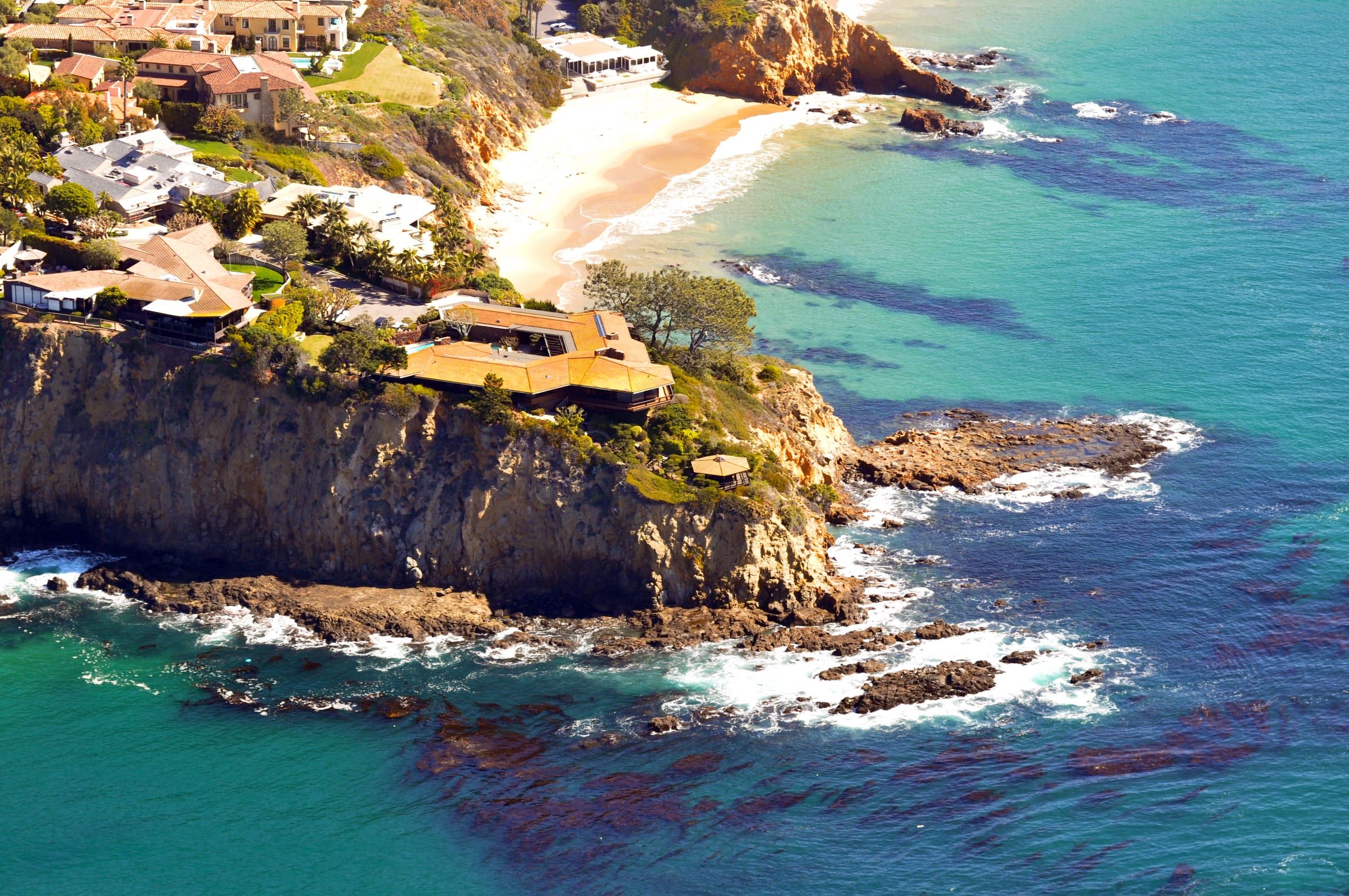
- Private Emerald Bay Beach Private; the reserve shoreline includes this stretch.
-
-
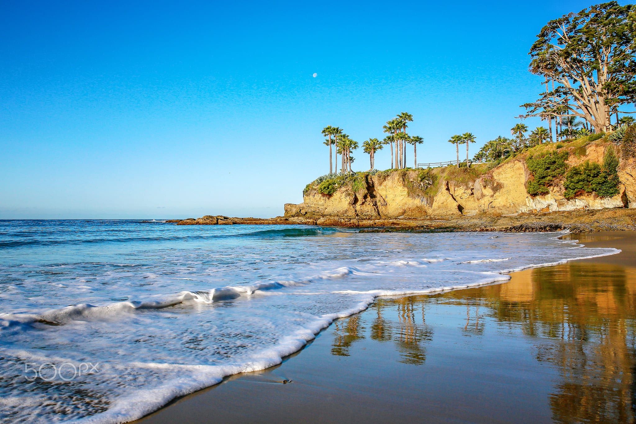
- Fisherman's Cove Beach Reserve; no take of marine resources.
-
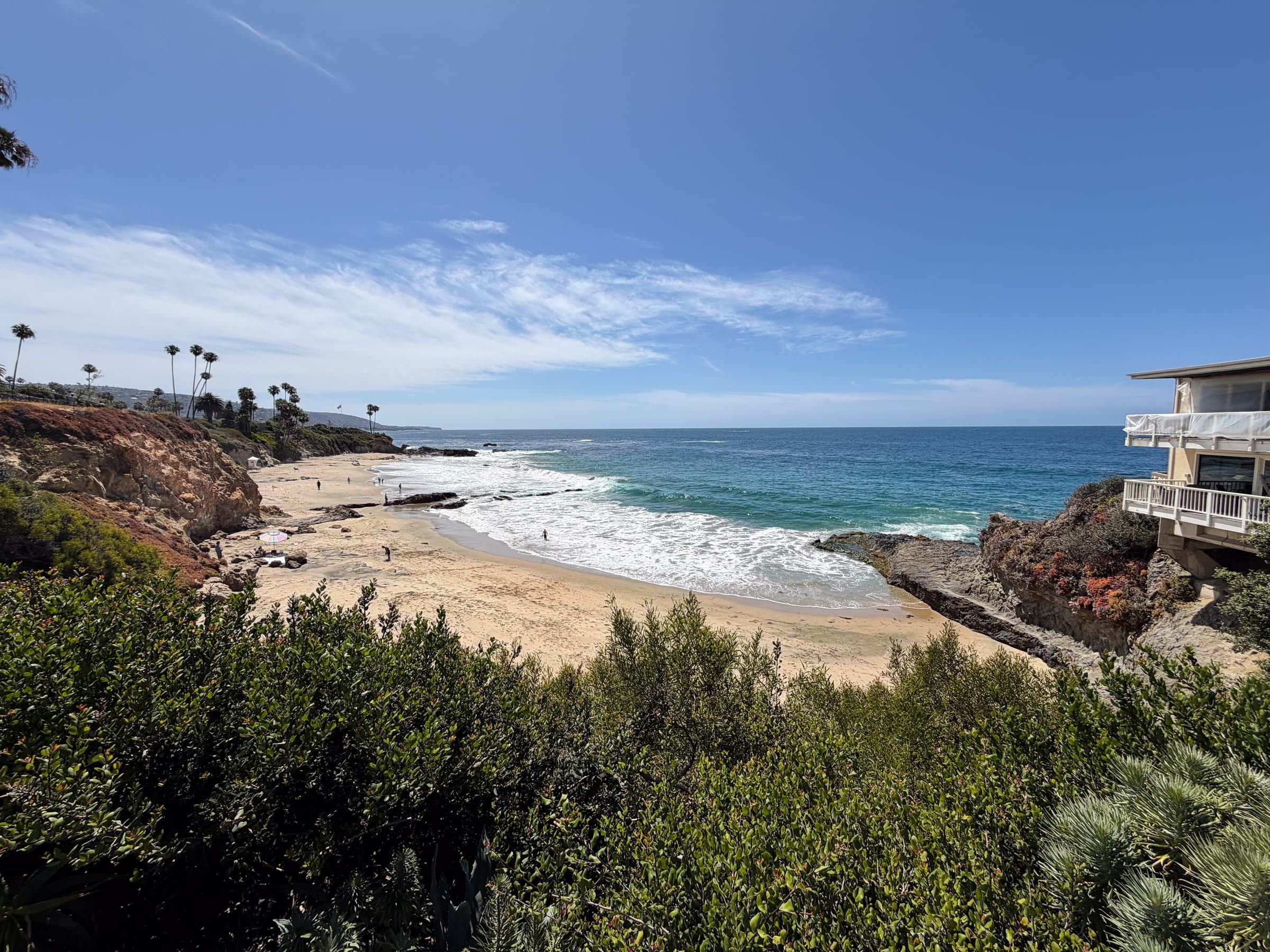
- Tide pools Picnic Beach Reserve; below Heisler Park.
-
-
-
-
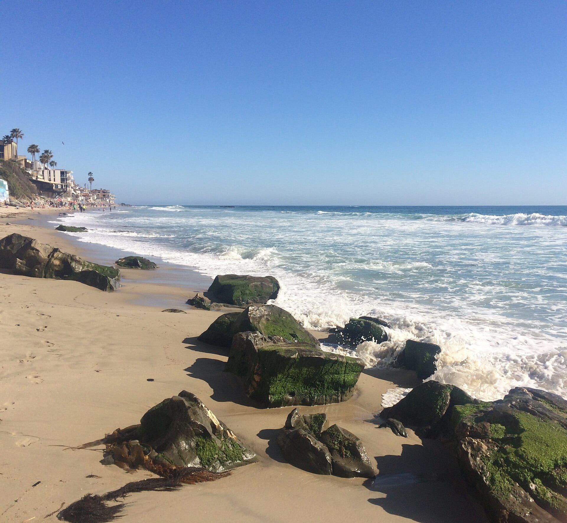
- Tide pools St. Ann's Street Beach Reserve; no take, no fishing.
- Tide pools Thalia Street Beach Reserve; no take, no fishing.
-
-
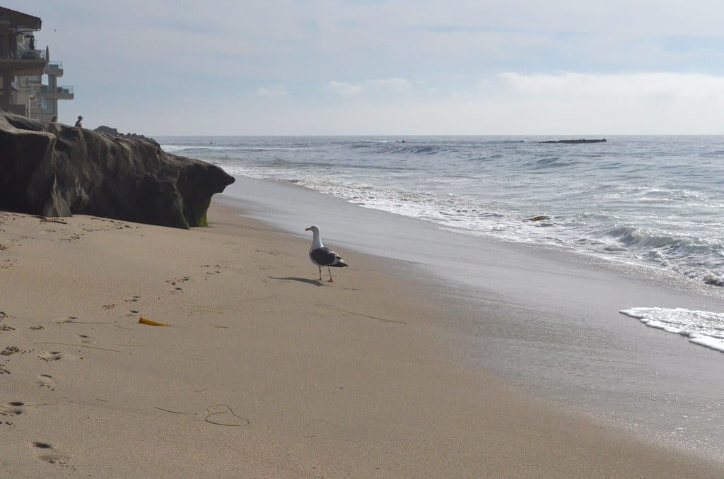
- Brooks Street Beach Reserve; no take, no fishing.
-
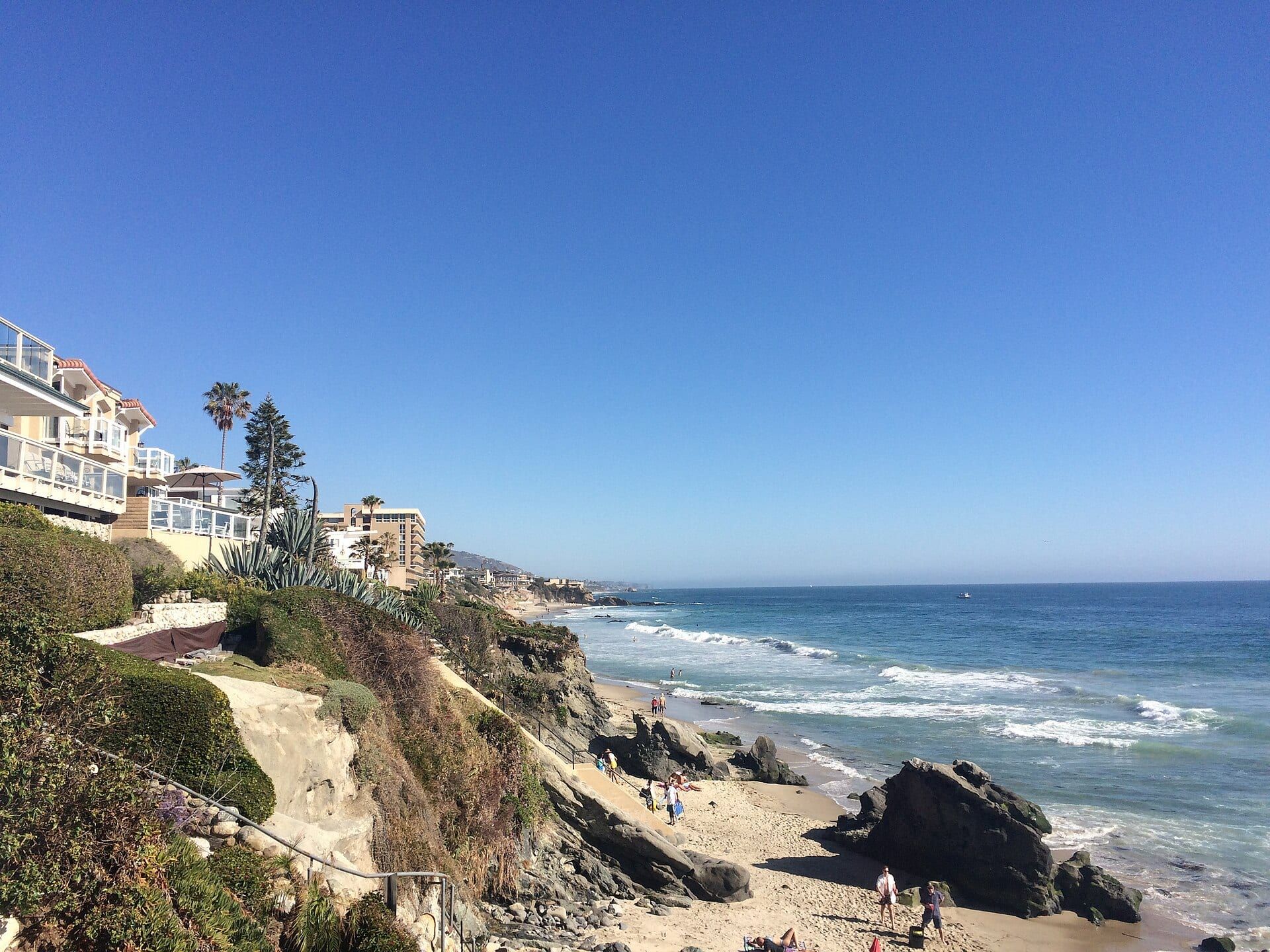
- Mountain Road Beach Reserve; no take, no fishing.
-
-
-
-
- Moss Street Beach Reserve; no take of marine resources.
-
-
-
-
-
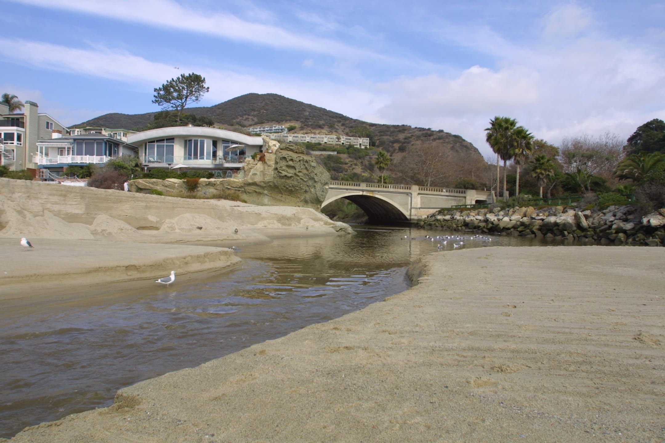
- West Street Beach No-take conservation area.
-
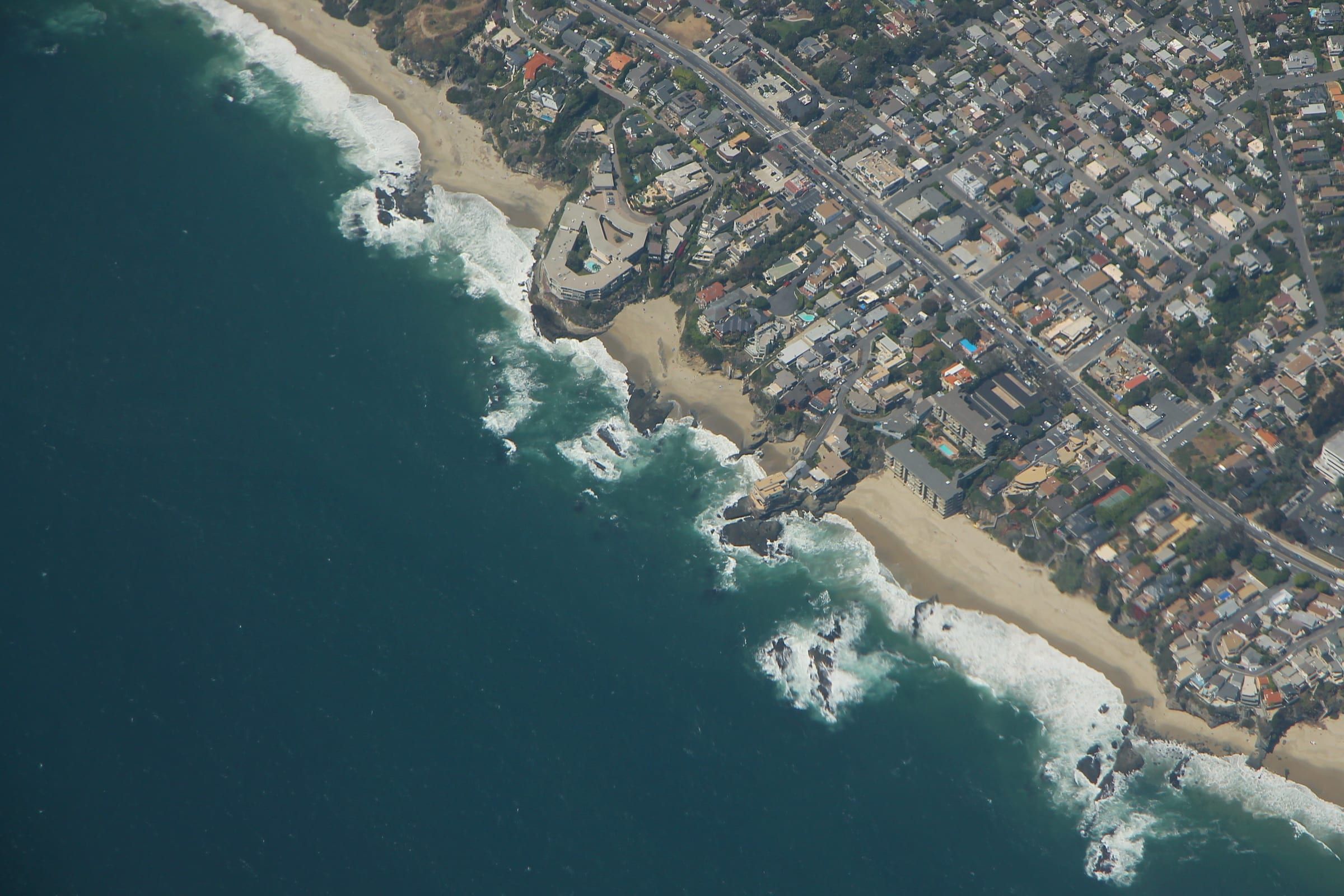
- Totuava Beach Near the line between the no-take area and the Dana Point area; take nothing.
-
-
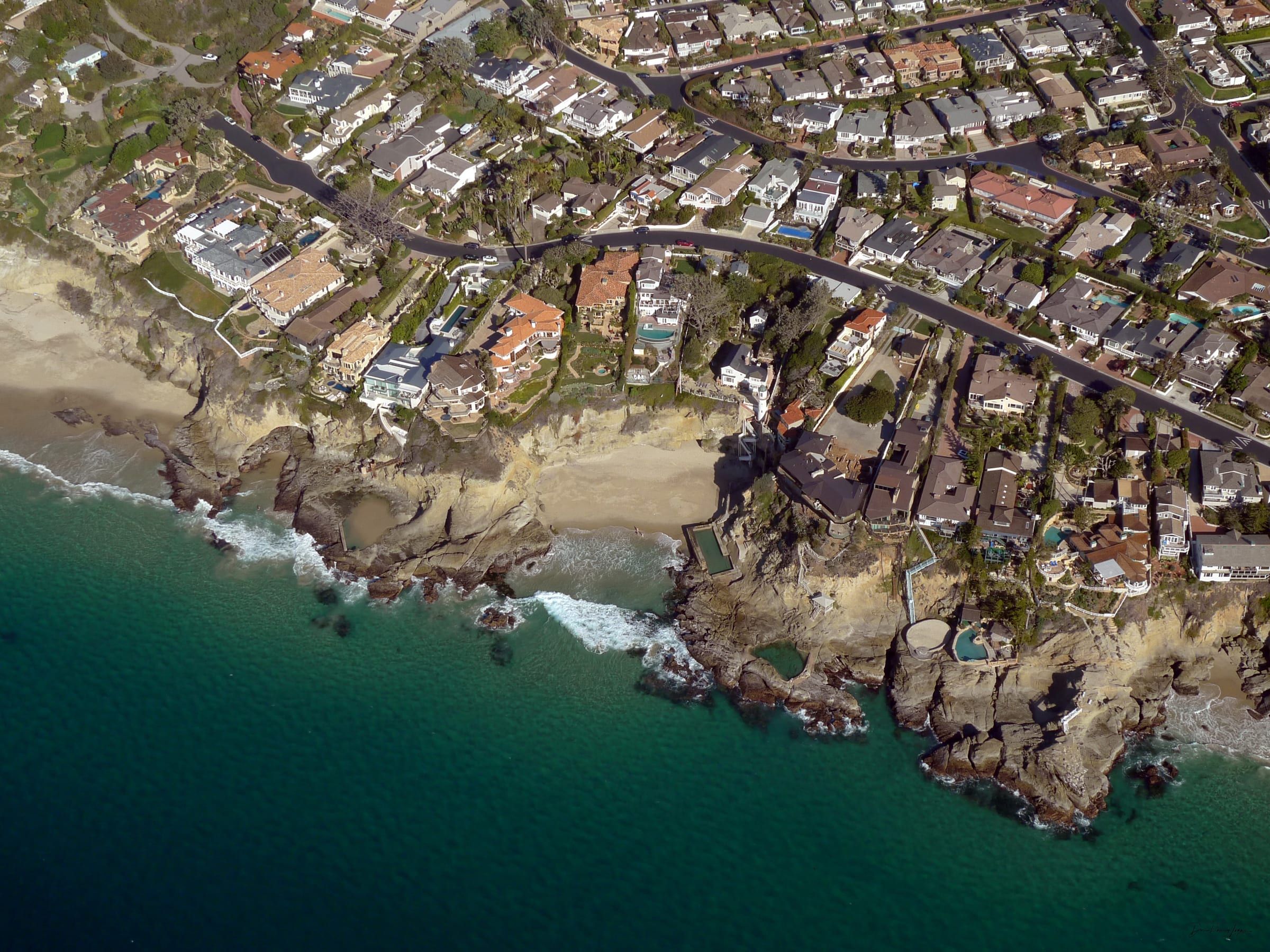
Three areas along one coast
The California Department of Fish and Wildlife (CDFW) says the entire Laguna Beach coastline and the water offshore became state marine protected areas in 2012, and the shoreline now carries three of them. CDFW publishes the boundaries and rules for each.
The Laguna Beach State Marine Reserve covers about 6.72 square miles of water and about 4.4 miles of shoreline. It runs from Abalone Point, the northern limit of the city, south to Goff Island. CDFW lists these beaches among its shoreline: Shaw’s Cove, Boat Canyon, Diver’s Cove, Heisler Park, Main Beach, Bluebird Beach and Woods Cove, and it photographs Crescent Bay as part of the reserve.
The Laguna Beach State Marine Conservation Area covers about 3.09 square miles and about 1.2 miles of shoreline. CDFW labels it no-take. It runs south from Goff Island to Table Rock, so it holds Aliso Beach, West Street and Table Rock.
The Dana Point State Marine Conservation Area begins at the south edge of the no-take area and covers about 4.0 miles of shoreline toward Dana Point. CDFW names Thousand Steps and Three Arch Bay on that stretch. It runs to a depth of about 152 feet.
What the rules say
For the reserve and the no-take conservation area, CDFW prints one sentence of regulation: it is unlawful to injure, damage, take or possess any living, geological or cultural marine resource. The conservation area entry adds that take incidental to certain permitted activities may be allowed and that other restrictions may apply. Fishing, recreational and commercial, is banned in both.
The Dana Point area works differently. Its general rule is the same, with exceptions. Recreational take of finfish by hook-and-line or spearfishing, and of lobster and urchin, is allowed. Commercial take of lobster by trap, sea urchin and coastal pelagic species is allowed. Take of living marine resources from tide pools is prohibited throughout the area.
The rule covers possessing a resource as well as taking it. The city’s beach pages say taking or collecting rocks, shells or marine life is prohibited, and its Good Tide Pooler Rules say to remove nothing, touch no animals and turn over no rocks. See tide pools for the tide table and rock safety.
What you can still do
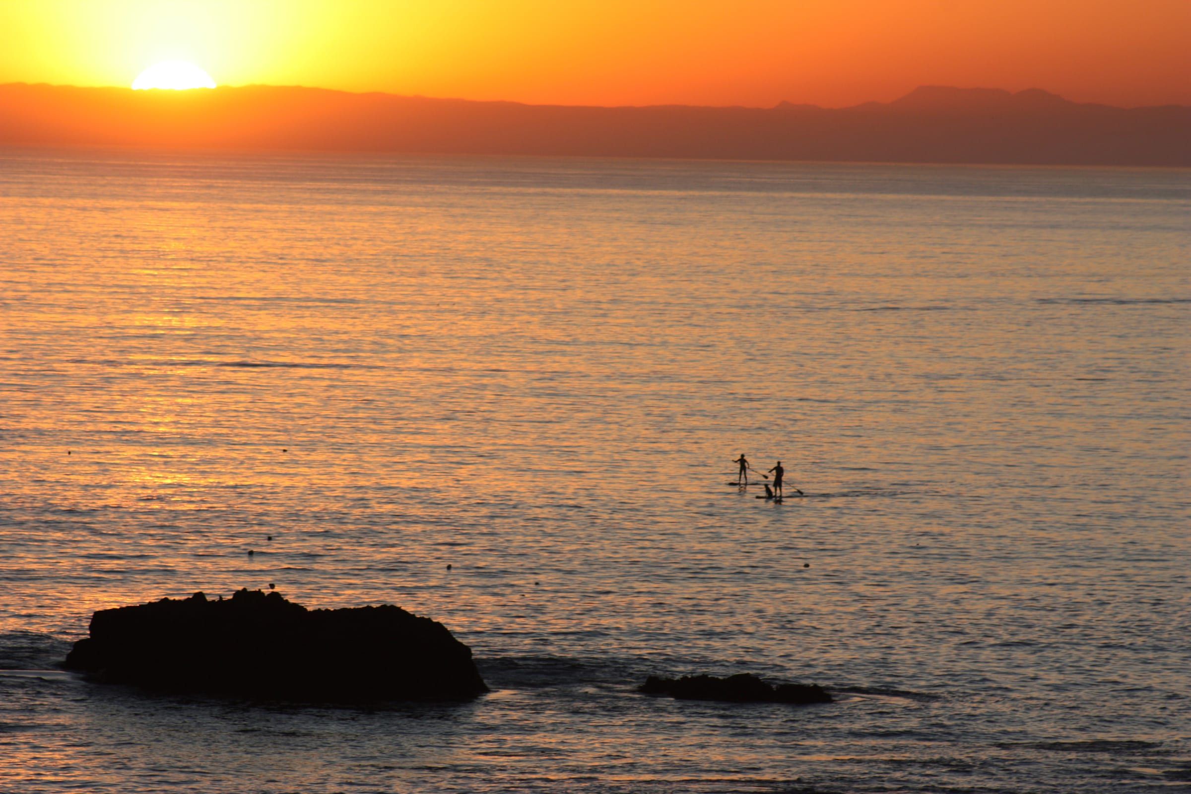
Protection does not close the water. CDFW says that unless a rule specifically prohibits it, non-extractive uses such as swimming, wading, boating, diving and surfing are allowed. Its Laguna Beach page lists surfing, paddle boarding, kayaking, whale watching, snorkeling, scuba diving and freediving as popular in the area, and its Dana Point page lists kayaking, whale watching, diving and fishing.
Other rules still apply on top. The city says fishing is not allowed at the beaches it lists in the reserve, closes some rocks in high tides or surf, keeps Bird Rock off limits to people, and says swimmers and kayakers may not go onto Seal Rock off Crescent Bay. See snorkeling and diving and kayaking and paddleboarding for those activities.
What lives here
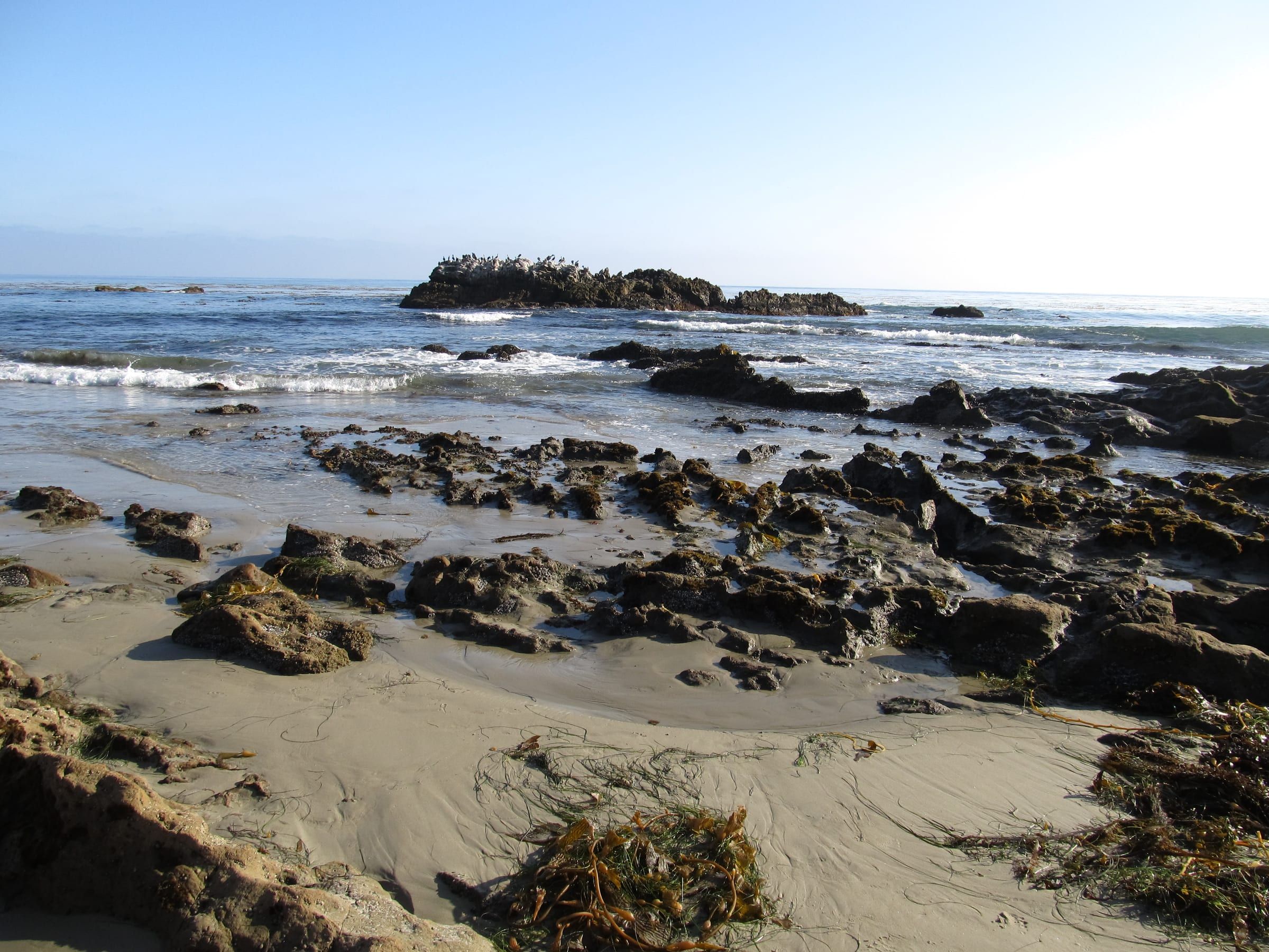
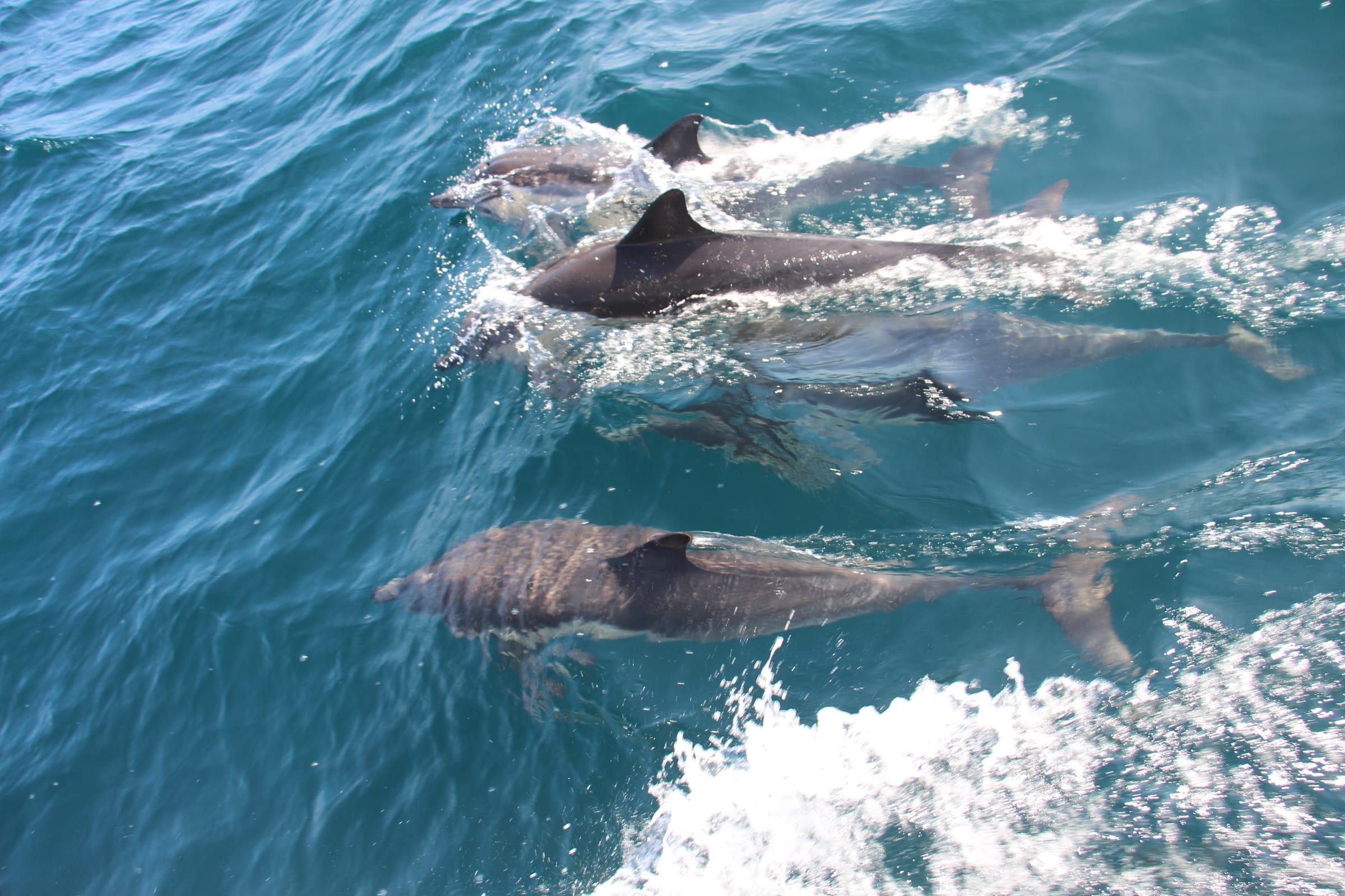
CDFW describes rocky reefs, shallow kelp-filled water, surfgrass meadows, sandy seafloor, coves and tide pools in the Laguna Beach areas. It lists California spiny lobster, turban snails, rock scallops, blacksmith, leopard sharks, horn sharks, California sheephead and cabezon in the kelp and reef zone. Tide pools hold Kellet’s whelks, top snails, limpets, anemones and small fishes. Sea lions, harbor seals and migrating whales pass through.
In the Dana Point area, CDFW adds giant sea bass, garibaldi, halibut and sole, and says gray whales pass through from December through April.
Reading the lines
Goff Island is the line to remember. It sits off Goff Cove and Treasure Island, and it divides the reserve from the no-take area. Table Rock, at the end of Table Rock Drive in South Laguna, is where the no-take area ends. The beaches in this list are in the order you meet them driving south along the coast. Before you fish or dive near a line, check CDFW’s interactive MPA map and the signs at the beach. For the beach you plan to visit, the beach page carries the same rule next to parking and stairs.
Keep exploring
Related pages
-
-
-
-
-
-
-
-


Questions
What is the difference between a marine reserve and a conservation area in Laguna Beach?
CDFW says state marine reserves generally allow no extraction, while state marine conservation areas restrict some kinds of take. In Laguna Beach, the reserve and the northern conservation area both bar taking any living, geological or cultural marine resource, and the Dana Point conservation area allows some fishing.
Can you swim, surf or dive in the Laguna Beach marine reserve?
Yes. CDFW says non-extractive uses such as swimming, wading, boating, diving and surfing are allowed in marine protected areas unless specifically prohibited. Taking anything from the water or the rocks is not allowed.
Where does the Laguna Beach reserve start and end?
CDFW says the reserve runs from Abalone Point, the northern city limit, south to Goff Island. The no-take conservation area continues from Goff Island to Table Rock, and the Dana Point conservation area begins there.
Can you fish anywhere in Laguna Beach?
Not in the reserve or the no-take conservation area, where CDFW bars recreational and commercial fishing. The Dana Point conservation area at the south end allows recreational hook-and-line finfish, spearfishing, lobster and urchin, but not take from tide pools.
Thinking of moving here?
Get the printable moving checklist by email: before you move, moving week and your first 30 days.
Last reviewed
Sources (12)
- Laguna Beach SMR and SMCA: size, shoreline length, boundary coordinates, Abalone Point to Goff Island to Table Rock, regulation text (Title 14 section 632(b)(134) and (135)), habitats, species, named beaches, popular activities, designated in 2012: wildlife.ca.gov, checked 2026-10-27
- Dana Point SMCA: boundary, about 4.0 miles of shoreline, abuts the Laguna Beach SMCA, take allowed and prohibited, tide pool take prohibited (Title 14 section 632(b)(136)), Thousand Steps and Three Arch Bay named, popular activities: wildlife.ca.gov, checked 2026-10-27
- Unless specifically prohibited, non-extractive uses such as swimming, wading, boating, diving and surfing are allowed; SMRs do not allow any extractive activity; SMCAs restrict some types of extraction; MPA interactive web map for regulations: wildlife.ca.gov, checked 2026-10-27
- The coast is part of the California Marine Protected Area network; Good Tide Pooler Rules: lagunabeachcity.net, checked 2026-10-27
- City beach pages (Crescent Bay, Shaws Cove, Rockpile, Main Beach, Oak Street, Pearl Street and others): the taking or collecting of rocks, shells or marine life is prohibited; fishing is not allowed at this beach; Rockpile page: Bird Rock is off limits to people: lagunabeachcity.net, checked 2026-10-27
- Divers Cove page: under high tides or surf conditions the rocks and point are closed: lagunabeachcity.net, checked 2026-10-27
- Shaws Cove page: taking or collecting rocks, shells or marine life is prohibited; fishing not allowed: lagunabeachcity.net, checked 2026-10-27
- Oak Street page: fishing is not allowed at this beach: lagunabeachcity.net, checked 2026-10-27
- Pearl Street page: fishing is not allowed at this beach: lagunabeachcity.net, checked 2026-10-27
- Laguna Beach SMR and SMCA boundary latitudes (33 deg 30.713 min N at Goff Island; 33 deg 30.050 min N at Table Rock) compared with the beach pages' coordinates to place each beach and order the list north to south: wildlife.ca.gov, checked 2026-10-27
- Crescent Bay page: swimmers and kayakers not allowed on Seal Rock, about 120 yards off the north point; fishing not allowed; taking or collecting prohibited: lagunabeachcity.net, checked 2026-10-27
- Dive shop site list includes a Cleo Street Barge dive site: beachcitiesscuba.com, checked 2026-10-27