Outdoors · Small coves
Hidden coves in Laguna Beach
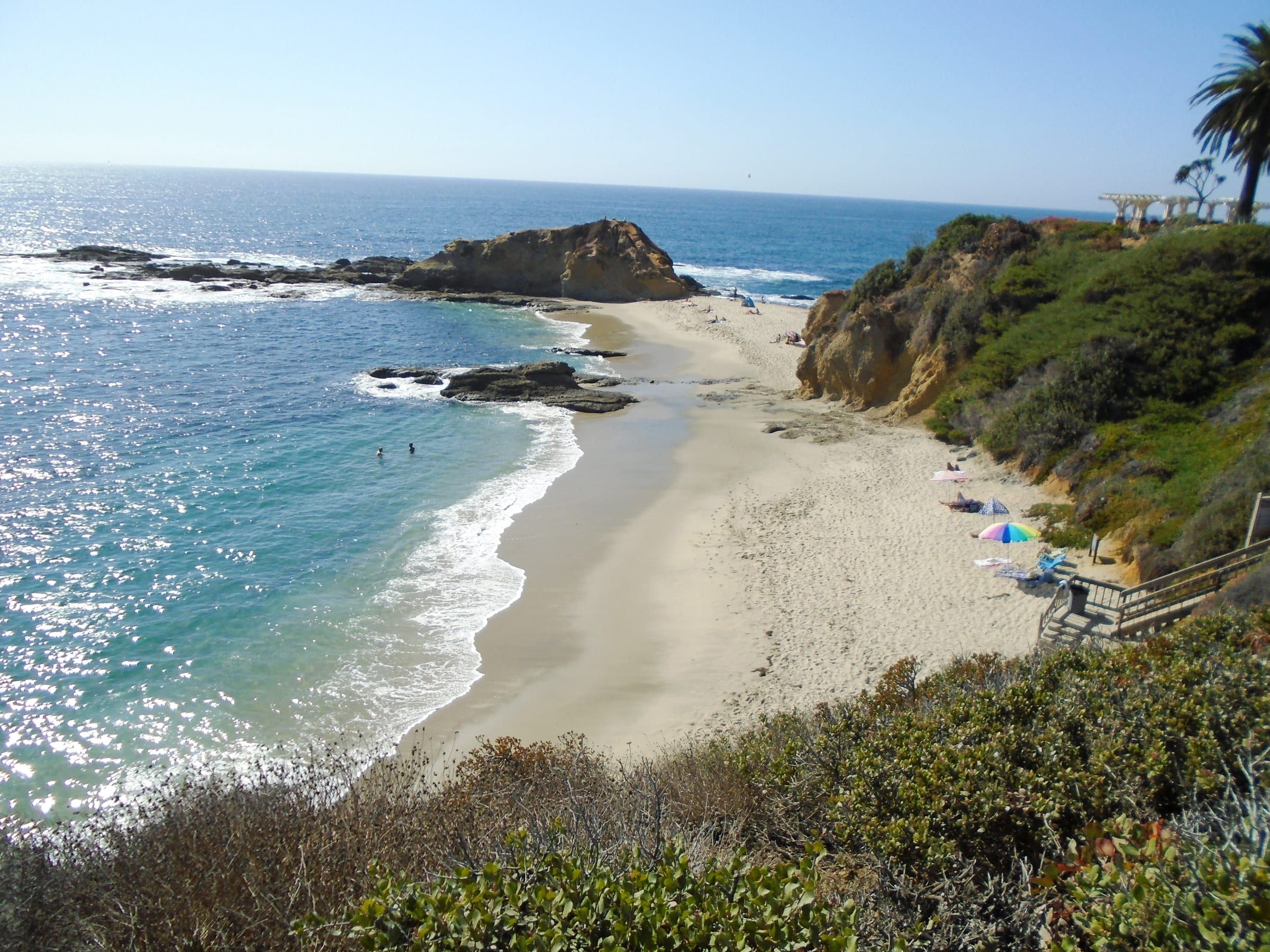
Small coves line much of the Laguna Beach coast. This page covers ten public ones reached by stairs or a ramp: how you reach each one, what the tide does, and the marine protected area rules that apply on all ten.
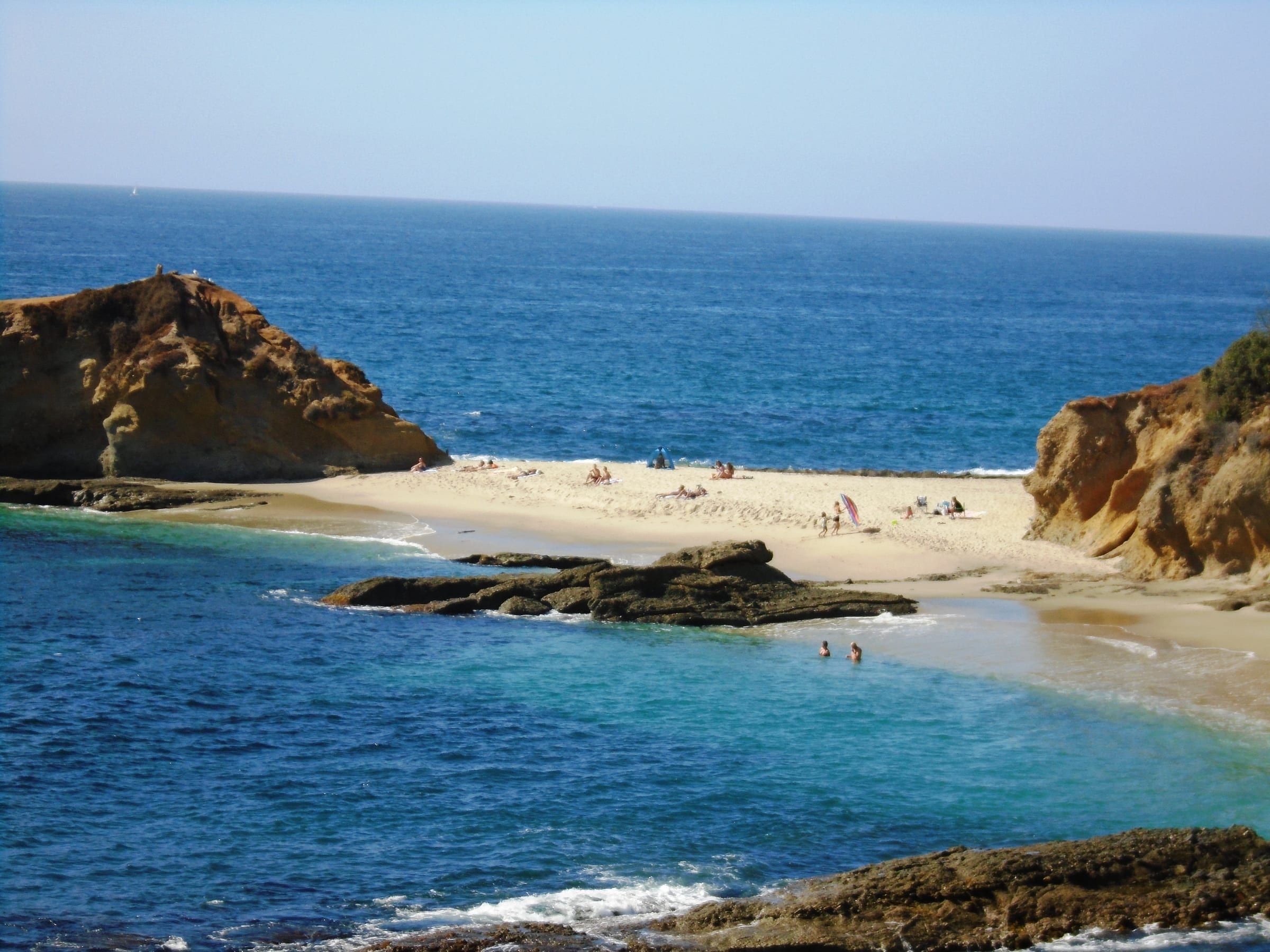
Photo: Beyond My Ken, CC BY-SA 4.0
- Coves here
- 10, from Shaw's Cove in North Laguna to Table Rock in South Laguna
- Access
- Stairs at nine; a ramp at Christmas Cove
- Marine protected areas
- Reserve north of Goff Island; no-take conservation area from Goff Island to Table Rock
- Beach hours
- City: north of Aliso Creek, closed 1 a.m. to 5 a.m.; south of it, 10 p.m. to 6 a.m.
- Marine Safety
- (949) 497-0310, listed on the city's beach pages
Where to go
Ten small coves, north to south
-
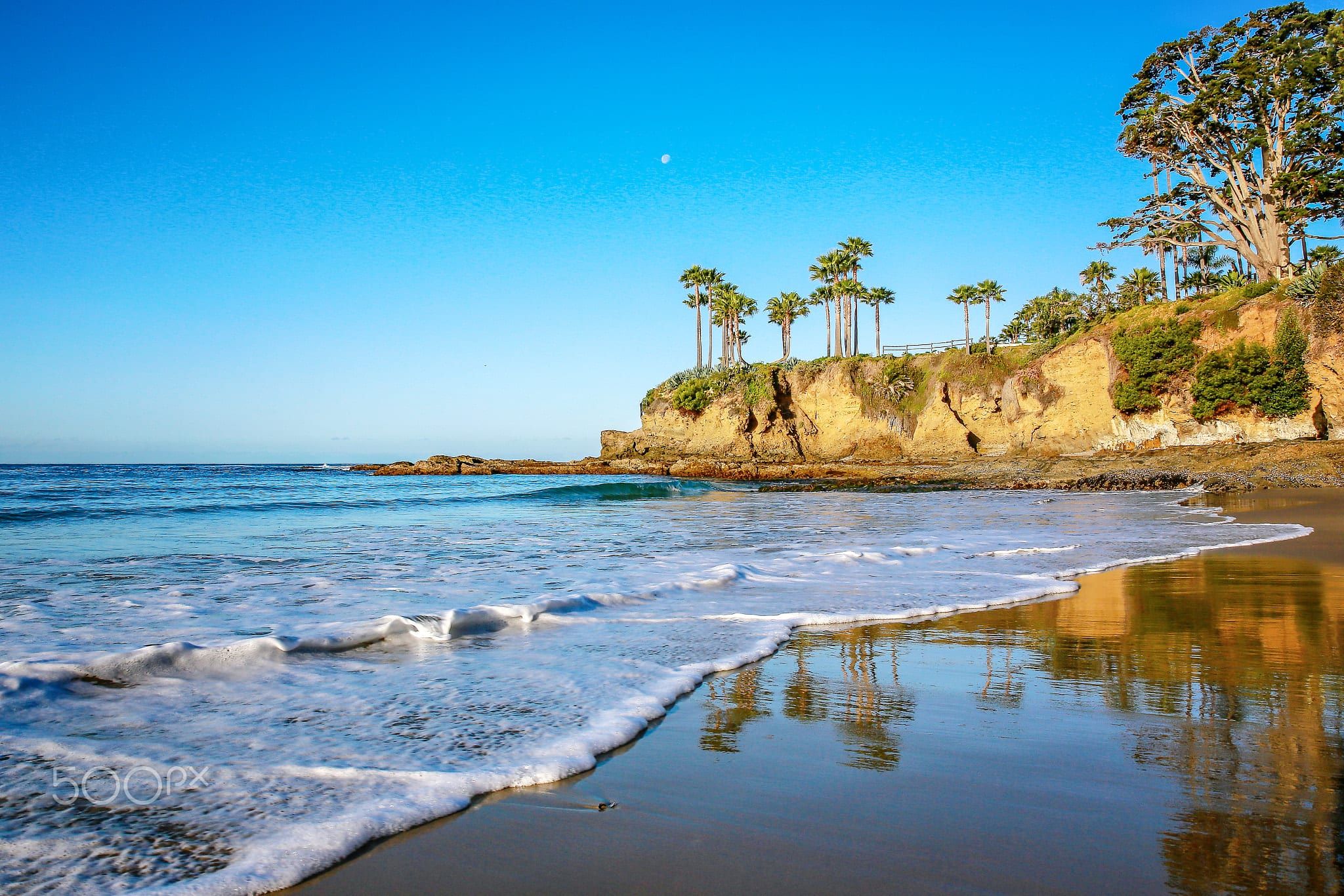
- Fisherman's Cove Beach Stairs from the 600 block of Cliff Drive; the city says the beach washes out at moderate high tides.
-
-
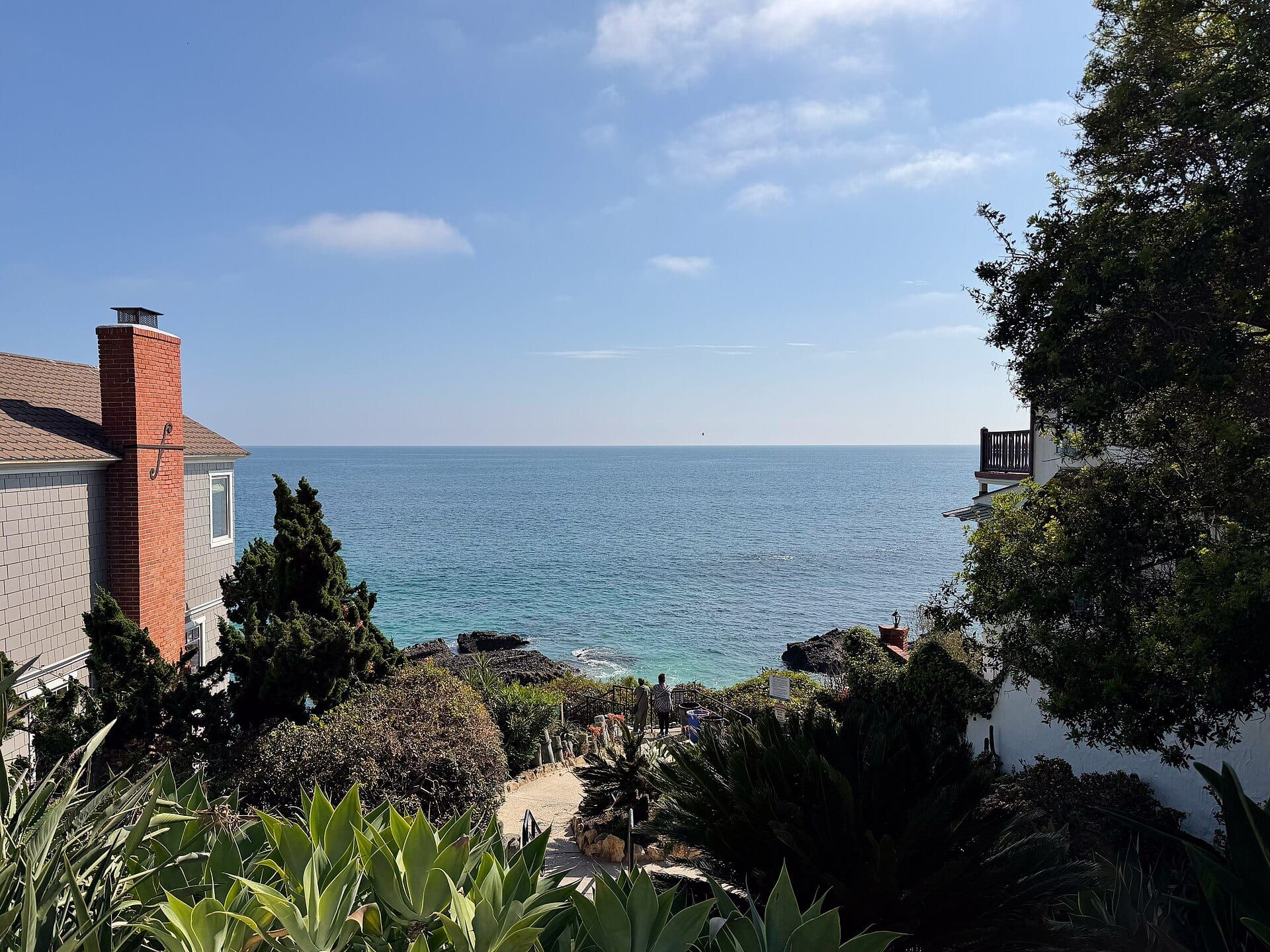
- Moss Street Beach Stairs at the west end of Moss Street, off Coast Highway; on-street parking and no restrooms listed.
-
-
-
- West Street Beach Stairs at the far end of West Street in South Laguna; no restrooms listed at the stairs.
-
What this list covers
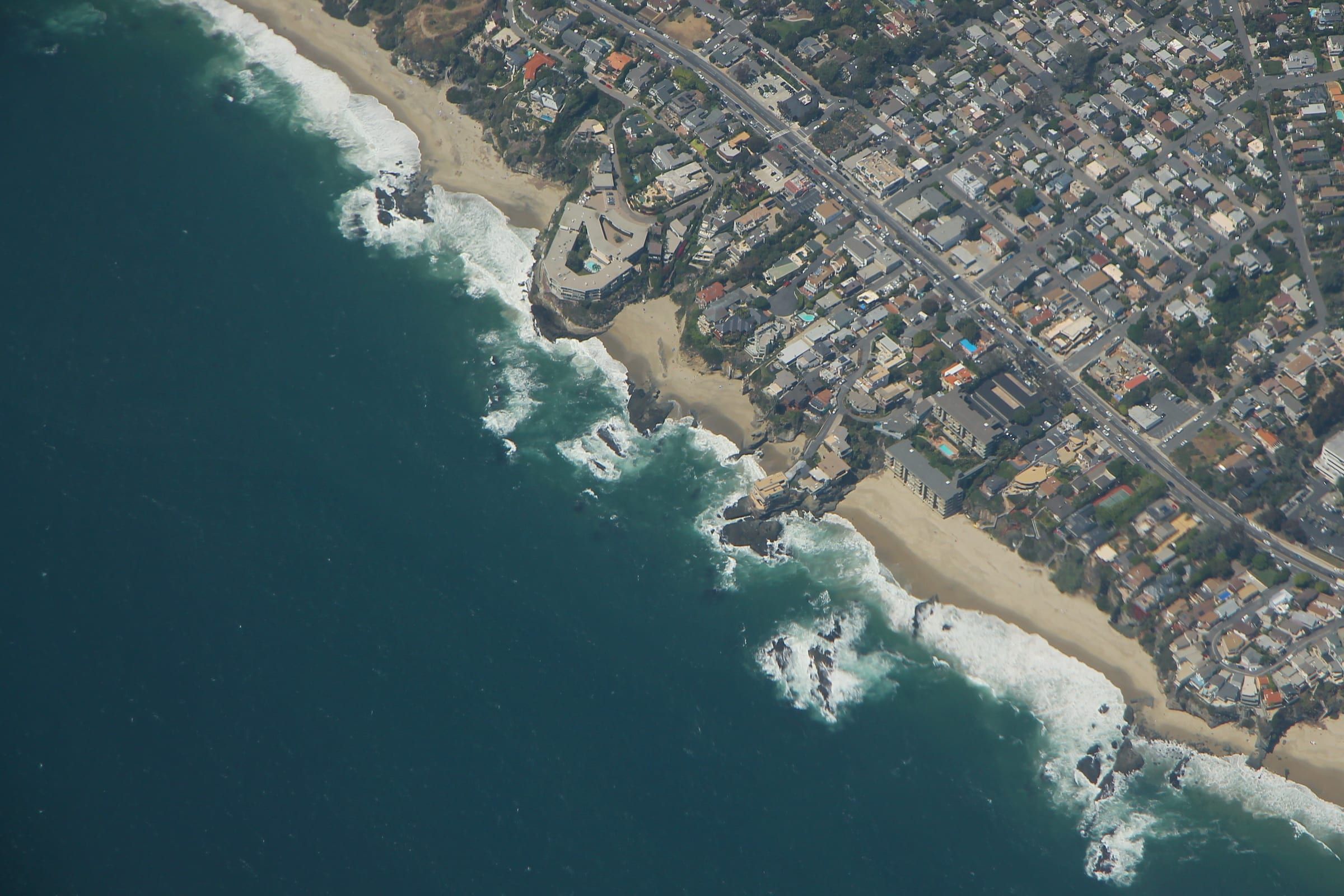
The ten coves below are small beaches with stairs or a ramp, and each has its own page on this site. The page title says hidden because that is how people search for them. They are not secret and they are not empty: the city says Woods Cove can become very crowded on summer weekends. What they share is a way down by stairs or a ramp and, at seven of the ten, no restrooms listed at the access.
The list runs north to south and picks small, public coves reached by stairs or a ramp. Larger beaches such as Main Beach and Crescent Bay have their own pages.
The coves
North Laguna
Shaw’s Cove is a pocket beach about 500 feet long at the base of Fairview Street. Stairs lead down from Cliff Drive. The city says skimboarding is not allowed, the surf is often a mild shore break, and under high surf the point to the north is especially dangerous for people walking to and from Crescent Bay.
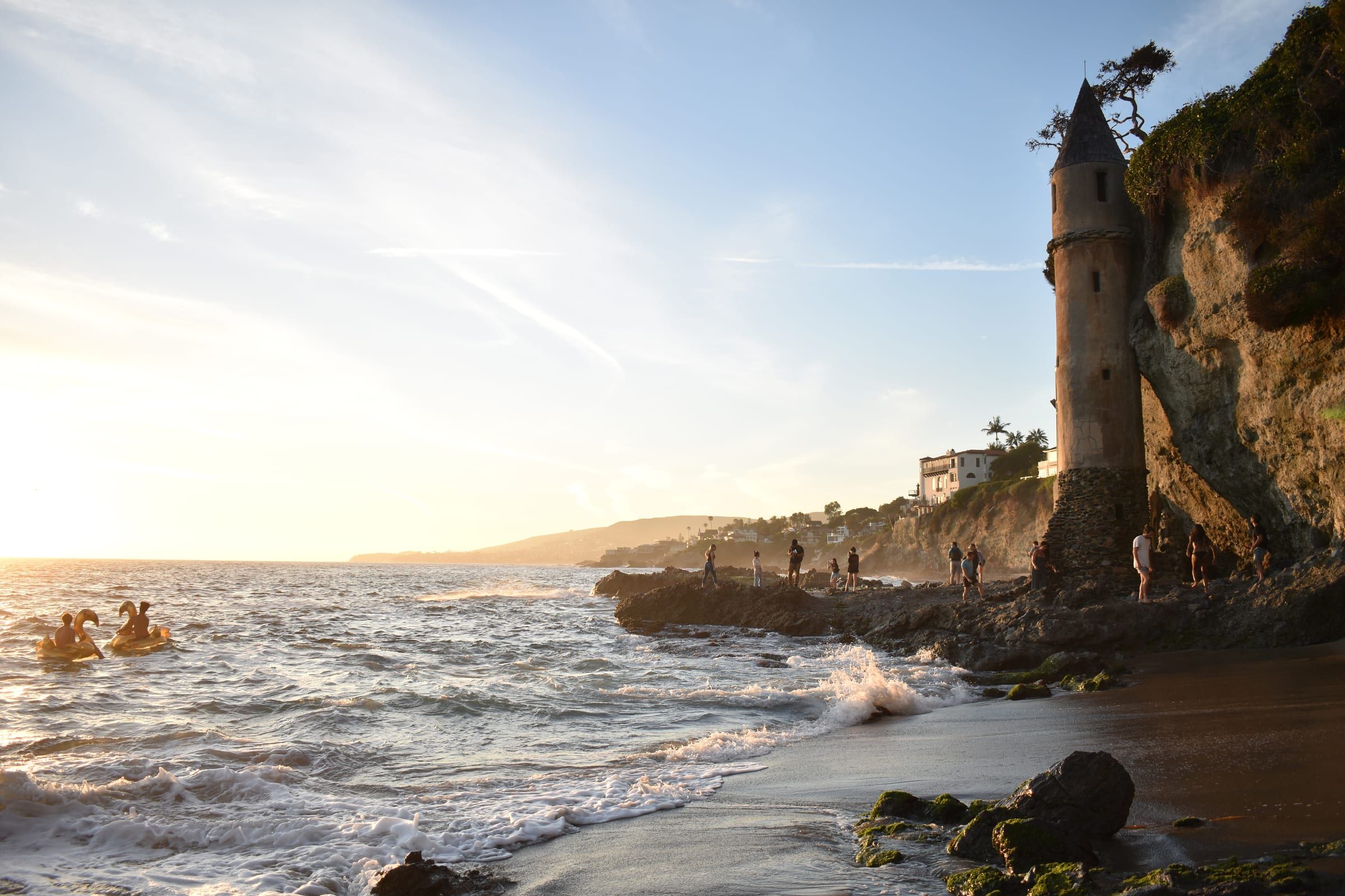
Fisherman’s Cove, which the city lists as Boat Canyon Beach, is about 400 feet long. Its stairs start in the 600 block of Cliff Drive. The city says the beach washes out at moderate high tides and that the rock areas to the north are very dangerous under swell.
Divers Cove is 300 feet long, with stairs 20 yards south of the Fisherman’s Cove stairs. The city says the beach is steep, has a shore break under all conditions, and that the rocks and north point are closed under high tides or surf. Restrooms and outdoor showers are here, which Fisherman’s Cove lacks.
Woods Cove to Victoria Beach
Woods Cove has stairs at the end of Diamond Street and a second stairway one block north off Ocean Way. The city lists exploring the tide pools at low tide as a popular activity, asks you to check with a lifeguard before exploring the northern rocks, and says there is no diving or jumping off any of the rocks.
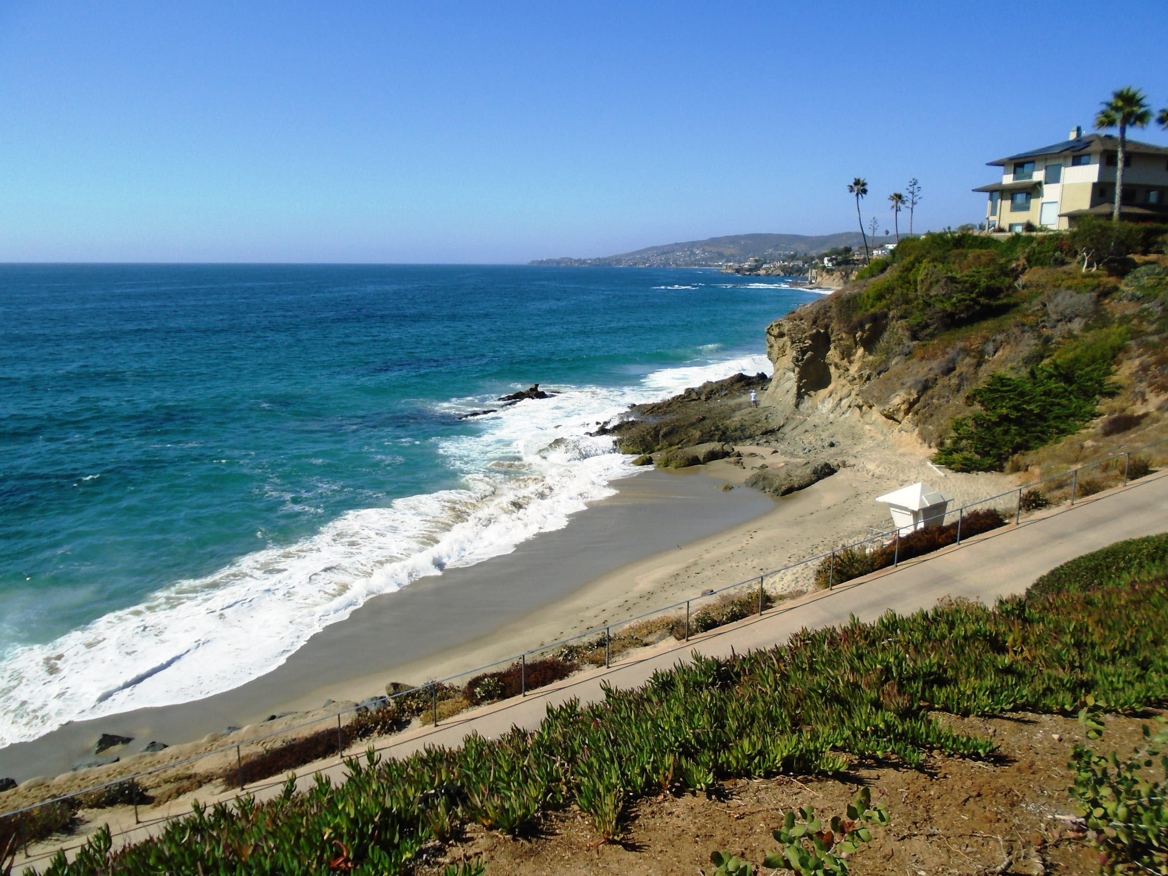
Moss Street Beach, listed by the Coastal Commission as Moss Point, has stairs at the west end of Moss Street. The Coastal Commission lists on-street parking and no restrooms.
Victoria Beach has two sets of stairs, one from Victoria Drive near Sunset Terrace and one from Dumond Drive. The California Coastal Trail’s guide says the Sunset Terrace stairs between houses may need a close look to spot, and that the shoreline route toward Goff Island is impassable at high tide.
Below the Montage
Christmas Cove sits at the north end of the Treasure Island Park bluff walkway, reached by a ramp. Goff Cove comes next to the south, reached by stairs from the walkway. A visitor guide calls Goff a long walk from the trolley stop and parking, and says the beach can be limited at high tide when the crowd is large. Guides place the stairs in slightly different spots, so follow the signs.
South Laguna
West Street Beach has stairs at the far end of West Street, and Table Rock Beach has a stairway at the end of Table Rock Drive. Neither lists restrooms at the stairs.
Getting down and parking
Parking at most of these coves is on the street. Christmas and Goff coves use the paid city lots beside the Montage, and the Coastal Commission lists a parking structure with a fee at Wesley Drive. The parking guide covers permits and lots, and getting around covers the trolley. Most of these coves list no restrooms or showers, so plan for that before you go down. Divers Cove lists both, and a visitor guide places public restrooms on the bluff path near the Montage.
Tides and surf
Check a tide table before you go. The city’s beach pages list the Department of Marine Safety at (949) 497-0310, and its Woods Cove page asks you to check with a lifeguard before exploring the northern rocks. Several coves change with the tide:
- Fisherman’s Cove washes out at moderate high tides, says the city.
- At Victoria Beach the shoreline route toward Goff Island is impassable at high tide.
- At Goff Cove, a visitor guide says little beach is left at high tide on a busy day.
- At Divers Cove the city closes the rocks and north point under high tides or surf.
See the tide pools page for when the pools show.
Marine reserve rules
All ten coves are inside state marine protected areas. The Laguna Beach State Marine Reserve runs from Abalone Point to Goff Island, and the no-take Laguna Beach State Marine Conservation Area runs from Goff Island south to Table Rock. In both it is unlawful to injure, damage, take or possess any living, geological or cultural marine resource, and fishing is not allowed. That means no shells, no rocks and no animals from the pools. California Fish and Wildlife lists surfing, paddle boarding, kayaking, snorkeling, scuba diving and freediving among the popular activities. The marine reserves page has the full rules.
A short way south of Table Rock the rules change. The Dana Point State Marine Conservation Area allows some recreational fishing, but it prohibits take of living marine resources from tide pools. A neighboring cove can sit in a different protected area, so read the signs as you move along the coast.
Dogs and hours
The city code requires a leash no longer than 6 feet on public property. From June 15 to September 10 leashed dogs may be on the beach only before 9 a.m. and after 6 p.m.; the rest of the year the city allows them at any time of day. The Coastal Commission has no dog information for several of these coves, so read the signs at the top of the stairs. The city says beaches north of Aliso Creek close between 1 a.m. and 5 a.m., and beaches south of it between 10 p.m. and 6 a.m.
Private beaches and a cove without access
Three beaches with their own pages on this site are private, and land access is for residents and their guests: Emerald Bay, Irvine Cove and Three Arch Bay. The Coastal Commission’s access list has no public entry for Emerald Bay or Irvine Cove, and a 2002 staff report describes Irvine Cove as a private, locked-gate community and says it is one of five such communities in the city whose coastal program certification was deferred over public access. Totuava has no public access point of its own, and the Totuava page explains the tide risk on the route used to reach it.
Live from NOAA
Tides and water today
| Day | High and low tides |
|---|---|
| Loading NOAA predictions… | |
Sources: NOAA tide predictions, station 9410580 and NOAA NDBC buoy 46253 (owned by Scripps). The buoy reads open water offshore; water at the beach can differ. Check posted lifeguard flags before you swim.
Keep exploring
Related pages
-
-
-
-
-
-
-
-


Questions
Which Laguna Beach coves have stairs?
Shaw's, Fisherman's, Divers, Woods, Victoria, Goff, West Street, Table Rock and Moss Street all have stairs, according to the Coastal Commission and the visitor guides this page cites. Christmas Cove has a ramp at the north end of the Treasure Island Park bluff walkway.
Can you take shells or tide pool animals from these coves?
No. Every cove here lies in a state marine protected area, where it is unlawful to injure, damage, take or possess any living, geological or cultural marine resource, and fishing is not allowed.
Can the public reach Emerald Bay, Irvine Cove and Three Arch Bay beaches by land?
No. Land access to all three is for residents and their guests, as each beach page on this site sets out. The Coastal Commission's access list has no public entry for Emerald Bay or Irvine Cove.
When do Laguna Beach coves close?
Beaches north of Aliso Creek close between 1 a.m. and 5 a.m. South of Aliso Creek they close between 10 p.m. and 6 a.m., according to the city's Marine Safety Department.
Thinking of moving here?
Get the printable moving checklist by email: before you move, moving week and your first 30 days.
Last reviewed
Sources (12)
- California Fish and Wildlife, Laguna Beach MPAs: State Marine Reserve from Abalone Point to Goff Island (about 4.4 miles of shoreline); State Marine Conservation Area (no-take) from Goff Island south to Table Rock (about 1.2 miles); it is unlawful to injure, damage, take or possess any living, geological or cultural marine resource; recreational and commercial fishing are not allowed in either; names Shaw's Cove Beach, Boat Canyon Beach, Diver's Cove Beach, Heisler Park, Main Beach, Bluebird Beach and Woods Cove Beach on the reserve coastline, and captions a photo West St. Beach, Laguna Beach SMCA; lists surfing, paddle boarding, kayaking, whale watching, snorkeling, scuba diving and freediving as popular: wildlife.ca.gov, checked 2026-10-28
- California Fish and Wildlife, Dana Point MPA: the Dana Point State Marine Conservation Area begins at the southern edge of the Laguna Beach conservation area and allows recreational take of finfish by hook-and-line or spearfishing and lobster and urchin, but prohibits take of living marine resources from tidepools: wildlife.ca.gov, checked 2026-10-28
- City of Laguna Beach Marine Safety, Visiting Our Beaches (Internet Archive capture of July 12, 2026): beaches north of Aliso Creek close between 1:00 a.m. and 5:00 a.m.; beaches south of Aliso Creek close between 10:00 p.m. and 6:00 a.m., except Thousand Steps Beach, 9:00 p.m. to 6:00 a.m.; from June 15 to September 10 leashed dogs are allowed on the beach before 9:00 a.m. and after 6:00 p.m., and at any time of day the rest of the year: lagunabeachcity.net, checked 2026-10-28
- Laguna Beach Municipal Code 6.16.010: a dog on any street or other public property must be restrained by a substantial chain or leash not exceeding six feet in length (read in the ecode360 code library on 2026-10-28): ecode360.com, checked 2026-10-28
- Coastal Commission access file: stairs to a pocket beach at Shaw's Cove off Cliff Dr. opposite Fairview St. with on-street parking and tide pools; stairs to Fisherman's Cove in the 600 block of Cliff Dr. on the north side of a condominium complex; stairs to Divers Cove 20 yards south of the Fisherman's Cove stairs, with restrooms; stairs at Wood's Cove at the end of Diamond St. plus one block north off Ocean Way; stairs at the end of Moss St. (Moss Point), on-street parking, no restrooms; stairs to Victoria Beach from Victoria Dr. near Sunset Terrace and from Dumond Dr., limited on-street parking, no restrooms; Treasure Island Park with ramps to the beach and a parking structure at Wesley Dr. with a fee; stairs to West Street Beach at the opposite end of West St., on-street parking, no restrooms; stairway to Table Rock Beach at the end of Table Rock Dr., on-street parking, no restrooms; no entries for Emerald Bay or Irvine Cove: api.coastal.ca.gov, checked 2026-10-28
- City of Laguna Beach page for Shaws Cove Beach (Internet Archive capture, January 2026): at the base of Fairview Street, about 500 feet long; skimboarding not allowed; the surf is often a mild shore break, causing only small rip currents along the rocky points; under high surf the point to the north is especially dangerous to people walking to and from Crescent Bay; taking rocks, shells or marine life prohibited; fishing not allowed: web.archive.org, checked 2026-10-28
- City of Laguna Beach page for Boat Canyon Beach, the cove the Coastal Commission lists as Fisherman's Cove (Internet Archive capture, September 2025): about 400 feet long, stairway along the side of the Diver's Cove condominiums; washes out at moderate high tides; rock areas to the north dangerous under swell; sharp shallow rocks at the southern end; fishing not allowed; the page lists Marine Safety at (949) 497-0310: web.archive.org, checked 2026-10-28
- City of Laguna Beach page for Divers Cove Beach (Internet Archive capture, March 2026): 300 feet long, joins Picnic Beach at its southern end; steep with a shore break under all conditions; the rocks around the north point are always a potential hazard; under high tides or surf conditions the rocks and point are closed; restrooms and outdoor showers; fishing not allowed: web.archive.org, checked 2026-10-28
- City of Laguna Beach page for Woods Cove Beach (Internet Archive capture, March 2026): Wood's Cove and Lovers' Cove both accessible; swimming and exploring the tide pools at low tide; can become very crowded on summer weekends; check with a lifeguard before exploring the northern rocks, which can be extremely dangerous during surf and high tides; no diving or jumping off any of the rocks; fishing not allowed: web.archive.org, checked 2026-10-28
- California Coastal Trail, Orange County section 5: Victoria Beach broad, stairs between houses near Sunset Terrace that may need a close look to spot, the tidal shoreline route impassable at high tide, Goff Island reached by walking in front of the seawall at Victoria Beach; Moss Point and Moss Beach at the end of Moss Street: californiacoastaltrail.org, checked 2026-10-28
- Fun Orange County Parks guide to the Montage coves: from north to south Christmas Cove, Goff Cove, Middle Man Cove and Treasure Island Beach; Christmas Cove reached by a ramp at the north end of the bluff; Goff Cove by stairs between the hotel and Treasure Island Beach Park, a long walk from the trolley stop and parking areas; limited beach at Goff if the tide is high and there are many visitors; public restrooms along the bluff path past the hotel: funorangecountyparks.com, checked 2026-10-28
- Coastal Commission 2002 staff report (permit 5-02-032): Irvine Cove is a private locked-gate community between the sea and the first public road, which prevents public access to the cove beach at the base of the bluffs; the nearest public access to the shore then was Crescent Bay downcoast and Crystal Cove State Park upcoast; Irvine Cove and four other private, locked-gate communities between the sea and the first public road were deferred from the city's coastal program certification: documents.coastal.ca.gov, checked 2026-10-28