Outdoors · Bluff and boardwalk
Walking Laguna Beach's coast
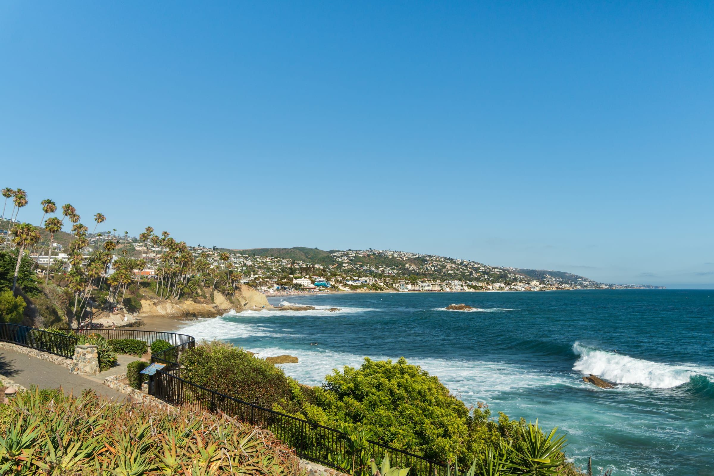
The easiest coastal walk in Laguna Beach links Heisler Park's bluff paths to the Main Beach boardwalk, with stairways and ramps down to the coves along the way. South of town, the shoreline breaks into street-end stairways and separate beaches.
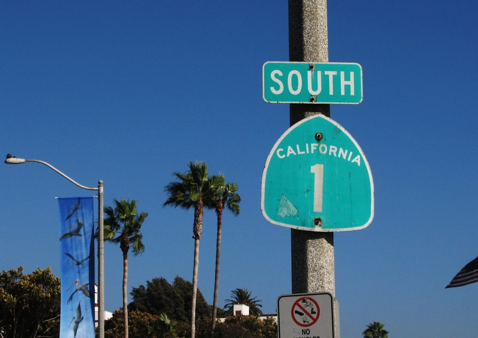
Photo: NorbertNagel, CC BY-SA 4.0
- Core walk
- Heisler Park to Main Beach, under half a mile in a straight line
- Surface
- Bluff-top park paths, then a boardwalk the length of Main Beach
- Bicycles
- Not allowed on the Main Beach Boardwalk or in city parks
- Trolley
- Free Coastal Route stops at North Laguna/Heisler Park and downtown
- Cost
- Free; parking is metered
Where to go
Parks along the path
-
-
-
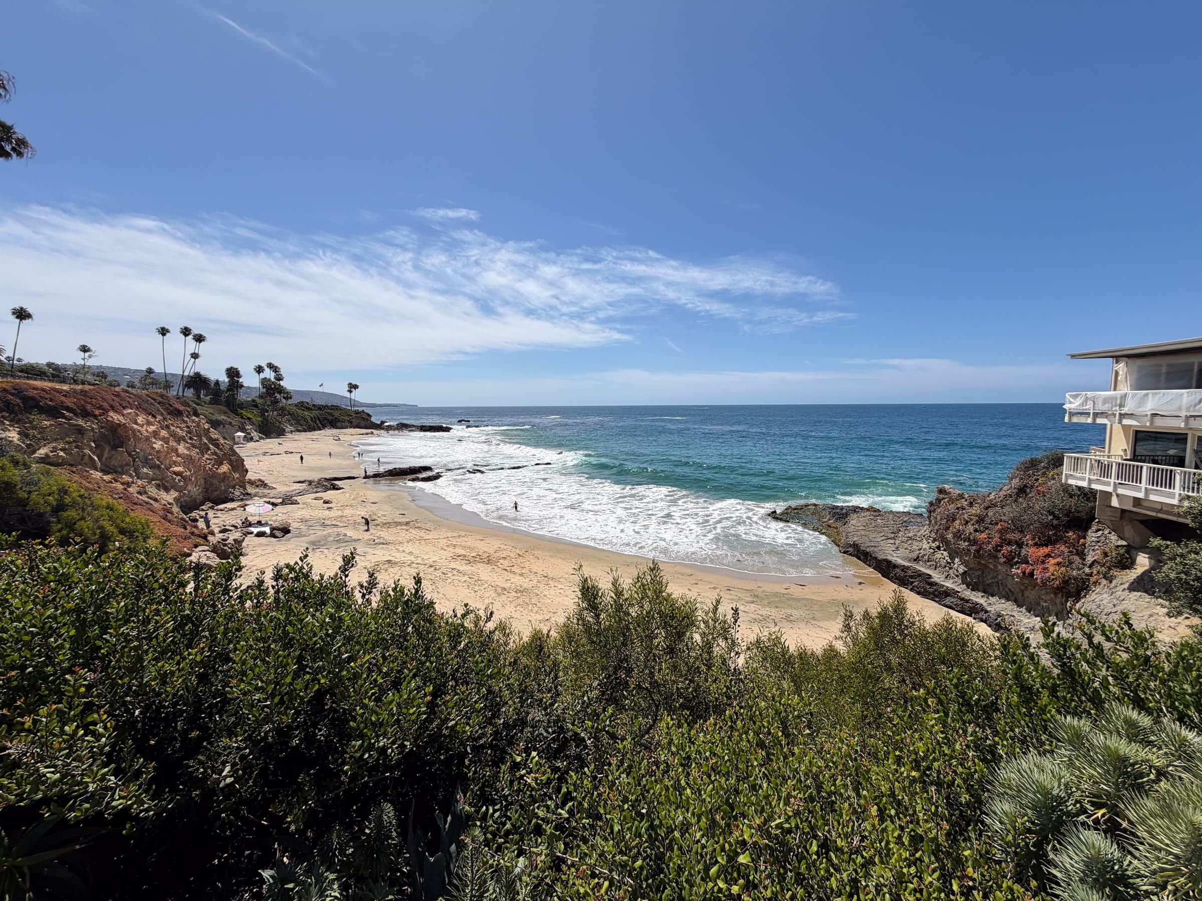
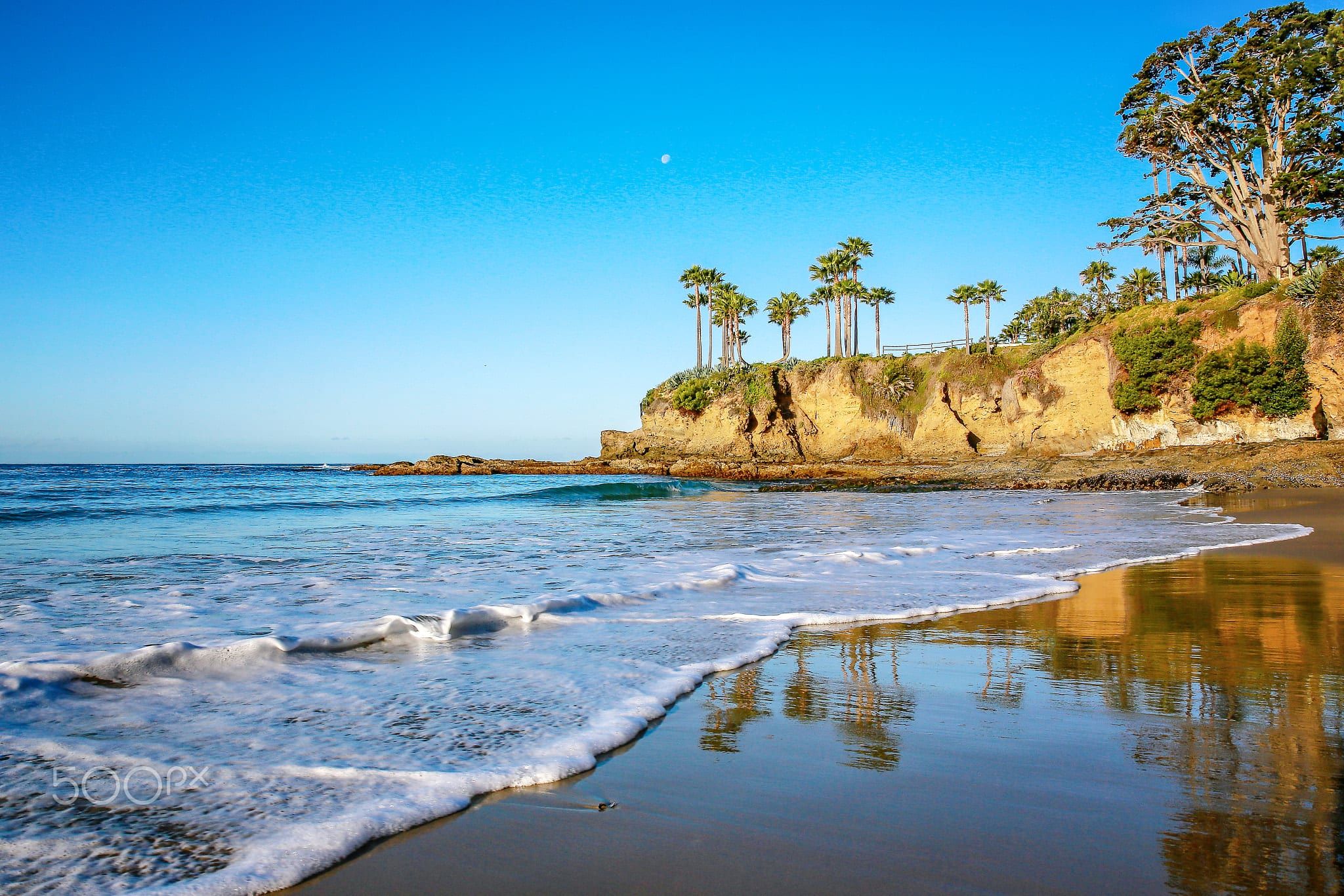
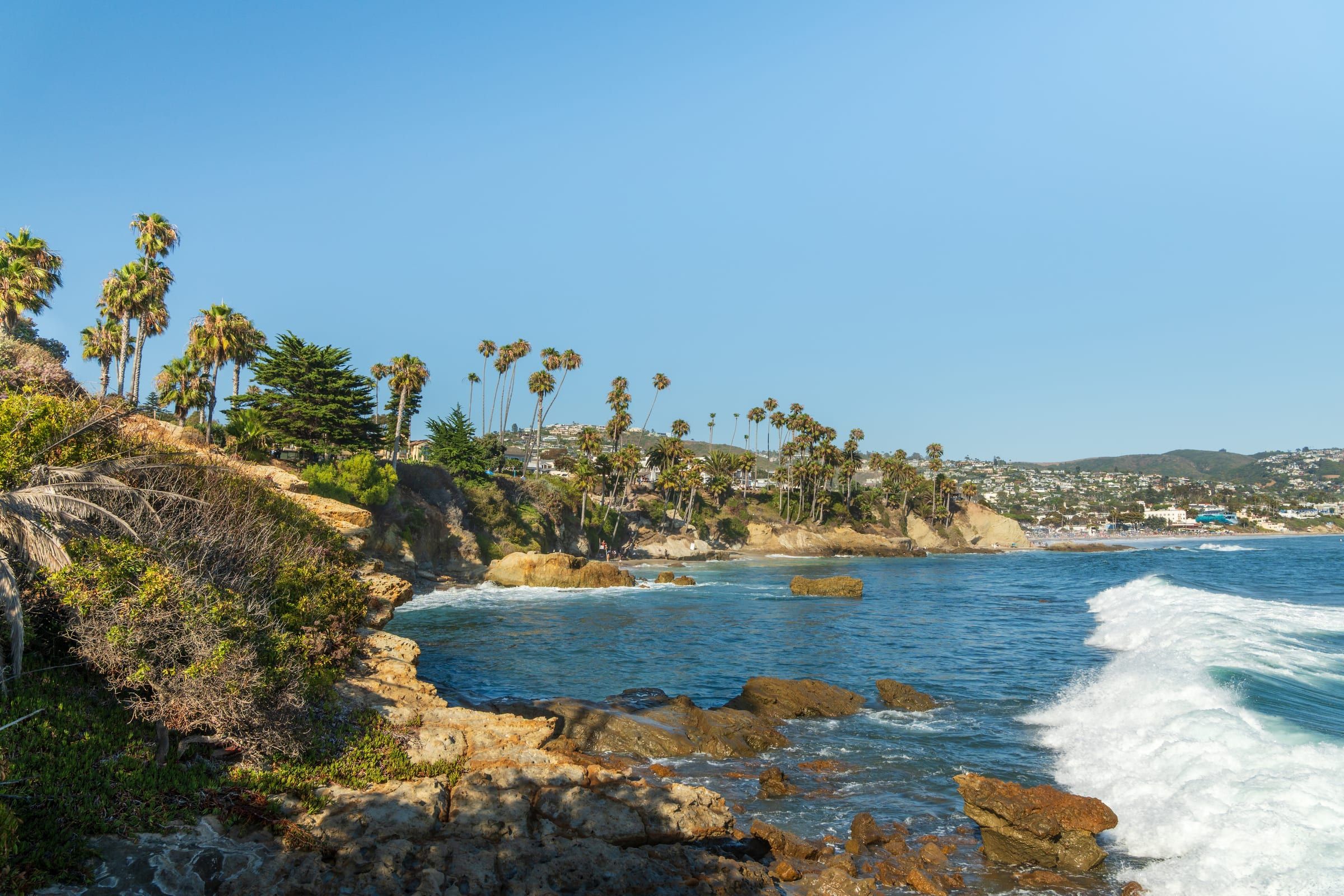
- Tide pools Picnic Beach A ramp through Heisler Park reaches the sand.
-
-
-
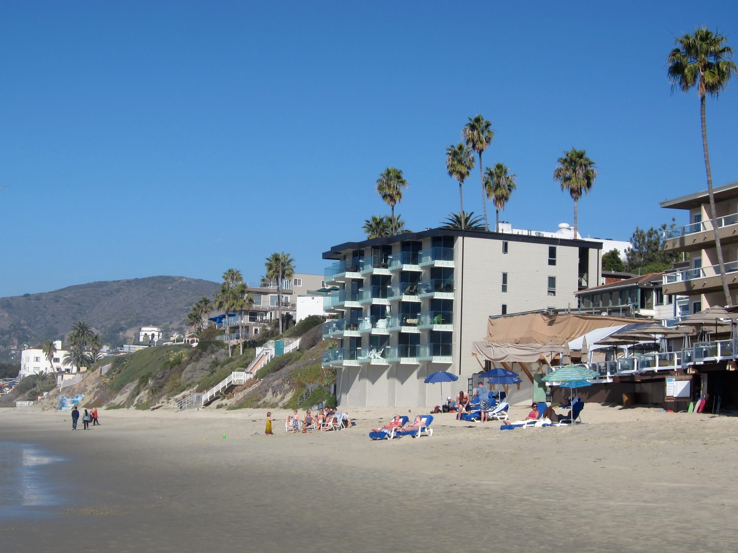
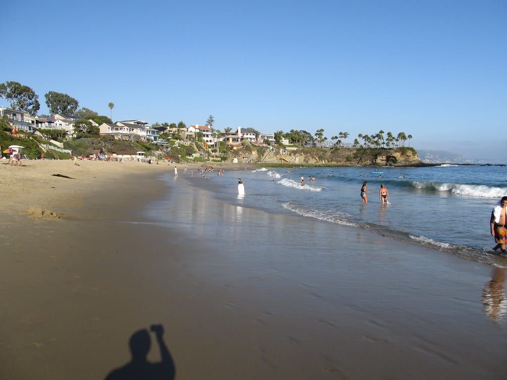
- Tide pools Thalia Street Beach Stairs at Thalia Street, the south end of the Sleepy Hollow to Thalia run the Coastal Commission lists.
-
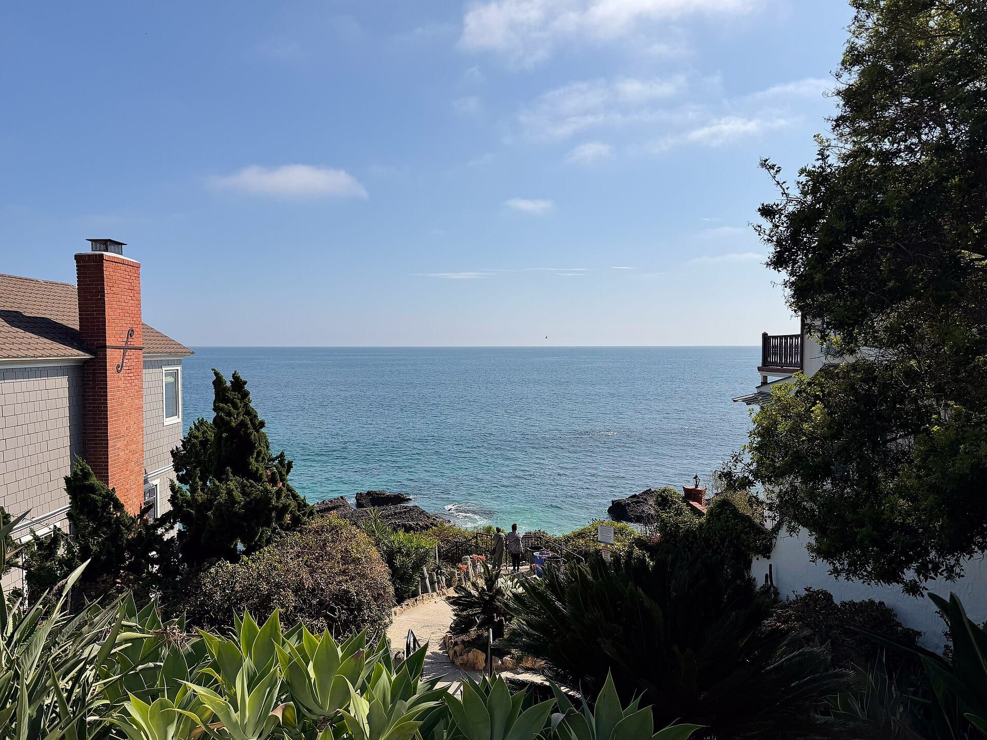
- Moss Street Beach Stairs at the end of Moss Street.
-
-
- Heisler Park Bluff-top park on Cliff Drive with trails, views and paths to the beach.
- Crescent Bay Point Park Bluff-top overlook at the west end of Crescent Bay Drive, with no beach access.
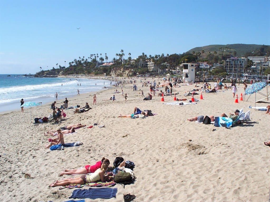
- Main Beach Park Broadway and Coast Highway, beside Main Beach.
- Treasure Island Park Landscaped park seaward of the Montage resort, with ramps to the beach.
The walk most people mean
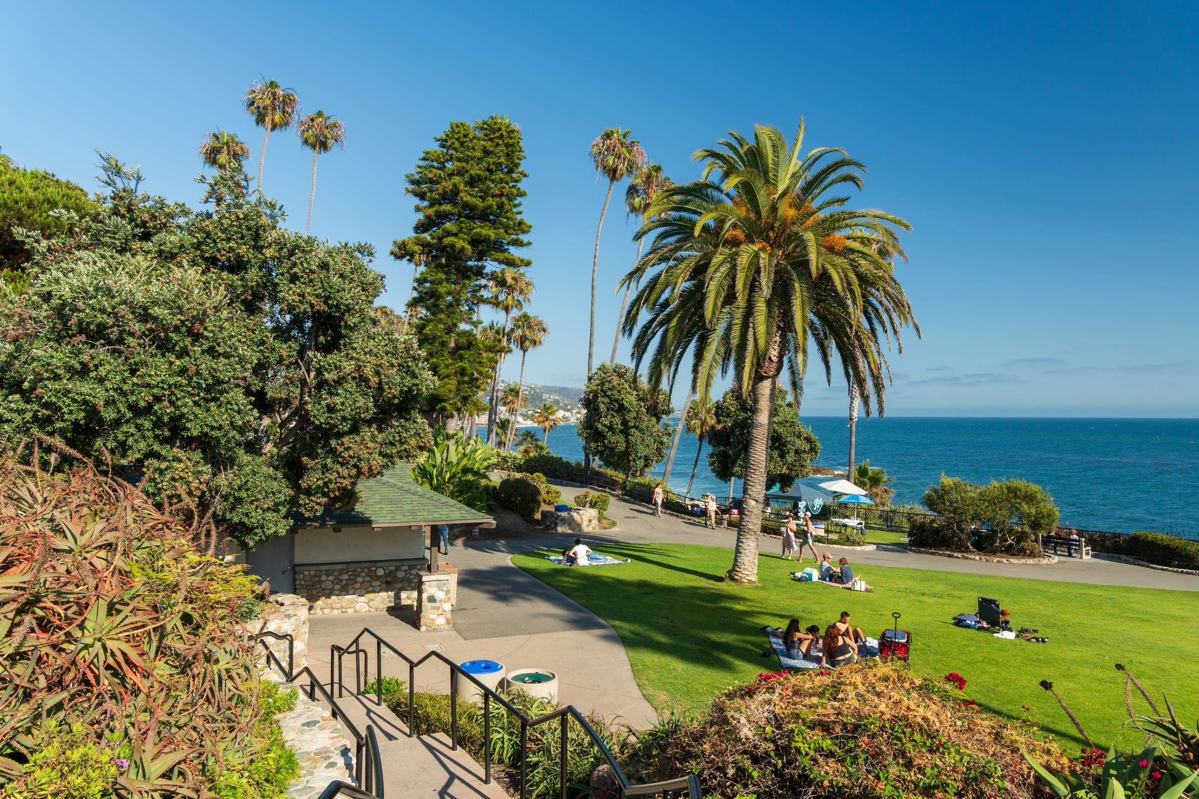
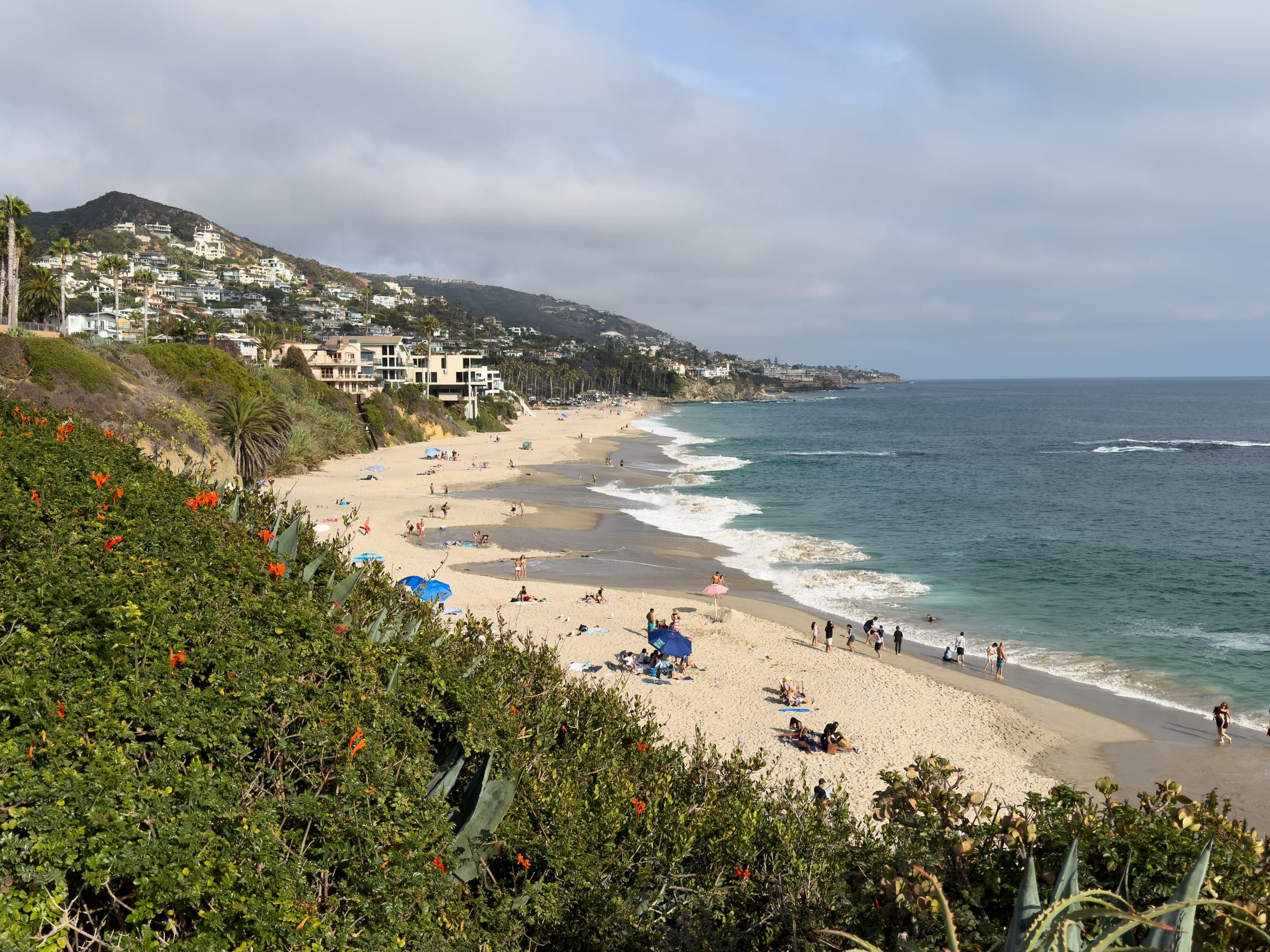
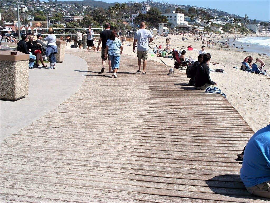
The core coastal walk runs along Cliff Drive in North Laguna and ends at Main Beach. The Coastal Commission lists Heisler Park as a bluff-top park with views, bluff-top trails, paths to the beach and metered parking. It also marks the park as easy for strollers and as having disabled access. Just south, the city says a boardwalk runs the length of Main Beach, with restrooms and showers at both ends.
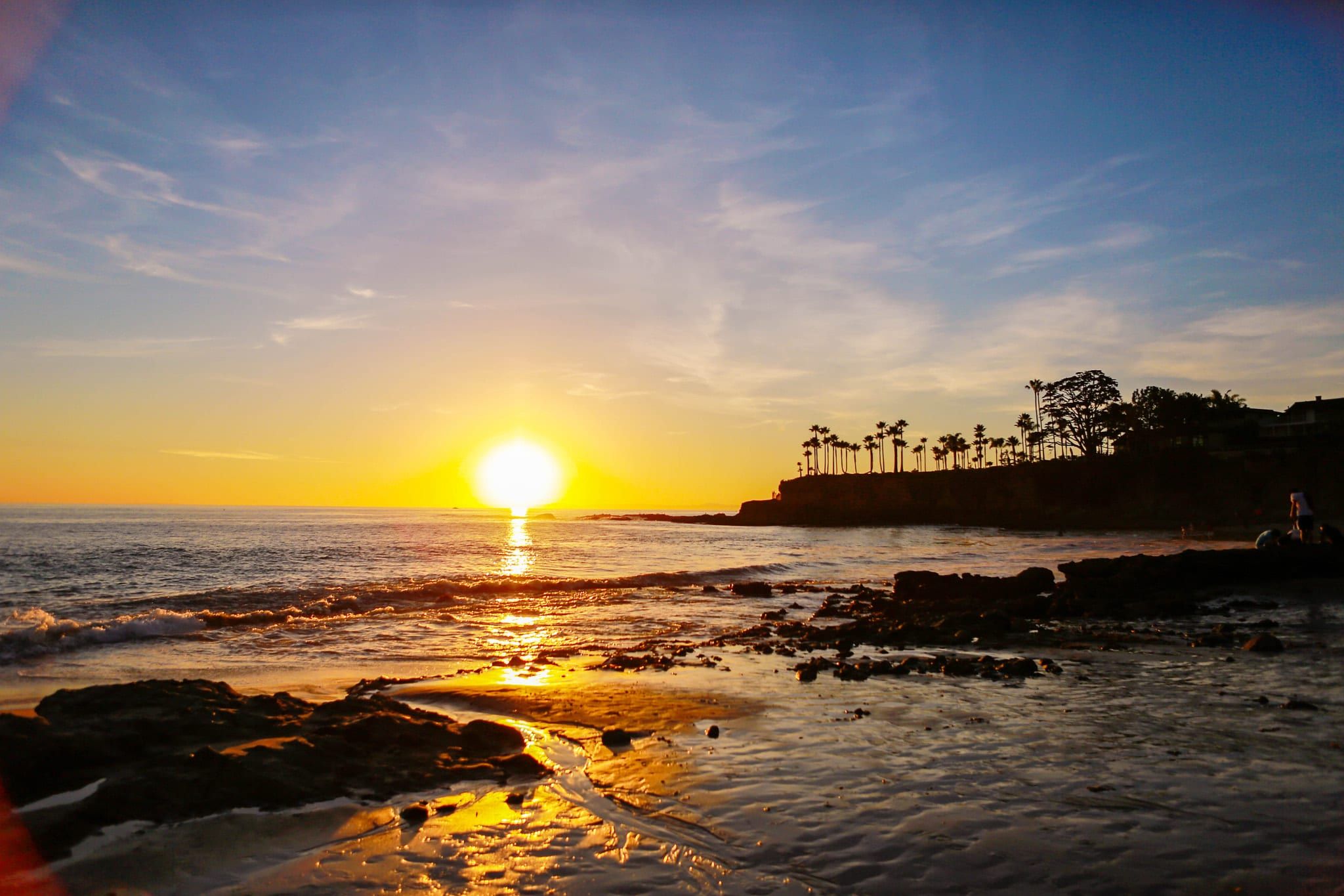
By the Coastal Commission’s coordinates, Heisler Park and Main Beach are under half a mile apart in a straight line. From Divers Cove, just north of Picnic Beach, to Main Beach is about 0.6 mile in a straight line. Those are map distances, not trail lengths, so allow extra for detours down to the coves. The walk makes a good sunset route.
Bicycles are off limits here. City code makes it unlawful to ride on any sidewalk, on the Main Beach Boardwalk or anywhere in a city park. The biking page covers where you can ride.
Stairs and ramps down from the bluff
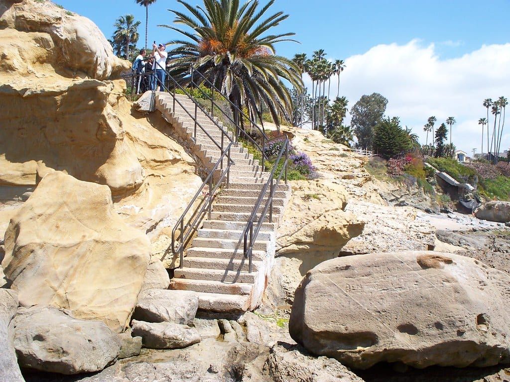
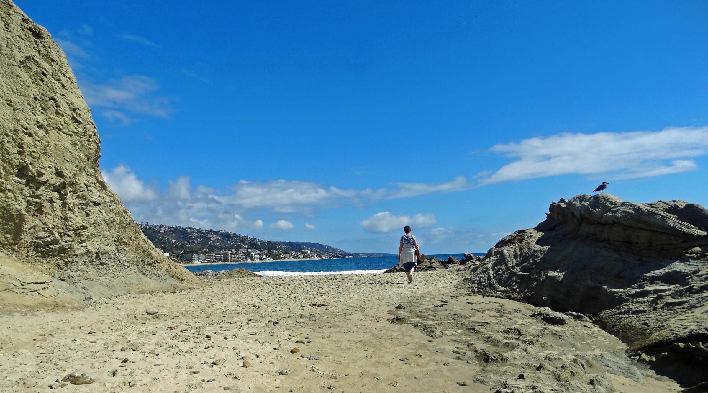
Each cove below the path has its own way down, listed in the cards below and on its beach page. Picnic Beach uses a ramp through Heisler Park, Rockpile and Divers Cove use stairs from Cliff Drive, and Crescent Bay has a ramp and stairs. Crescent Bay Point Park, north of the park at the end of Crescent Bay Drive, is an overlook with no beach access.
Street-end stairways south of Main Beach
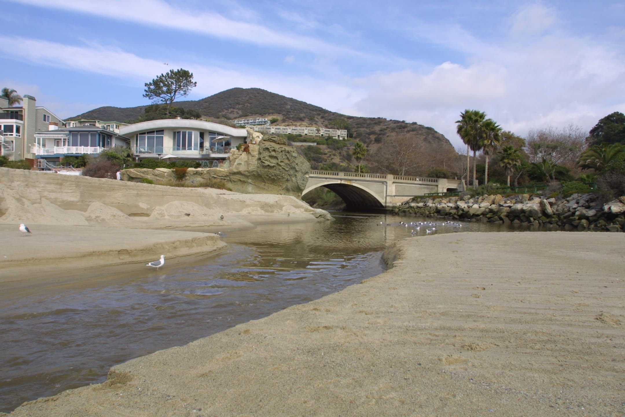
South of Main Beach the coast changes. The Coastal Commission lists stairs at the north end of Sleepy Hollow Lane and at Cleo Street, St. Ann’s Drive and Thalia Street, and stairs at most street ends from Anita Street to Pearl Street. Each leads to a separate pocket of sand, so you go down, come back up and walk along the street to the next stairway. Parking on those streets is limited, so see the parking guide or take the trolley.
Where tide and surf cut the route
Do not plan on rock-hopping between coves. The city’s beach pages set out the limits:
- Shaw’s Cove to Crescent Bay: under high surf, the city calls the point north of Shaw’s Cove especially dangerous to people walking between the two.
- Divers Cove and Picnic Beach: the city says the rocks separating them should be avoided at all times, and the rocks around Divers Cove’s north point are closed under high tides or surf.
- Rockpile: at high tide almost no dry sand remains. Bird Rock offshore is a bird sanctuary and off limits.
- Woods Cove: check with the lifeguard before exploring the northern rocks, which the city calls extremely dangerous in surf and high tide.
- Irvine Cove: the city says a rocky point has a tunnel for passing through during very low tides, but the beach lies inside a private community governed by its homeowners association. It is not a public route.
Ask Marine Safety, at (949) 497-0310, about tides and surf before you go looking for passages in the rocks. The city lists each beach on this walk as a marine protected area, so tide pooling means looking, not taking.
The California Coastal Trail
The California Coastal Trail is the state’s name for a continuous trail along the coast. The Coastal Commission describes it as a continuous interconnected public trail system, about 1,230 miles of coastline long, with about 70% constructed. The State Coastal Conservancy, which the Legislature tasked with helping complete it, coordinates the work with the Commission and State Parks. The Commission links an interactive map of the trail’s current extent.
For Laguna Beach, the best route description comes from Coastwalk, a nonprofit that tracks the trail. It puts Section 4 between the Crystal Cove Historic District and Main Beach and Section 5 between Main Beach and Aliso Beach. It says the trail meanders on and off coves, beaches and streets through town and detours onto the highway at two gated developments. That is a nonprofit’s description, so check the Commission’s map for official status. See Crystal Cove State Park for the northern end.
Treasure Island and Aliso Beach
Farther south the walk breaks into separate beaches. Treasure Island Park has ramps to the sand, and Aliso Beach has a paved pedestrian path and a tunnel walkway under Coast Highway to the inland lot. The city lists a sidewalk from the play structure to the south end of the beach.
Getting there and rules
The free Coastal Route trolley runs on Coast Highway between North Laguna and Heisler Park, downtown and South Laguna. The trolley page has current hours, and the getting around guide has the rest. The city’s Marine Safety department says beaches north of Aliso Creek close from 1 a.m. to 5 a.m. The council resolution that sets park and beach hours closes Heisler Park earlier, from midnight to 5 a.m.
Live from NOAA
Tides and water today
| Day | High and low tides |
|---|---|
| Loading NOAA predictions… | |
Sources: NOAA tide predictions, station 9410580 and NOAA NDBC buoy 46253 (owned by Scripps). The buoy reads open water offshore; water at the beach can differ. Check posted lifeguard flags before you swim.
Keep exploring
Related pages
-
-
-
-
-
-
-


Questions
Is there a coastal trail through Laguna Beach?
The California Coastal Trail is routed through town. The Coastal Commission calls it a continuous interconnected trail system along the whole coast, about 70% built. A nonprofit that tracks it, Coastwalk, places Heisler Park and Main Beach in its Orange County Section 4.
Can you walk from Heisler Park to Main Beach?
Yes. Heisler Park has bluff-top trails and paths to the beach, and a boardwalk runs the length of Main Beach. In a straight line the two are under half a mile apart.
Can you walk between the coves at low tide?
Do not count on it. The city names rocky points as hazards in high tide or surf at Shaw's Cove, Divers Cove and Woods Cove, and says the rocks between Divers Cove and Picnic Beach should be avoided at all times. Ask Marine Safety about conditions.
Can you ride a bike on the Main Beach boardwalk?
No. City code makes it unlawful to operate a bicycle on the Main Beach Boardwalk, on any sidewalk or in any area of a city park.
Thinking of moving here?
Get the printable moving checklist by email: before you move, moving week and your first 30 days.
Last reviewed
Sources (17)
- Coastal Commission access file: Heisler Park, 400 block of Cliff Dr., blufftop park with views, paths to the beach, bluff-top trails, stairs to the beach, metered parking, disabled access, easy for strollers; coordinates 33.5438, -117.7910; Main Beach at 33.5422, -117.7855 (about 0.34 mile from the Heisler point); Divers Cove at 33.5452, -117.7948 (about 0.57 mile from Main Beach); Crescent Bay ramp to the beach from Cliff Dr. at Circle Way, stairs; Shaw's Cove stairs off Cliff Dr.; Divers Cove stairs in the 600 block of Cliff Dr.; Picnic Beach ramp through Heisler Park; Rockpile off Cliff Dr. opposite Jasmine St., stairs; Crescent Bay Point Park blufftop overlook with no beach access; central Laguna beaches Sleepy Hollow Ln. to Thalia St. with stairs at the north end of Sleepy Hollow Ln. and at Cleo St., St. Ann's Dr. and Thalia St.; Anita St. to Pearl St. stairs at most street ends; Wood's Cove stairs at the end of Diamond St.; Moss Point stairs at the end of Moss St.; Treasure Island Park landscaped with ramps to the beach, seaward of the Montage resort at Wesley Dr.: api.coastal.ca.gov, checked 2026-10-28
- City beach pages for Crescent Bay, Shaws Cove, Divers Cove, Picnic, Rockpile, Main Beach, Sleepy Hollow, St. Ann's, Thalia, Woods Cove, Moss Point, Treasure Island and Aliso each list Marine Protected Area among amenities. City Main Beach page: a boardwalk runs the length of the beach; restrooms and showers at both ends; surf can be large and dangerous with rip currents; Marine Safety phone (949) 497-0310: lagunabeachcity.net, checked 2026-10-28
- City Shaws Cove page: under high surf conditions the point to the north is especially dangerous to people walking to and from Crescent Bay: lagunabeachcity.net, checked 2026-10-28
- City Divers Cove page: joins Picnic Beach at its southern end; the rocks around the north point are always a potential hazard and are closed under high tides or surf; the rocks to the south separating Divers Cove and Picnic Beach should be avoided at all times: lagunabeachcity.net, checked 2026-10-28
- City Rockpile page: at high tides almost no dry sand remains; Bird Rock is a bird sanctuary and off limits to people: lagunabeachcity.net, checked 2026-10-28
- City Woods Cove page: check with the lifeguard before exploring the northern rocks, which can be extremely dangerous during surf and high tides; no diving or jumping off the rocks: lagunabeachcity.net, checked 2026-10-28
- City Irvine Cove page: the beach is reached only through the private Irvine Cove community; a rocky point between the two parts of the beach has a tunnel for passing through during very low tides; governed by the Irvine Cove Homeowners Association: lagunabeachcity.net, checked 2026-10-28
- City Aliso Beach page: a tunnel walkway connects the beach to the parking lot on the inland side of the highway; a sidewalk runs from the play structure to the south end; amenities list a paved pedestrian walking path: lagunabeachcity.net, checked 2026-10-28
- Municipal Code 10.02.020: unlawful to operate a bicycle upon any sidewalk, the Main Beach Boardwalk or any area within any city park: ecode360.com, checked 2026-10-28
- California Coastal Commission: the California Coastal Trail is a continuous interconnected public trail system running the length of the coast; the coastline is about 1,230 miles; about 70% (roughly 875 miles) has been constructed; an interactive California Coastal Trail Map shows the current extent: coastal.ca.gov, checked 2026-10-28
- State Coastal Conservancy: roughly 70% of the CCT is complete; the Legislature tasked the Conservancy to help complete it; the Conservancy works with other state agencies including the Coastal Commission and State Parks to coordinate development of the CCT; the trail is being developed as a continuous, interconnected public trail system spanning over 1,230 miles from Oregon to Mexico: scc.ca.gov, checked 2026-10-28
- Coastwalk/California Coastal Trail Association (a nonprofit), Orange County page: Section 4 runs from the Crystal Cove State Park Historic District to Laguna Beach Main Beach, Section 5 from Main Beach to Aliso Beach, Section 6 from Aliso Beach to Doheny State Beach; the trail meanders on and off coves, beaches and streets through Laguna Beach; two stretches send walkers onto the highway because of gated developments; points to the Coastal Commission and Coastal Conservancy Completed Sections layer for official status: californiacoastaltrail.org, checked 2026-10-28
- Coastwalk/CCTA describes itself as the only statewide non-profit organization with the mission to promote, steward and ensure completion of the California Coastal Trail: coastwalk.org, checked 2026-10-28
- Coastwalk/CCTA info point for Heisler Park: listed as part of Orange County Section 4 of the California Coastal Trail; Picnic Beach is accessible at the north end of the park and Rockpile Beach at the south end; amenities include stairs to the beach and viewpoints: californiacoastaltrail.org, checked 2026-10-28
- City Marine Safety, Visiting Our Beaches: beaches north of Aliso Creek close between 1:00 a.m. and 5:00 a.m.; beaches south of Aliso Creek close between 10:00 p.m. and 6:00 a.m., except Thousand Steps Beach, 9:00 p.m. to 6:00 a.m.: lagunabeachcity.net, checked 2026-10-28
- City Council Resolution 23.015, adopted Feb. 21, 2023 (staff report exhibit and minutes): hours beaches and coastal-adjacent parks are closed; all beaches and coastal-adjacent parks 1:00 a.m. to 5:00 a.m. unless listed; Heisler Park and Crescent Bay Point Park 12:00 a.m. to 5:00 a.m.: lagunabeachcity.granicus.com, checked 2026-10-28
- City trolley: the free Coastal Route runs on Coast Highway between North Laguna/Heisler Park, downtown, South Laguna/Mission Hospital and the Ritz-Carlton in Dana Point: lagunabeachcity.net, checked 2026-10-28