
- Visitors a year
- 6 million, per the city
- Residents
- 22,391 (Census estimate, July 2025)
- Land in a Very High fire zone
- 87 percent, per the Fire Department
- Average high, August
- 81.2 degrees F (NOAA normals)
- State highways
- Two: SR-133 and SR-1
This page lists trade-offs, each with a source. Weigh them against your own budget and address.
Coast, parks and open space
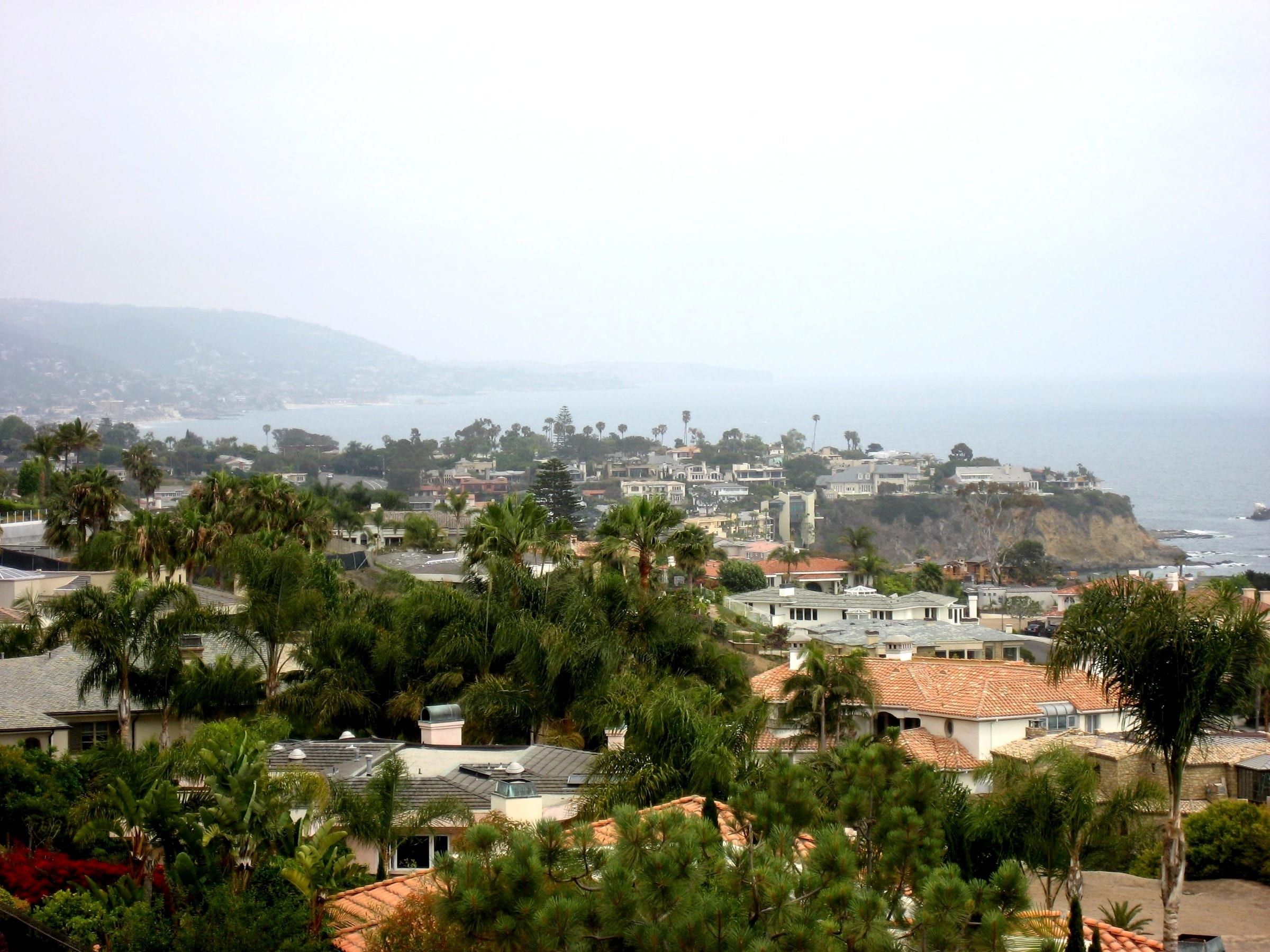
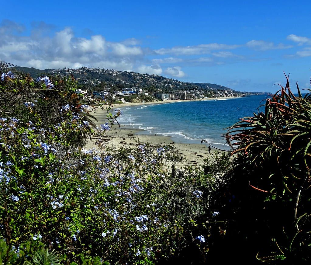
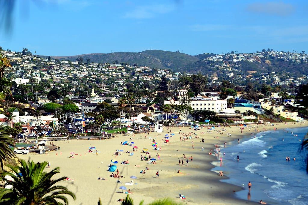
The upside. The city describes a small town of beaches, hiking trails and a walkable downtown, and its lifeguards cover seven and a half miles of coastline. This site has 33 beach and cove guides.
The cost. Much of that shoreline sits inside state marine protected areas. The Laguna Beach State Marine Reserve covers 4.4 miles of shoreline, the no-take conservation area 1.2 more, and the Department of Fish and Wildlife says it is unlawful to injure, damage, take or possess any living, geological or cultural marine resource there. See marine reserves for what stays legal.
Art, events and summer visitors
The upside. The city names summer art festivals as part of the town. Visit Laguna Beach’s list includes the Sawdust Art Festival, Laguna Art-A-Fair, the Festival of Arts Fine Art Show and the Pageant of the Masters. The events hub lists dates.
The cost. The city says Laguna Beach welcomes six million visitors a year. The Census Bureau’s July 2025 estimate is 22,391 residents, so simple division gives roughly 270 visitors for each resident. The city runs a free trolley, a Canyon Route with weekend parking in the canyon, and a Summer Breeze route from a free lot in Irvine. The city’s transit director said in 2023 that the trolley and on-demand services had nearly 675,000 boardings in the prior year and help reduce traffic congestion and the hunt for limited parking. See parking.
Housing costs
The cost. The Census Bureau’s 2020 to 2024 estimates give median gross rent of $2,986 a month and median household income of $143,843 in 2024 dollars. Property tax under Proposition 13 is based on 1 percent of the purchase price, and special assessments and bonds can add to the bill. The cost of living guide goes line by line.
The upside. Under Proposition 13 the Assessor raises the factored base year value of a home you keep by the Consumer Price Index, no more than 2 percent a year. Taxable value can rise faster after a change in ownership, new construction or an earlier temporary reduction. See property taxes.
Wildfire zones and insurance
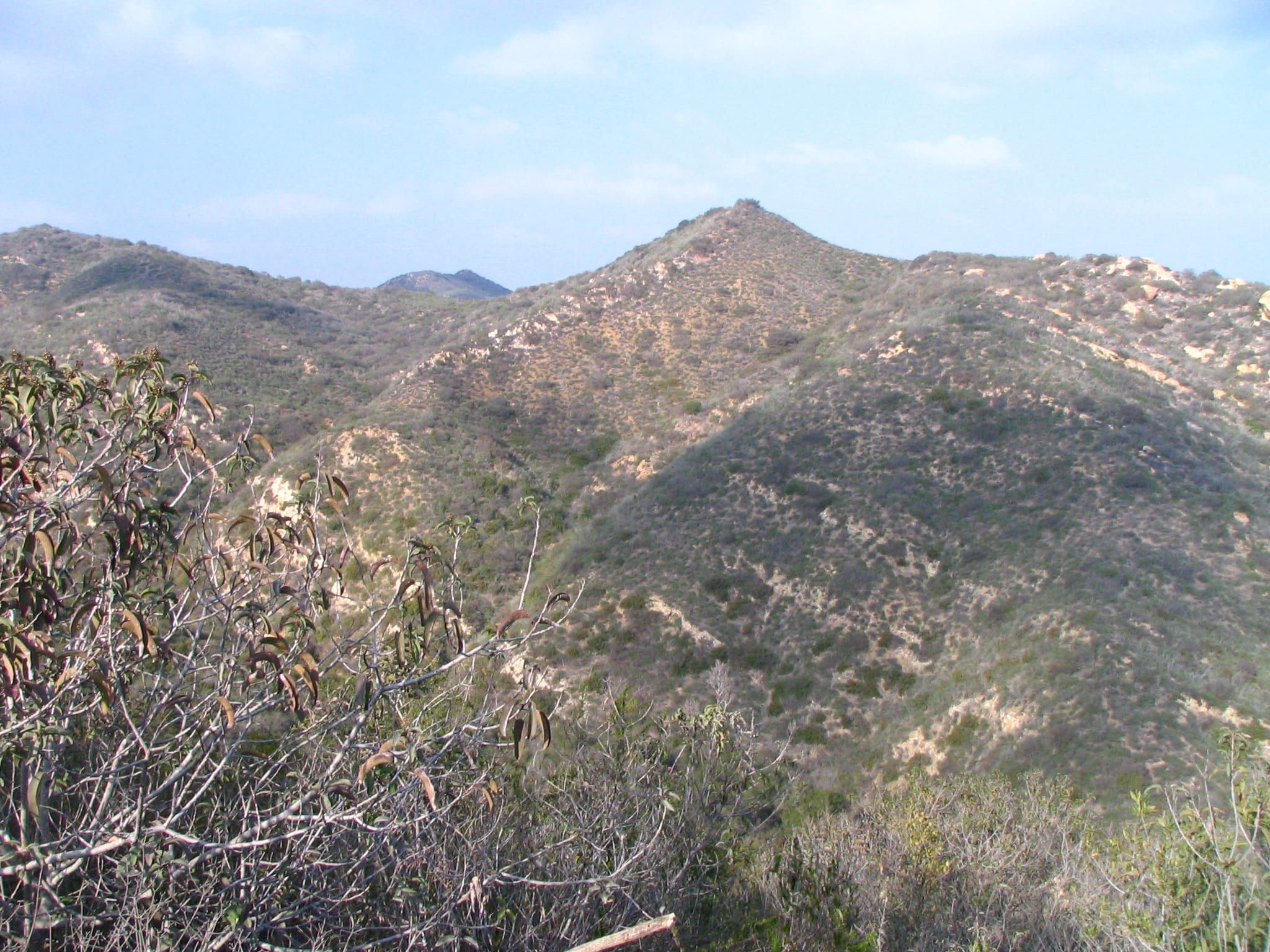
The cost. The Fire Department says 87 percent of the city’s land area and about 65 percent of its buildable property lie in the Very High Fire Hazard Severity Zone. A sale of a one-to-four-unit home in that zone that needs a Transfer Disclosure Statement also needs a defensible-space inspection. The state insurance department says CAL FIRE maps are not used for rates or underwriting. Insurers use their own risk models, and the FAIR Plan exists for residents who cannot get a regular policy. The department recommends shopping the market first.
The upside. The city publishes address-level zone maps, 22 evacuation zone maps, free wildfire consultations and Red Flag parking alerts. See emergency alerts and wildfire and home insurance.
Design review and permits
The cost. The city says your project will most likely need discretionary approval before a building permit. Its steps include a zoning review of about 30 days, a completeness review of about 30 days, a hearing tentatively set about 45 days after the application is complete, then a 14-day appeal period. Approvals last two years.
The upside. The process notifies owners within 300 feet and tenants within 100 feet, and the municipal code requires early talks with neighbors. See building permits and design review.
Marine layer and weather
The cost. NOAA says the marine layer can persist for days or weeks along the Southern California coast, and people in Southern California call it May Gray or June Gloom. NOAA’s normals for the Laguna Beach station put average highs at 74.5 degrees in May and 76.0 in June.
The upside. The same normals show August averaging 81.2 degrees for the high and December averaging 43.8 for the low. Yearly precipitation adds up to 12.68 inches. See the weather and climate page.
Walkable downtown and steep hills
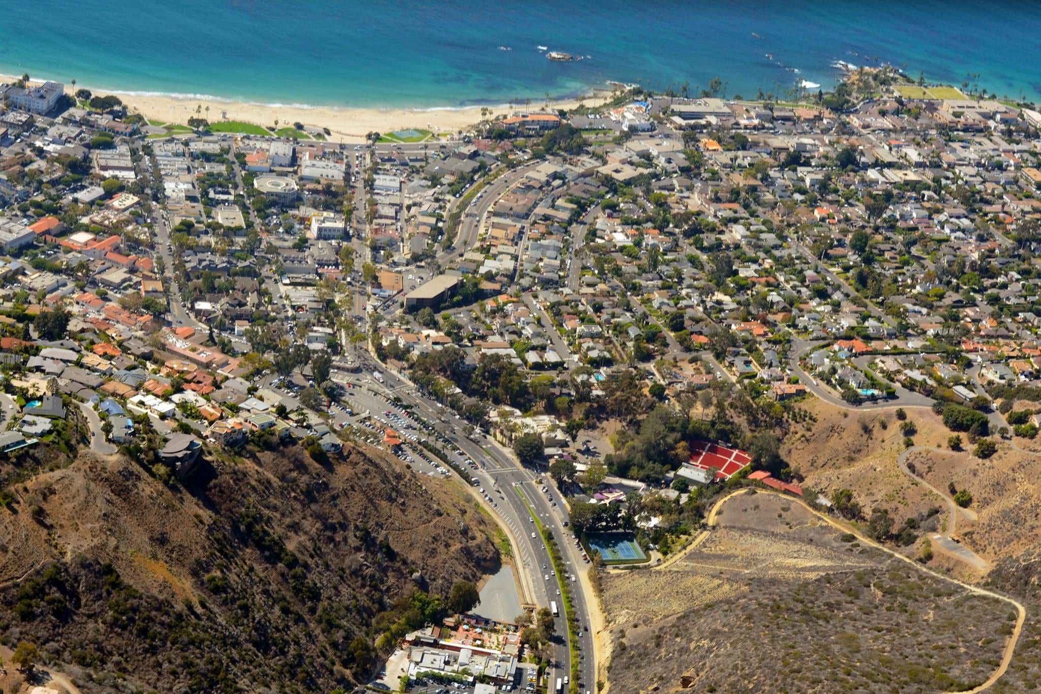
The upside. The city calls its downtown walkable. A USGS elevation point on Ocean Avenue in the Village reads about 14 feet.
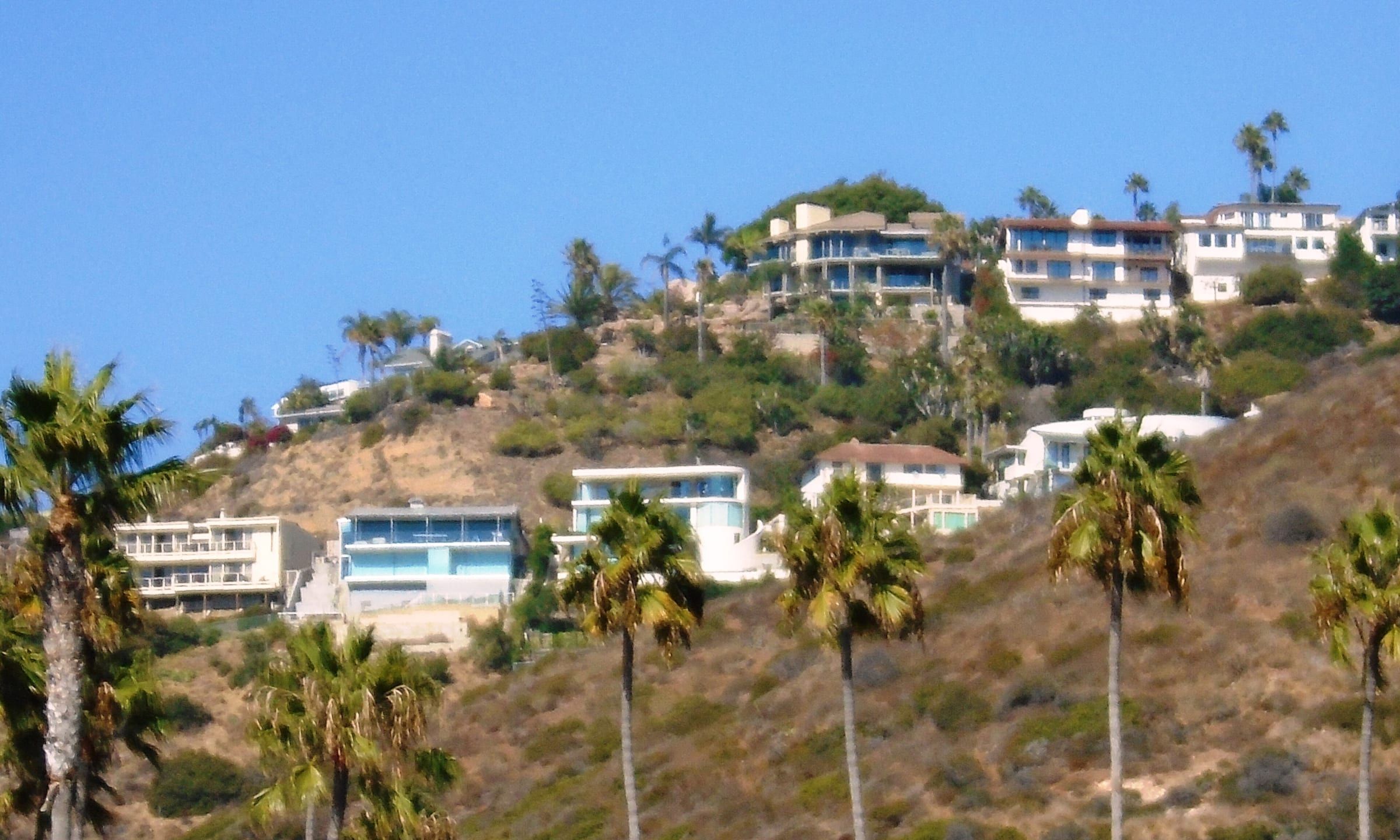
The cost. A USGS point on Treetop Lane in Top of the World reads about 1,009 feet. The city’s free Laguna Local service links residential neighborhoods to major activity centers, and the trolley covers the coast. See getting around.
Two state highways
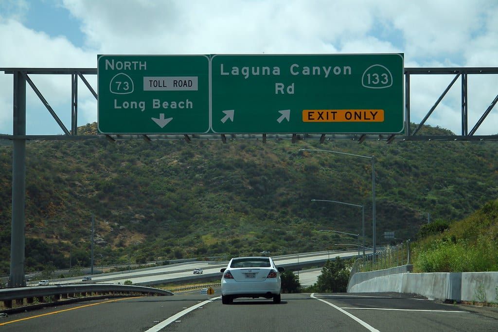
The cost. Caltrans describes State Route 133, Laguna Canyon Road, as one of two state highways connecting Laguna Beach to the rest of Orange County. The other is Pacific Coast Highway. Between Canyon Acres Drive and El Toro Road, SR-133 is a two-lane road. The city says its 2021 Wildfire Egress Study identified Bluebird Canyon, Canyon Acres and Diamond/Crestview as access impaired because of narrow, winding roads, and it asks residents to know at least two routes out of their neighborhood.
The upside. The city divides the town into 22 evacuation zones, each with a map, so you can plan your routes before an alert. See commute and jobs.
Questions
Does Laguna Beach get a lot of fog?
NOAA says the marine layer can persist for days or weeks along the Southern California coast, and people in Southern California call it May Gray or June Gloom. The NOAA normals for the Laguna Beach station put average highs at 74.5 degrees in May and 76.0 in June, against 81.2 in August.
How many people visit Laguna Beach each year?
The city says Laguna Beach welcomes six million visitors each year. The Census Bureau estimates 22,391 residents, so visitors outnumber residents by roughly 270 to one over a year.
How much of Laguna Beach is in a high fire hazard zone?
The Fire Department says 87 percent of the city's land area, and about 65 percent of its buildable property, lies in the Very High Fire Hazard Severity Zone that CAL FIRE designates. The city's maps let you check a single address.
Do you need city approval to remodel a home in Laguna Beach?
The city says your project will most likely need discretionary approval before a building permit, and the municipal code requires early talks with neighbors. Check the design review page for your project type.
Get the moving checklist
The printable checklist by email: before you move, moving week and your first 30 days.
Living here
More for your move
-
-
-
-
-
-


Last reviewed
Sources (23)
- City of Laguna Beach: a small town of beaches, hiking trails, a walkable downtown and summer art festivals; 8.84 square miles; six million visitors each year: lagunabeachcity.net, checked 2026-10-28
- Census Bureau QuickFacts: population estimate July 1, 2025 of 22,391; median gross rent $2,986, owner-occupied rate 66.1 percent and median household income $143,843 in 2024 dollars (2020-2024): census.gov, checked 2026-10-28
- Visit Laguna Beach fact sheet: annual festivals include Laguna Beach Music Festival, Fete de la Musique, Laguna Art-A-Fair, Sawdust Art Festival, Festival of Arts Fine Art Show and Pageant of the Masters: visitlagunabeach.com, checked 2026-10-28
- City of Laguna Beach Marine Safety Department: seven-and-a-half miles of the city's coastline: lagunabeachcity.net, checked 2026-10-28
- Laguna Beach State Marine Reserve spans 4.4 miles of shoreline from Abalone Point to Goff Island; Laguna Beach State Marine Conservation Area (no-take) runs 1.2 miles from Goff Island to Table Rock; it is unlawful to injure, damage, take or possess any living, geological or cultural marine resource in the reserve: wildlife.ca.gov, checked 2026-10-28
- Trolley routes: free Coastal Route; Canyon Route with $5 parking at Lot 16/Act V on weekends in the off-season; Summer Breeze route from a free parking lot in Irvine to art festivals and downtown; free on-demand Laguna Local between residential neighborhoods and major activity centers: lagunabeachcity.net, checked 2026-10-28
- OCTA blog, October 12, 2023: the city's transit director said the trolley and on-demand services had nearly 675,000 boardings in the prior year and help reduce traffic congestion and the search for parking: blog.octa.net, checked 2026-10-28
- Orange County Treasurer-Tax Collector: property taxes under Prop. 13 are based on 1 percent of the purchase price; bills may be higher because of special assessments, bonds and Mello-Roos charges: octreasurer.gov, checked 2026-10-28
- Orange County Assessor: taxable value is the lower of factored base year value or market value on January 1; the factored value rises by the Consumer Price Index, no more than 2 percent a year; a change in ownership, new construction or temporary reductions in prior years can raise taxable value by more than 2 percent in one year: ocassessor.gov, checked 2026-10-28
- City Council adopted the 2025 Fire Hazard Severity Zone maps on June 24, 2025; two interactive maps search an address for its hazard level: lagunabeachcity.net, checked 2026-10-28
- Fire Department: 87 percent of the city's land area and about 65 percent of buildable property lie in the Very High Fire Hazard Severity Zone; Free Wildfire Consultation for all property owners: lagunabeachcity.net, checked 2026-10-28
- Sales of one-to-four-unit homes in the Very High zone that need a Transfer Disclosure Statement require a defensible-space inspection by the Fire Department: lagunabeachcity.net, checked 2026-10-28
- CAL FIRE hazard maps are not used for insurance rates or underwriting; insurers use their own wildfire risk models to decide where they write policies and what they charge: insurance.ca.gov, checked 2026-10-28
- California FAIR Plan is for residents who cannot obtain insurance through a regular insurer; the department recommends shopping the market first; the FAIR Plan offers a limited fire policy and the department points holders to a Difference in Conditions policy for other coverage: insurance.ca.gov, checked 2026-10-28
- Design review process: your project will most likely require discretionary approval; early neighbor communication; initial zoning review about 30 days; completeness letter within about 30 days of the application; hearing tentatively about 45 days after a complete application, if exempt from CEQA; Design Review Board and Planning Commission meet twice a month; notice to owners within 300 feet and tenants within 100 feet; 14-day appeal period; approvals valid two years: lagunabeachcity.net, checked 2026-10-28
- NOAA NCEI 1991-2020 monthly normals for the Laguna Beach station: average highs of 74.5 F in May, 76.0 F in June and 81.2 F in August; average lows of 43.8 F in December; yearly precipitation normals sum to 12.68 inches: ncei.noaa.gov, checked 2026-10-28
- NOAA JetStream: the marine layer can persist for days or weeks along the coasts of central and Southern California because of a temperature inversion; people in Southern California call it May Gray or June Gloom: noaa.gov, checked 2026-10-28
- USGS elevation service: about 14 feet at a point on Ocean Avenue in the Village: epqs.nationalmap.gov, checked 2026-10-28
- USGS elevation service: about 1,009 feet at a point on Treetop Lane in Top of the World: epqs.nationalmap.gov, checked 2026-10-28
- Red Flag parking restrictions in Bluebird Canyon, Canyon Acres and Diamond/Crestview, which the 2021 Wildfire Egress Study identified as access impaired because of narrow and winding roadways; alert texts to those registered in the Red Flag Parking group: lagunabeachcity.net, checked 2026-10-28
- Caltrans environmental document: SR-133 is one of two state highways that connect Laguna Beach to the rest of Orange County, the other being SR-1, Pacific Coast Highway; SR-133 between Canyon Acres Drive and El Toro Road is a two-lane highway: files.ceqanet.lci.ca.gov, checked 2026-10-28
- Prepare for an emergency: know your evacuation zone and at least two routes out of your neighborhood; the majority of Laguna Beach is within the Very High Fire Severity Zone: lagunabeachcity.net, checked 2026-10-28
- 22 evacuation management zones, LAB01 to LAB22, each with a map: lagunabeachcity.net, checked 2026-10-28