What it’s like
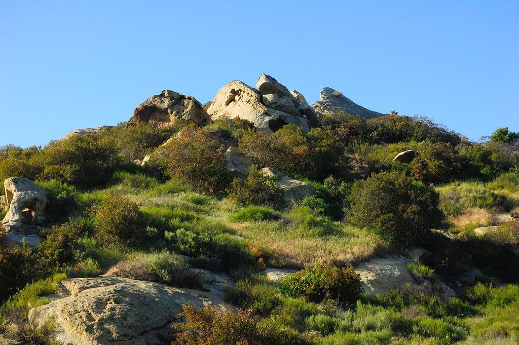
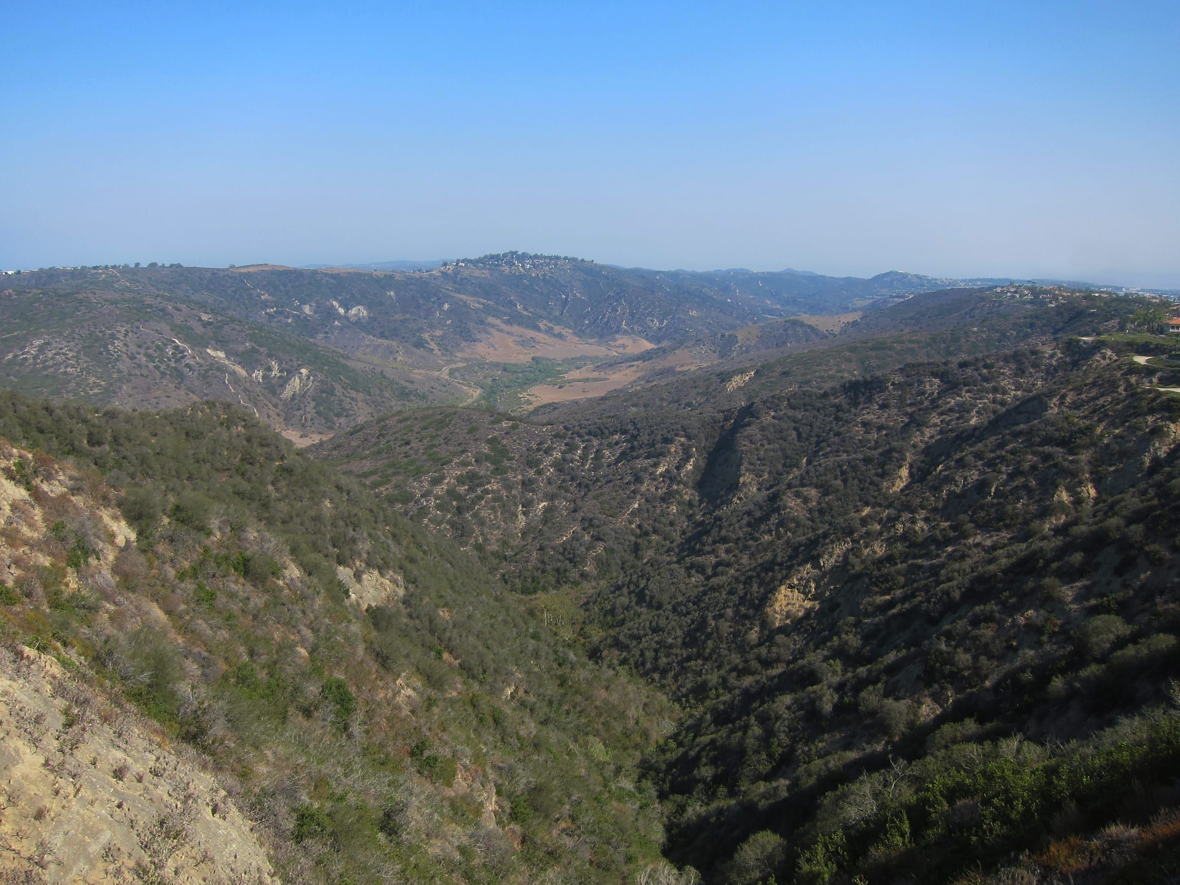
Laguna Canyon Road is State Route 133. It starts at Pacific Coast Highway as Broadway, takes the name Laguna Canyon Road as it leaves downtown, and runs up a canyon that lies between Laguna Coast Wilderness Park on the west side and Aliso and Wood Canyons Wilderness Park on the east side.
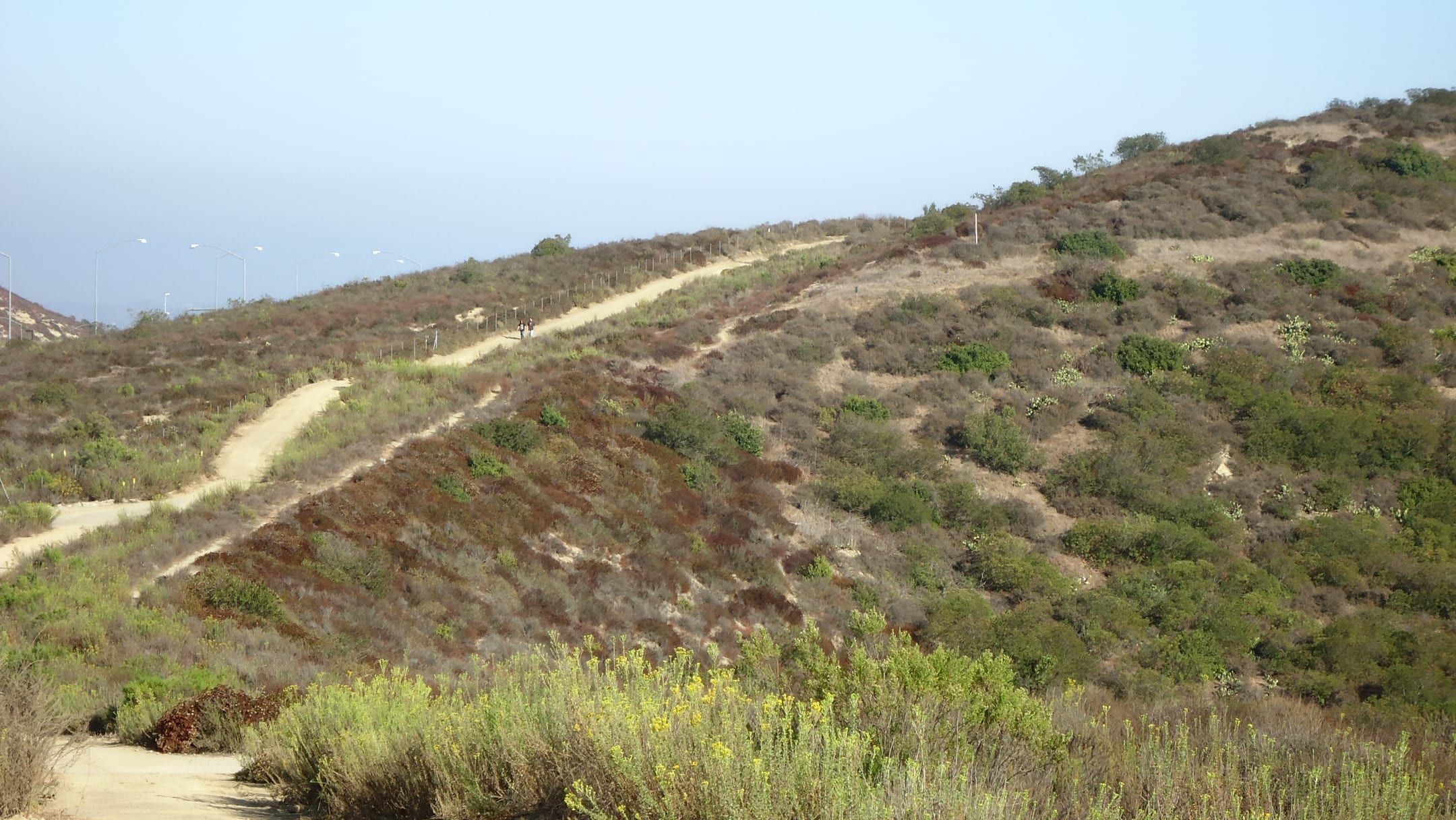
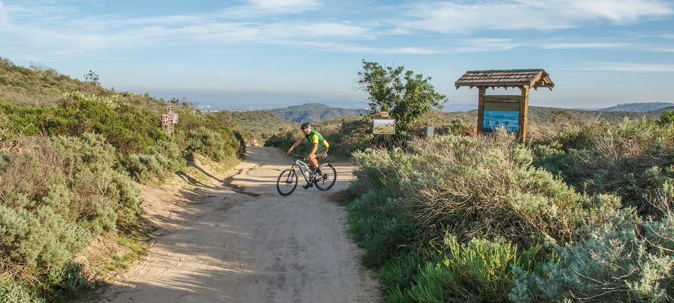
OC Parks puts Laguna Coast Wilderness Park at 7,000 acres. It lists trails for hiking, mountain biking and horseback riding, gives the park’s address as 18751 Laguna Canyon Road and posts hours for the Nix Nature Center. Dogs are not permitted in the park.
The road also holds the grounds of the summer art shows. Festival of Arts, home of the Pageant of the Masters, is at 650 Laguna Canyon Road. Art-A-Fair is at 777 and the Sawdust Art Festival at 935. Laguna College of Art + Design sits farther up at 2222. Anneliese Schools, a private school for nursery through sixth grade, runs its Willowbrook campus in the canyon and keeps its administrative office at 20062 Laguna Canyon Road.
Homes stand on side streets off the road, among them Arroyo Drive and the Canyon Acres streets. Most homes in the MLS community that covers the canyon are single-family houses. Its sale records also include a duplex, a fourplex, a mixed-use property and vacant land. At its lower end the road meets the Village.
Getting around
Visit Laguna Beach sends drivers on the 405 or 5 to Highway 133 South, which becomes Laguna Canyon Road and then Broadway, and names Pacific Coast Highway as the scenic drive along the coast. Heading out of town, the first major intersection is El Toro Road. The highway then crosses the SR 73 toll road and reaches the 405 and the 5 in Irvine.
On Saturdays and Sundays you can park at Lot 16, also called Act V, at 1900 Laguna Canyon Road for $5 and ride the free Canyon Route trolley downtown. It runs every 30 minutes from 9 a.m. to 7 p.m. on the off-season schedule, which covers September 8, 2026 to June 25, 2027. The city closes the lot to the public Monday through Friday.
Laguna Local, the city’s free on-demand shared ride, lists ten stops under its Laguna Canyon heading. They run from the bus depot and the City Hall lot downtown to Art-A-Fair, the Festival of Arts, Canyon Acres, both Laguna College of Art + Design stops, Castle Rock Road, Sun Valley Road and El Toro Road. You book by app, online or by calling transit dispatch at (949) 497-0766. The getting around guide covers fares and hours, and the parking guide covers permits.
Things to know before you buy or rent
Canyon Acres is one of three neighborhoods under the city’s Red Flag parking rules. If the National Weather Service issues a Red Flag Warning for Laguna Beach, the city limits parking to one side of the road where it can, in the direction of egress. The other two neighborhoods are Bluebird Canyon and Diamond/Crestview. The city’s 2021 Wildfire Egress Study identified all three as access impaired because of narrow, winding roads. The National Weather Service has issued these warnings on about one day a year, on average. Text LBREDFLAG to 888777 to get the city’s alerts.
The city also divides town into 22 evacuation zones, among them Canyon Acres, Sun Valley, Big Bend and El Toro. Each zone has its own map, and the city recommends that you print yours and learn the routes.
According to the Laguna Beach Fire Department, about 87% of the city’s land and about 65% of its buildable property sit in a Very High Fire Hazard Severity Zone. The department’s map page looks up any address. A sale of a one-to-four-unit home in that zone that needs a Real Estate Transfer Disclosure Statement includes a defensible-space inspection by the department, and the department offers a free wildfire consultation. The state insurance commissioner says CAL FIRE hazard maps do not set insurance rates, because insurers use their own wildfire models. Ask your insurer about a specific address.
The canyon’s MLS records include vacant land. The city’s GIS shows whether a parcel carries a building-site designation, which tells you whether the parcel has the potential to be developed.
Laguna Beach Unified School District operates the public schools in town. For school names and locations, see the schools guide.
Things to do
Things to do near Laguna Canyon
-
-
-
- Marine Mammal Center Outdoors
-
-


Questions
Is Laguna Canyon Road the same as State Route 133?
Yes. State Route 133 begins at Pacific Coast Highway as Broadway, becomes Laguna Canyon Road as it leaves downtown, and continues to the 405 and 5 freeways in Irvine.
Where do you park for the Canyon Route trolley?
At Lot 16, called Act V, at 1900 Laguna Canyon Road. Parking costs $5, and the free trolley runs downtown on Saturdays and Sundays. The city closes the lot to the public Monday through Friday.
What parking rule applies in Canyon Acres during a Red Flag Warning?
The city limits parking to one side of the road where it can, in the direction of egress. Its Red Flag Parking page has maps of the affected streets.
Can you bring a dog into Laguna Coast Wilderness Park?
No. OC Parks lists the park as dogs not permitted.
Questions about Laguna Canyon?
Ask a local broker about streets, homes, rentals or timing.
Last reviewed
Sources (23)
- Laguna Canyon Road is State Route 133; it starts at Pacific Coast Highway as Broadway, runs between Laguna Coast Wilderness Park and Aliso and Wood Canyons Wilderness Park, first meets El Toro Road, then reaches SR 73, I-405 and I-5: en.wikipedia.org, checked 2026-10-09
- Drivers on the 405 or 5 exit onto Highway 133 South toward Laguna Beach, which becomes Laguna Canyon Road and then Broadway; Pacific Coast Highway 1 is the scenic drive along the coastline: visitlagunabeach.com, checked 2026-10-09
- Laguna Coast Wilderness Park covers 7,000 acres, is part of the almost 20,000-acre South Coast Wilderness, sits at 18751 Laguna Canyon Road with the Nix Nature Center, lists hiking, mountain bike and equestrian trails, and does not permit dogs: parks.oc.gov, checked 2026-10-09
- Festival of Arts and the Pageant of the Masters at 650 Laguna Canyon Road: foapom.com, checked 2026-10-09
- Sawdust Art Festival at 935 Laguna Canyon Road: sawdustartfestival.org, checked 2026-10-09
- Art-A-Fair at 777 Laguna Canyon Road: art-a-fair.com, checked 2026-10-09
- Laguna College of Art + Design at 2222 Laguna Canyon Road: lcad.edu, checked 2026-10-09
- Anneliese Schools runs a Willowbrook campus in the canyon for nursery through 6th grade, and its administrative office is at 20062 Laguna Canyon Road: annelieseschools.com, checked 2026-10-09
- Arroyo Drive is a residential street in Canyon Acres: nominatim.openstreetmap.org, checked 2026-10-09
- Canyon Acres Drive is a residential street in Canyon Acres; OpenStreetMap also places Laguna College of Art and Design on Laguna Canyon Road in Canyon Acres: nominatim.openstreetmap.org, checked 2026-10-09
- Coordinates for Laguna College of Art and Design on Laguna Canyon Road (33.5616, -117.7725): nominatim.openstreetmap.org, checked 2026-10-09
- The MLS community called Canyon is mostly single-family homes; its sale records include a duplex on Arroyo Drive, a fourplex, a mixed-use property and land, with addresses on Laguna Canyon Road, Arroyo Drive, Canyon Acres and Castle Rock Way: realatrends.com, checked 2026-10-09
- Canyon Route: park at Lot 16/Act V, 1900 Laguna Canyon Road, for $5 and ride a free trolley downtown on Saturdays and Sundays, 9 a.m. to 7 p.m., every 30 minutes; Lot 16 is closed to the public Monday to Friday; off-season schedule runs Sept. 8, 2026 to June 25, 2027: lagunabeachcity.net, checked 2026-10-09
- Laguna Local is a free on-demand shared ride between residential neighborhoods and activity centers, booked by app, online or by calling transit dispatch at (949) 497-0766: lagunabeachcity.net, checked 2026-10-09
- Laguna Local's map lists ten stops under its Laguna Canyon heading: Bus Depot, Lot 12/City Hall, Art-A-Fair, Festival/Pageant, Canyon Acres/Laguna Canyon Rd, LCAD-Main, LCAD-Big Bend, Castle Rock Rd/Laguna Canyon Rd, Art Loft/Sun Valley Rd, El Toro Rd/Artisan: lagunabeachcity.net, checked 2026-10-09
- Red Flag parking restrictions apply in Bluebird Canyon, Canyon Acres and Diamond/Crestview; the 2021 Wildfire Egress Study called them access impaired because of narrow, winding roads; parking is limited to one side where feasible; about one Red Flag Warning day a year; text LBREDFLAG to 888777: lagunabeachcity.net, checked 2026-10-09
- The city has 22 evacuation zones, including Canyon Acres, Sun Valley, Big Bend and El Toro, each with a map; the city recommends printing and learning your routes: lagunabeachcity.net, checked 2026-10-09
- 87% of the city's land and about 65% of its buildable property are in a Very High Fire Hazard Severity Zone; free wildfire consultation: lagunabeachcity.net, checked 2026-10-09
- Sale of a one-to-four-unit home in the Very High zone that requires a Real Estate Transfer Disclosure Statement includes a defensible-space inspection by the Fire Department; the department's map page looks up an address: lagunabeachcity.net, checked 2026-10-09
- The Insurance Commissioner says CAL FIRE hazard maps are not used for insurance rates or underwriting; insurers use their own wildfire models: insurance.ca.gov, checked 2026-10-09
- A parcel's building-site designation shows in the city's GIS and decides whether an unimproved property may be developed: lagunabeachcity.net, checked 2026-10-09
- Laguna Beach County Water District supplies water to most of Laguna Beach; South Coast Water District serves South Laguna: lagunabeachcity.net, checked 2026-10-09
- Laguna Beach Unified School District operates the public schools in Laguna Beach: lagunabeachcity.net, checked 2026-10-09