Outdoors · OC Parks
Dripping Cave (Robbers Cave) trail
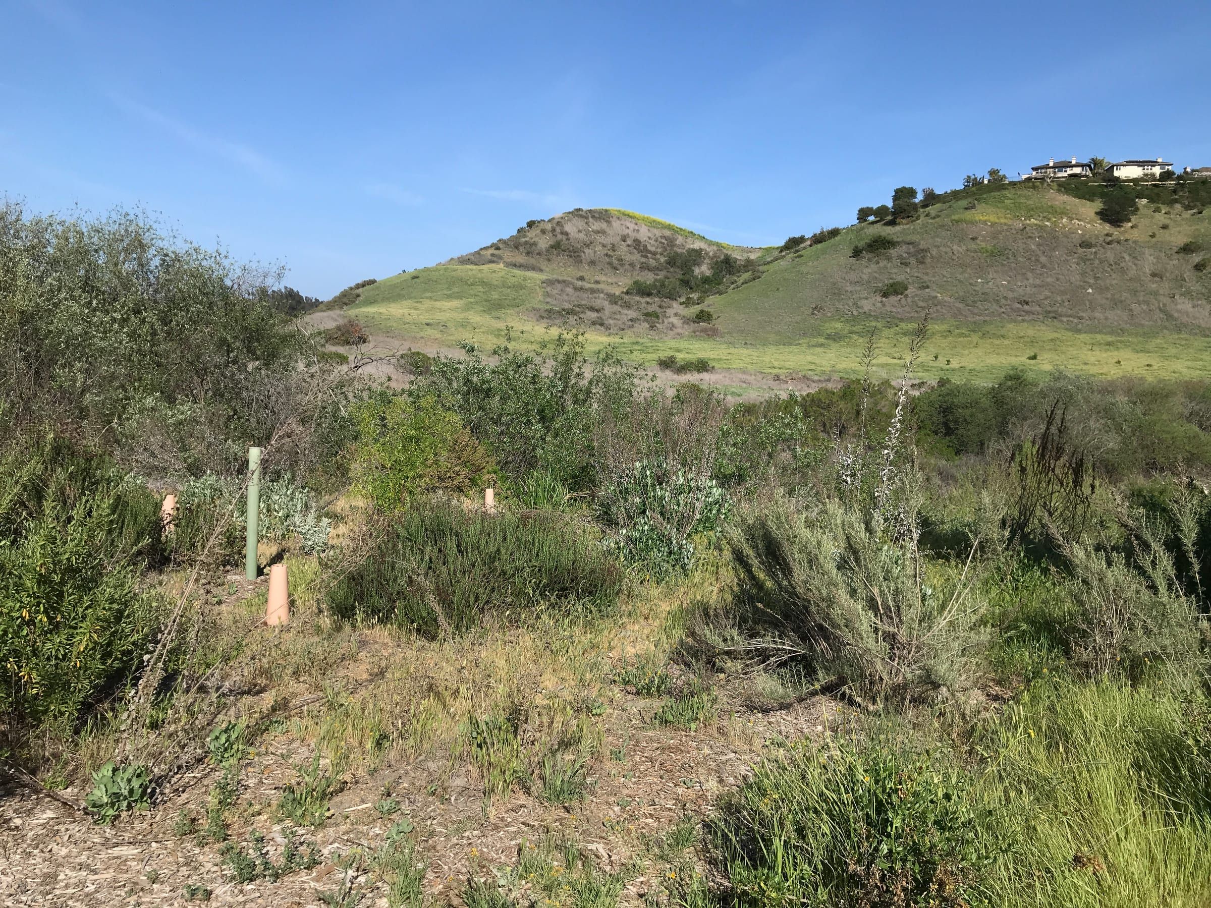
Dripping Cave, also called Robbers Cave, is a sandstone rock shelter in Aliso and Wood Canyons Wilderness Park. OC Parks' map shows a short spur trail to it off Wood Canyon Trail, reached from the park's Alicia Parkway staging area.
Photo: Tracie Hall, CC BY-SA 2.0

- Spur trail
- Dripping Cave Trail, easy, 0.20 mile, hikers and bikes, per OC Parks' map
- Start
- Awma Road staging area, 28373 Alicia Parkway, Laguna Niguel
- Hours
- 7 a.m. to sunset; the lot closes at sunset
- Parking
- $3 a day, as of October 2026
- Dogs
- Rules page: no pets. The map does not mark this route dogs allowed
Where to go
Along the way
- Awma Road staging area Parking, visitor center, restrooms and water, shown on OC Parks' map. Enter and leave only via Alicia Parkway.
- Wood Canyon Trail Easy, 3 miles, multi-use. The Dripping Cave spur branches off it.
- Cave Rock Trail Easy, 0.35 mile, hiking only. A second short spur off the same canyon, per the map.
- Top of the World The park's Laguna Beach ridge entrance, a separate start on the west side of the map.
What the cave is
Dripping Cave is the largest rock shelter in Aliso and Wood Canyons Wilderness Park, according to OC Parks, and the park’s history page gives its other name as Robbers cave. OC Parks calls it a rock shelter and says the name comes from rainwater dripping off the sandstone’s upper lip.
The park is run by OC Parks, not the city. Its main entrance is in Laguna Niguel, and the Aliso and Wood Canyons guide explains which parts sit in Laguna Beach. For the cave, you start at the Alicia Parkway staging area.
The route on OC Parks’ map
The map shows Dripping Cave Trail branching west off Wood Canyon Trail, with the cave at its end. From the Awma Road staging area you reach Wood Canyon Trail along the canyon floor, on the Aliso Creek trails. OC Parks rates these trails:
- Aliso Creek Trail: easy, 1.5 miles, multi-use.
- Wood Canyon Trail: easy, 3 miles, multi-use.
- Dripping Cave Trail: easy, 0.20 mile, multi-use, shown with hiker and bike symbols.
The map does not give a total for the trip to the cave and back. Each length belongs to the whole trail, and you leave Wood Canyon Trail partway along, so treat the numbers as a guide. A second short spur, Cave Rock Trail, branches off the same canyon. OC Parks rates it easy at 0.35 mile and hiking only.
OC Parks marks every authorized trail with posts and says on the map that all others are unauthorized. Stay on posted trails.
Parking, hours and facilities
- Hours: 7 a.m. to sunset. The parking lot closes at sunset.
- Parking: $3 a day as of October 2026. Enter and exit the Awma Road lot via Alicia Parkway only.
- Visitor center: Monday to Friday 9 a.m. to 3:30 p.m., Saturday and Sunday 9 a.m. to 2 p.m.
- Facilities: the map marks restrooms and water at the staging area. OC Parks says trail maps are available at the park entrance and many trailheads.
The park office number is (949) 923-2200. Call it for current trail conditions before you drive over.
Rules that apply
OC Parks’ rules page for the park says:
- No pets, with horses exempt. The park’s trail map marks nine trails dogs allowed, and neither Wood Canyon Trail nor Dripping Cave Trail is one of them.
- No fires, smoking or alcohol, no feeding the animals, and no swimming or wading.
- Anyone under 18 should be with an adult at all times.
- A 10 mph speed limit applies at all times, which matters because the cave spur is open to bikes.
- Park only in designated areas.
OC Parks’ pages list no rule written for the cave itself. Ask a ranger at the park office what applies there.
OC Parks warns of mountain lions, rattlesnakes, poison oak and rugged terrain, and its trail map says your safety cannot be guaranteed.
After rain
OC Parks says trails may close for three days or more after rain, and its rules call the park subject to closure in rainy weather. Check before you go. For biking context on this route, see mountain biking.
History of the shelter
OC Parks’ history page says Native American hunter-gatherers used the shelter as a temporary refuge. It adds that the Juan Flores gang reportedly used it later as a hideout for robbing the San Diego and Los Angeles stagecoach. The trail map bills the robber’s hideout as a legend. For more on the town’s past, see Laguna Beach history.
Guided hikes
The Laguna Canyon Foundation and OC Parks post hikes at Aliso and Wood Canyons with RSVP. As of October 28, 2026, none of the listings names the cave. OC Parks says to contact a ranger for interpretive walks and talks.
Other ways into the canyon
OC Parks lists portable restrooms at several other entrances: the Wood Canyon Gate and the Alta Laguna Park, Moulton Meadows Park and Canyon View Park entrances. Its map marks public access gates on the ridge as well, with trails that drop into Wood Canyon, but it gives no distance from any gate to the cave. This page describes only the Alicia Parkway start. Canyon View is also where the Laguna Canyon Foundation starts several of its guided hikes.
More trails nearby
Aliso Peak is a separate trail at the south end of the same park, near the coast. The hiking guide compares both OC Parks wilderness parks.
Go with a guide
Tours, rentals and lessons
| Who | What their site offers | Checked |
|---|---|---|
| Laguna Canyon Foundation | Lists guided hikes at Aliso and Wood Canyons with online RSVP | |
| OC Parks, Aliso and Wood Canyons | Park office, trail map and event listings; contact a ranger for interpretive walks |
Listed A to Z. Nobody paid to be here; we check each site and date it. Confirm times, prices and age limits with the business before you go.



Keep exploring
Related pages
-
-
-
-
-

-
- Top of the World Neighborhood


Questions
Is Dripping Cave the same as Robbers Cave?
Yes. OC Parks' history page says the cave is also called Robbers cave. The Dripping Cave name comes from rainwater dripping off the upper lip of the sandstone.
How long is the hike to Dripping Cave?
OC Parks' map does not print a total. It lists Dripping Cave Trail itself at 0.20 mile, a spur off Wood Canyon Trail, and gives each canyon trail its own length. Pick up a map at the park office and plan your own loop.
Where do you park for Dripping Cave?
OC Parks' map puts the staging area and vehicle parking at the Awma Road lot, 28373 Alicia Parkway in Laguna Niguel. Parking is $3 a day, and you enter and leave the lot via Alicia Parkway only.
Are dogs allowed on the trail to Dripping Cave?
OC Parks' rules page says no pets, with horses exempt. Its trail map marks nine trails dogs allowed, and the trails to the cave are not among them. Call (949) 923-2200 if you are unsure.
Did robbers really hide in the cave?
OC Parks' history page says the Juan Flores gang reportedly used the shelter as a hideout for robbing stagecoaches, and its trail map describes the robber's hideout as a legend. Treat it as local lore.
Thinking of moving here?
Get the printable moving checklist by email: before you move, moving week and your first 30 days.
Last reviewed
Sources (6)
- Trail map revised 2023-08-04: Dripping Cave Trail easy, 0.20 mile, multi-use with hiker and bike symbols; Cave Rock Trail easy, 0.35 mile, hiking only; Wood Canyon Trail easy, 3 miles, multi-use; Aliso Creek Trail easy, 1.5 miles; Dripping Cave and Cave Rock labeled on the map; staging area with parking, visitor center, restrooms and water; day use 7 a.m. to sunset; authorized trails marked with posts; map headline calls a stagecoach robber's hideout a legend; no dogs-allowed symbol on these trails: parks.oc.gov, checked 2026-10-28
- Park page: 28373 Alicia Parkway, Laguna Niguel; 7 a.m. to sunset; lot closes at sunset; enter and exit the Awma Road lot via Alicia Parkway only; $3 daily; visitor center hours; trails may close three days or more after rain; (949) 923-2200: parks.oc.gov, checked 2026-10-28
- History page: Dripping Cave is also called Robbers cave and is the park's largest rock shelter; Native American hunter-gatherers used it as a temporary refuge; the name comes from rainwater dripping off the sandstone's upper lip; later the shelter was reportedly used by the Juan Flores gang as a hideout from which to rob the San Diego and Los Angeles stagecoach: parks.oc.gov, checked 2026-10-28
- Park rules: no pets (horses exempt); no feeding the animals; fires, smoking and alcohol prohibited; no swimming or wading; minors under 18 should be accompanied by an adult at all times; 10 mph speed limit at all times; park only in designated areas; park subject to closure in rainy weather; mountain lions, rattlesnakes, poison oak and rugged terrain: parks.oc.gov, checked 2026-10-28
- Amenities page: trail maps at the park entrance and many trailheads; portable restrooms at the main entrance, Wood Canyon Gate, Alta Laguna Park, Moulton Meadows Park and Canyon View Park entrances; call the park office for current trail conditions; contact a park ranger for interpretive walks and talks at (949) 923-2200: parks.oc.gov, checked 2026-10-28
- Events list as of October 28, 2026: Discovery Hikes and fitness hikes from Canyon View, an advanced fitness hike, a beginners birding walk and nature walks at Aliso and Wood Canyons; none names the cave; RSVP on each event page: lagunacanyon.org, checked 2026-10-28